Login

Forgot your login?

Cookies have to be accepted!
Your browser's cookie functionality is disabled. Please enable this functionality.

Not a member yet?

Register now
Login

Available for registred users only

Log in to use this feature.

Forgot your login?

Cookies have to be accepted!
Your browser's cookie functionality is disabled. Please enable this functionality.

Not a member yet?

Register now
Filter
Categories
Advanced filters
  • Distance (km)
  • Height
Save filters Reset filter

TrackRank

QRCode

Technical data

Distance52,7 km Height951 m Way down958 m Duration03:20 h:m Date29.07.2009
Scores Author Landscape Fun factor Fitness Technique

Statistics

1507 Views 1 Score 232 Downloads 4.00 Average
Rate
  • Track data sheet
  • Directions
  • Downloads

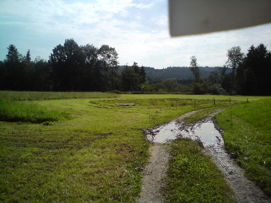
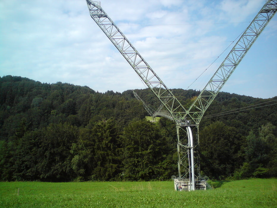
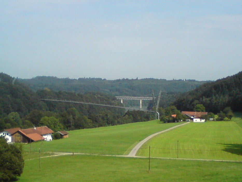
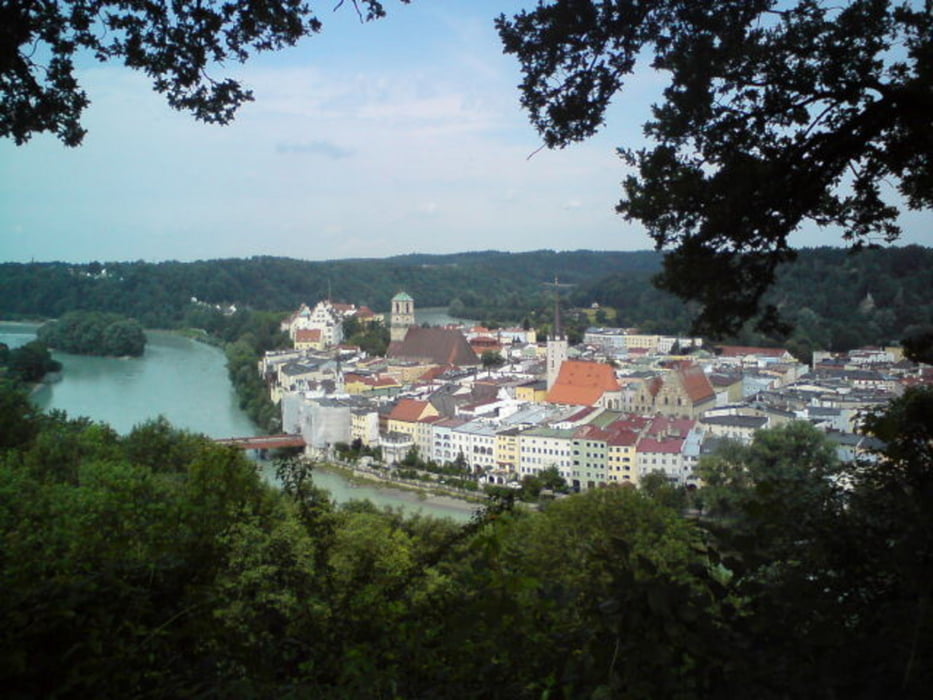
Schöne Tour für Mountainbiker! Führt sehr viel am Inn entlang. Durch das Immer wieder Rauf und Runter an den Innböschungen kann man hier schön Höhe machen. Nur bei Regen muß man sich auf Matsch einstellen. Wasserburg bietet mit seinen Cafe´s eine wunderbare Möglichkeit eine Pause zu machen. Aber nicht zu sehr entspannen, es folgt noch ein steiler Ansieg! Ansonsten viel Spaß beim Radeln!


Tour gallery

Tour map and elevation profile

  • Open Street Map
  • Google
Minimum height 336 m Maximum height 549 m Detailed view

More about the tour author

Hele
Member since 2009

Send private message

Comments

GPS tracks

Trackpoints
  • GPX / Garmin Map Source (gpx) download
  • TCX / Garmin Training Center® (tcx) download
  • CRS / Garmin Training Center® (crs) download
  • Google Earth (kml) download
  • G7ToWin (g7t) download
  • TTQV (trk) download
  • Overlay (ovl) download
  • Fugawi (txt) download
  • Kompass (DAV) Track (tk) download
  • Track data sheet (pdf) download
  • Original file of the author (gpx) download

More about the tour author

Hele
Member since 2009

Send private message
Share track
Add to my favorites
Remove from my favorites
Edit tags
My score
Rate
Track: Der Inn zwischen Gars und Wasserburg
Type: Mountain bike
Distance: 52,7 km
Evaluated on:
Duration:
Day(s)
Hour(s)
Minute(s)
Score: Landscape Fun factor Fitness Technique