


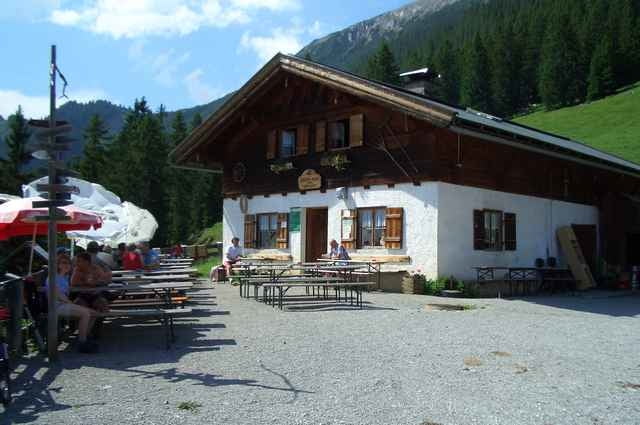
Vom Campingplatz Zugspitzarena nach Ehrwald auf dem Radweg nach Garmisch bis Griesen hier links durchs Neidernachtal zum Plansee, am linken Ufer über Wurzeln (Achtung! Wanderer) weiter zum Heiterwanger See, kurz vor der Brücke links in den Panoramaweg nach Leermoos einbiegen, nach Bichlbach beim Wegweiser „Tuftalm“ geht’s dann links hoch (Einkehrmöglichkeit), Retour geht’s auf der Fahrstraße hinunter nach Ehrwald.
Tour gallery
Tour map and elevation profile
Minimum height 316 m
Maximum height 1525 m
More about the tour author

|
bergkine |
Comments

München–Garmisch-Ehrwald nach der Brücke links zur Zugspitzbahn bis Campingplatz folgen.(Parkplatz)
GPS tracks
Trackpoints-
GPX / Garmin Map Source (gpx) download
-
TCX / Garmin Training Center® (tcx) download
-
CRS / Garmin Training Center® (crs) download
-
Google Earth (kml) download
-
G7ToWin (g7t) download
-
TTQV (trk) download
-
Overlay (ovl) download
-
Fugawi (txt) download
-
Kompass (DAV) Track (tk) download
-
Track data sheet (pdf) download
-
Original file of the author (g7t) download
More about the tour author
|
|
bergkine |
Add to my favorites
Remove from my favorites
Edit tags
Open track
My score
Rate