Login

Forgot your login?

Cookies have to be accepted!
Your browser's cookie functionality is disabled. Please enable this functionality.

Not a member yet?

Register now
Login

Available for registred users only

Log in to use this feature.

Forgot your login?

Cookies have to be accepted!
Your browser's cookie functionality is disabled. Please enable this functionality.

Not a member yet?

Register now
Filter
Categories
Advanced filters
  • Distance (km)
  • Height
Save filters Reset filter

TrackRank

QRCode

Technical data

Distance44,1 km Height314 m Way down318 m Duration02:30 h:m Date01.08.2009
Scores Author User Landscape Fun factor Fitness Technique

Statistics

1535 Views 4 Scores 238 Downloads 3.75 Average
Rate
  • Track data sheet
  • Directions
  • Downloads

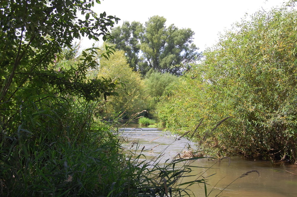
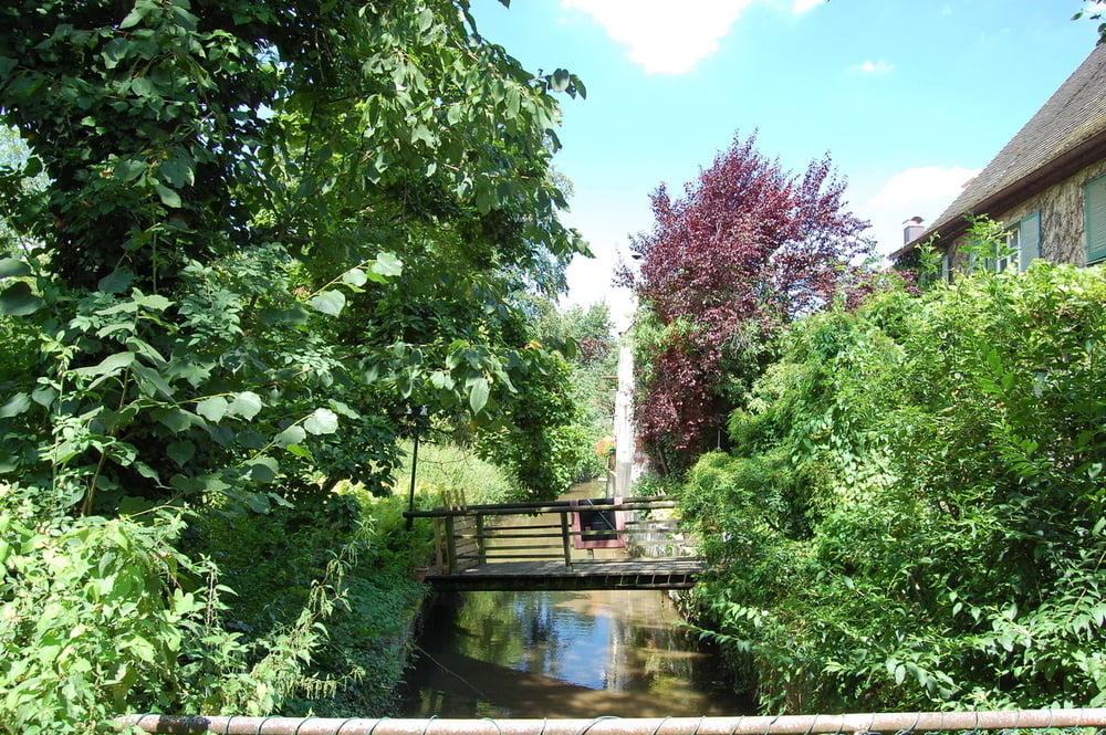
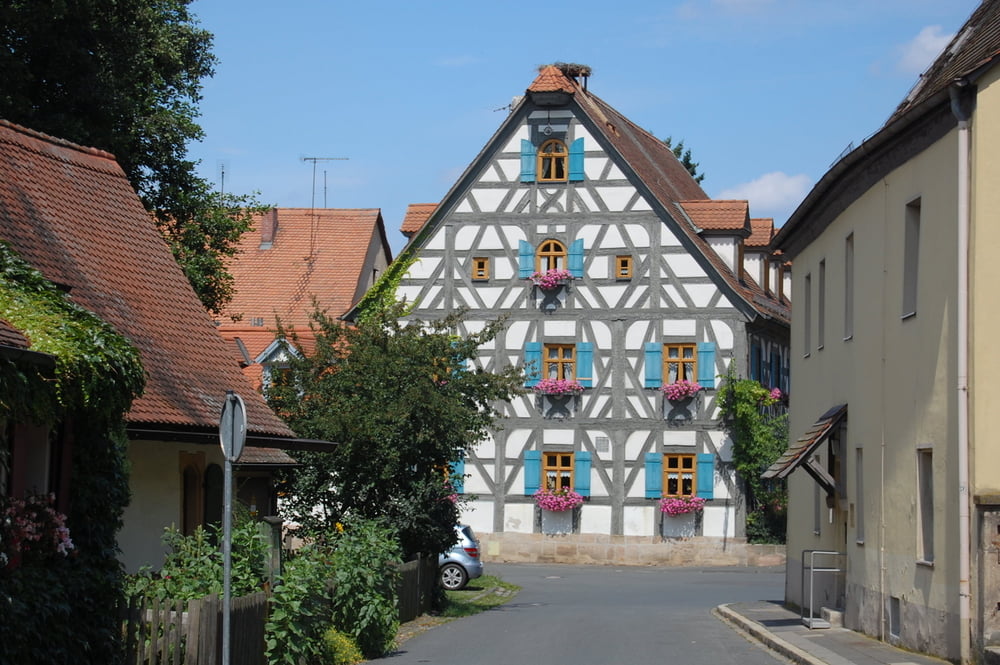
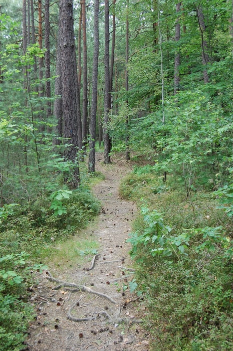
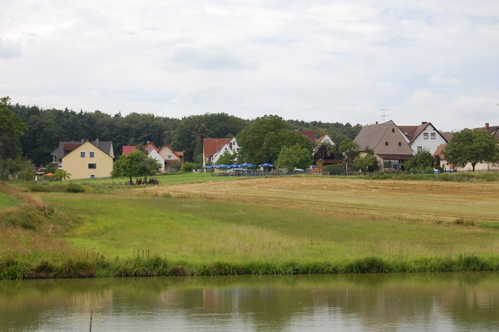
Die Tour geht zu 95% auf Feld-Wald und Schotterwege, es sind Einige Singletrails dabei. Eine Einkehr im Biergarten ist auch noch drin (Obermembach). Man kann die Tour auch noch etwas im Wald erweitern, da ist die eine oder ander Gute abfahrt vorhanden. Wünsche viel Spass beim ausprobiern und beim Biken.


Tour gallery

Tour map and elevation profile

  • Open Street Map
  • Google
Minimum height 284 m Maximum height 379 m Detailed view

More about the tour author

Skinwalker
Member since 2009

Send private message

Comments

Tourstart war Tuchenbach, das liegt zwischen Herzogenaurach und Veitsbronn

GPS tracks

Trackpoints
  • GPX / Garmin Map Source (gpx) download
  • TCX / Garmin Training Center® (tcx) download
  • CRS / Garmin Training Center® (crs) download
  • Google Earth (kml) download
  • G7ToWin (g7t) download
  • TTQV (trk) download
  • Overlay (ovl) download
  • Fugawi (txt) download
  • Kompass (DAV) Track (tk) download
  • Track data sheet (pdf) download
  • Original file of the author (gpx) download

More about the tour author

Skinwalker
Member since 2009

Send private message
Share track
Add to my favorites
Remove from my favorites
Edit tags
My score
Rate
Track: Tuchenbach Runde um Herzogenaurach
Type: Mountain bike
Distance: 44,1 km
Evaluated on:
Duration:
Day(s)
Hour(s)
Minute(s)
Score: Landscape Fun factor Fitness Technique