


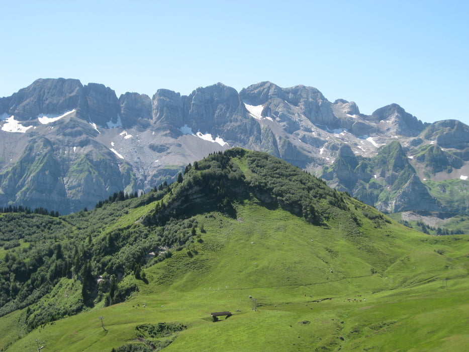
Ein paar Worte zu der Region Portes de Soleil: Das ist schon überwiegend ein Downhill-Eldorado. Die Wege sind meist schwierig zu befahren und zum Teil im Aufstieg kaum fahrbar. Viele Engländer in kompletten Protektoren-Anzügen mit schweren Downhiller-Helmen sind auf den Pisten abwärts unterwegs. Gut dass ich mir vorher noch ein Fully zugelegt hatte mit ordentlich Federweg vorn - mit meinem alten MTB hätte ich diese Strecken nicht fahren können.
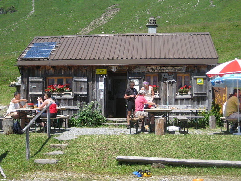
Die Tour von Frankreich in die Schweiz und zurück war insgesamt echt toll und wir haben natürlich auch die Liftanlagen benutzt, sonst wäre diese HM in dieser Zeit (für uns) nicht zu schaffen gewesen. Die Pause mit Mittagessen an der Buvette Le Lapisa war sehr nett und das Essen gut.
Further information at
http://www.portesdusoleil.com/alpen/mountainbike-alpen.htmlTour gallery
Tour map and elevation profile
Minimum height 955 m
Maximum height 2227 m
More about the tour author
|
|
mconze |
Comments

Von Montreux aus die Autobahn nach Monthey - dort nach Morgins und über den Col de Morgins nach Frankreich nach Chapelle d'Abondance.
GPS tracks
Trackpoints-
GPX / Garmin Map Source (gpx) download
-
TCX / Garmin Training Center® (tcx) download
-
CRS / Garmin Training Center® (crs) download
-
Google Earth (kml) download
-
G7ToWin (g7t) download
-
TTQV (trk) download
-
Overlay (ovl) download
-
Fugawi (txt) download
-
Kompass (DAV) Track (tk) download
-
Track data sheet (pdf) download
-
Original file of the author (gpx) download
More about the tour author
|
|
mconze |
Add to my favorites
Remove from my favorites
Edit tags
Open track
My score
Rate