


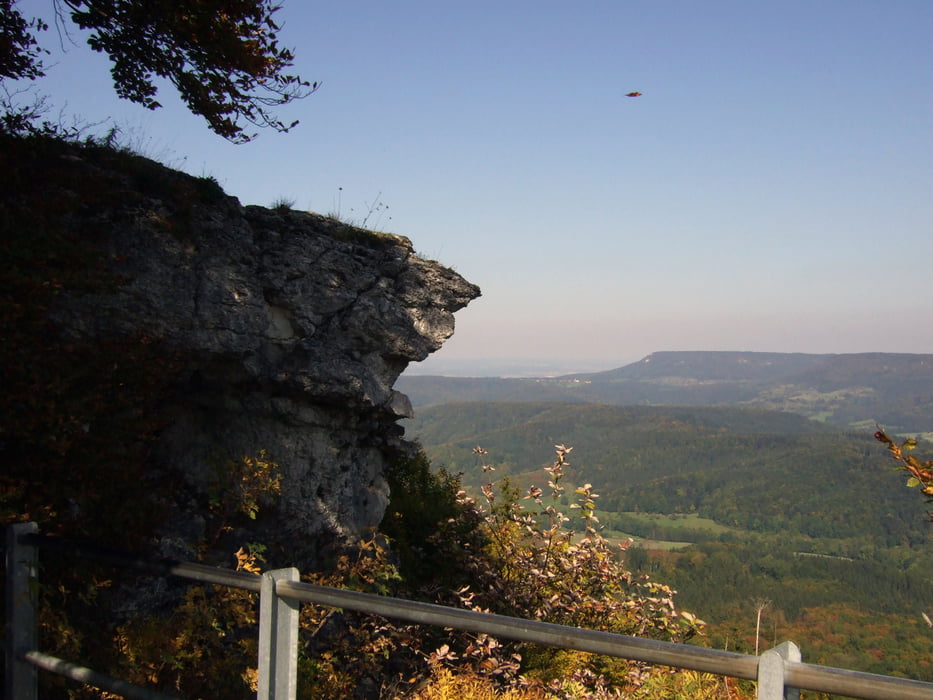
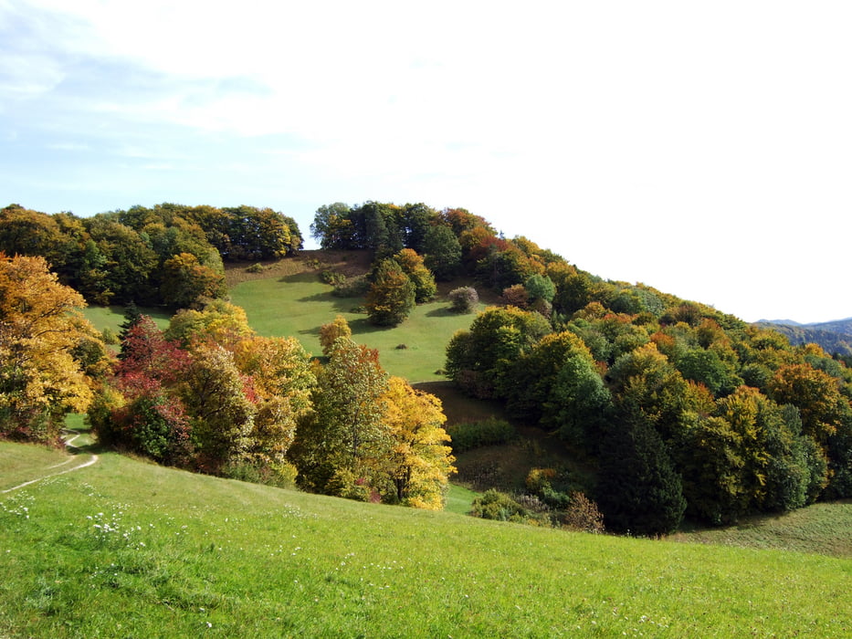
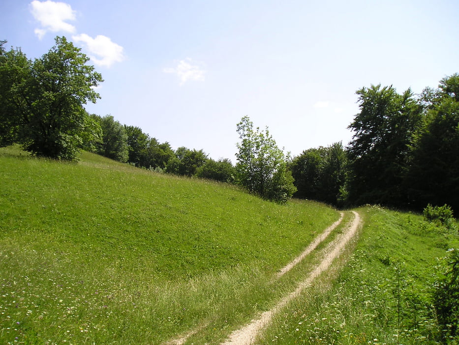
Die Tour führt von Tailfingen nach Onstmettingen die erste Steigung ist das Strässchen hoch Richtung Hausen. Oben angekommen gehts Links ab Richtung Zollergraben. Am Zollergraben entlang über viele Felsbrocken und Wurzeln an einigen Aussichtspunkten vorbei (Hangender Stein usw...) danach kommt eine etwas steile und steinige Abfahrt über mehrere Absätze und Kehren, aber ist gut zu meistern (wer will kann ja schieben) in Richtung Zellerhorn wo man einen Wahnsinns Blick auf den Hohenzollern hat. Von dort gehts Richtung Zollersteighof am Skilift Onstmettingen vorbei zum Stich und anschließend auf den Zitterhof und auf den Irrenberg. Danach nach Pfeffingen am Trauf entlang nach Margrethausen und über Ebingen wieder nach Tailfingen zurück.
Tour gallery

Tour map and elevation profile
Minimum height 667 m
Maximum height 935 m
More about the tour author

|
MaaGoo |
Comments

GPS tracks
Trackpoints-
GPX / Garmin Map Source (gpx) download
-
TCX / Garmin Training Center® (tcx) download
-
CRS / Garmin Training Center® (crs) download
-
Google Earth (kml) download
-
G7ToWin (g7t) download
-
TTQV (trk) download
-
Overlay (ovl) download
-
Fugawi (txt) download
-
Kompass (DAV) Track (tk) download
-
Track data sheet (pdf) download
-
Original file of the author (gpx) download
More about the tour author
|
|
MaaGoo |
Add to my favorites
Remove from my favorites
Edit tags
Open track
My score
Rate