Login

Forgot your login?

Cookies have to be accepted!
Your browser's cookie functionality is disabled. Please enable this functionality.

Not a member yet?

Register now
Login

Available for registred users only

Log in to use this feature.

Forgot your login?

Cookies have to be accepted!
Your browser's cookie functionality is disabled. Please enable this functionality.

Not a member yet?

Register now
Filter
Categories
Advanced filters
  • Distance (km)
  • Height
Save filters Reset filter

TrackRank

QRCode

Technical data

Distance40,0 km Height673 m Way down638 m Duration03:05 h:m Date09.08.2009
Scores Author Landscape Fun factor Fitness Technique

Statistics

1198 Views 3 Scores 207 Downloads 1.67 Average
Rate
  • Track data sheet
  • Directions
  • Downloads

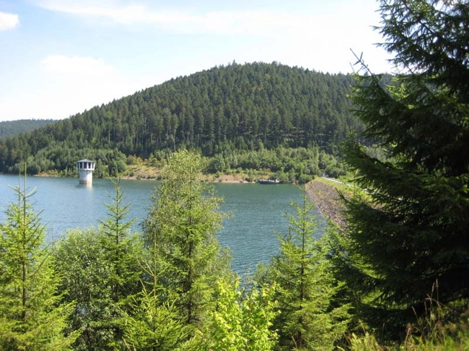
Start am Parkplatz an der B 28 – Zwieselberg – Stausee Kleine Kinzig – auf der Staumauer auf die östliche Seite des Sees – wieder bergauf nach Zwieselberg – Richtung Freudenstadt – nördlich der B28 nach Kniebis Dorf – zurück zum Ausgangspunkt.

Tour gallery

Tour map and elevation profile

  • Open Street Map
  • Google
Minimum height 617 m Maximum height 948 m Detailed view

More about the tour author

haelge
Member since 2008

Send private message

Comments

Auf der B 28

GPS tracks

Trackpoints
  • GPX / Garmin Map Source (gpx) download
  • TCX / Garmin Training Center® (tcx) download
  • CRS / Garmin Training Center® (crs) download
  • Google Earth (kml) download
  • G7ToWin (g7t) download
  • TTQV (trk) download
  • Overlay (ovl) download
  • Fugawi (txt) download
  • Kompass (DAV) Track (tk) download
  • Track data sheet (pdf) download
  • Original file of the author (gpx) download

More about the tour author

haelge
Member since 2008

Send private message
Share track
Add to my favorites
Remove from my favorites
Edit tags
My score
Rate
Track: Kniebis - Zwieselberg - Stausee Kleine Kinzig - Kniebis Dorf
Type: Mountain bike
Distance: 40,0 km
Evaluated on:
Duration:
Day(s)
Hour(s)
Minute(s)
Score: Landscape Fun factor Fitness Technique