Login

Forgot your login?

Cookies have to be accepted!
Your browser's cookie functionality is disabled. Please enable this functionality.

Not a member yet?

Register now
Login

Available for registred users only

Log in to use this feature.

Forgot your login?

Cookies have to be accepted!
Your browser's cookie functionality is disabled. Please enable this functionality.

Not a member yet?

Register now
Filter
Categories
Advanced filters
  • Distance (km)
  • Height
Save filters Reset filter

TrackRank

QRCode

Technical data

Distance65,7 km Height586 m Way down542 m Duration08:00 h:m Date10.08.2009
Scores Author Landscape Fun factor Fitness Technique

Statistics

203 Views Scores 30 Downloads Average
Rate
  • Track data sheet
  • Directions
  • Downloads
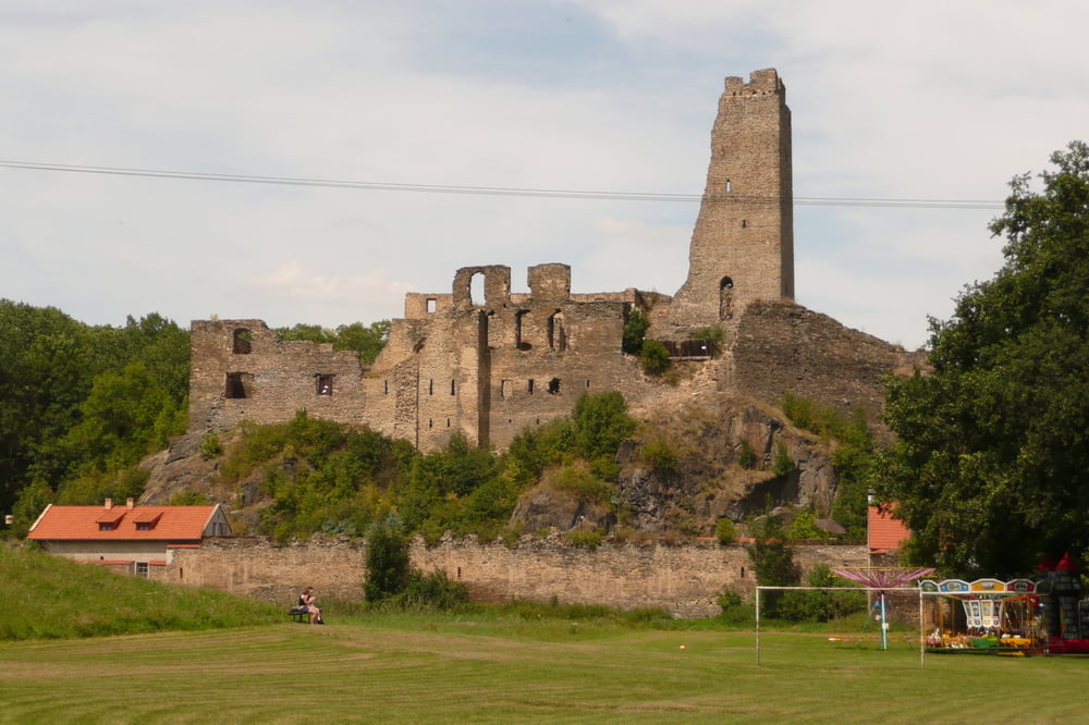
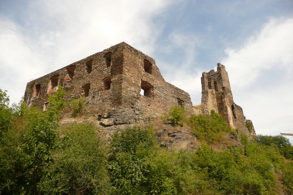
Z Cakovic dolu k rece, trajekt Klecanky, nahoru po cervene na Okor, do Kralup po cervene podel trate, podel reky, pak nahoru technika do Vetrusice a zpatky...

Tour gallery

Tour map and elevation profile

  • Open Street Map
  • Google
Minimum height 156 m Maximum height 319 m Detailed view

More about the tour author

Listansky
Member since 2009

Send private message

Comments

GPS tracks

Trackpoints
  • GPX / Garmin Map Source (gpx) download
  • TCX / Garmin Training Center® (tcx) download
  • CRS / Garmin Training Center® (crs) download
  • Google Earth (kml) download
  • G7ToWin (g7t) download
  • TTQV (trk) download
  • Overlay (ovl) download
  • Fugawi (txt) download
  • Kompass (DAV) Track (tk) download
  • Track data sheet (pdf) download
  • Original file of the author (gpx) download

More about the tour author

Listansky
Member since 2009

Send private message
Share track
Add to my favorites
Remove from my favorites
Edit tags
My score
Rate
Track: No Okor je cesta jako kazda ze sta...
Type: Mountain bike
Distance: 65,7 km
Evaluated on:
Duration:
Day(s)
Hour(s)
Minute(s)
Score: Landscape Fun factor Fitness Technique