


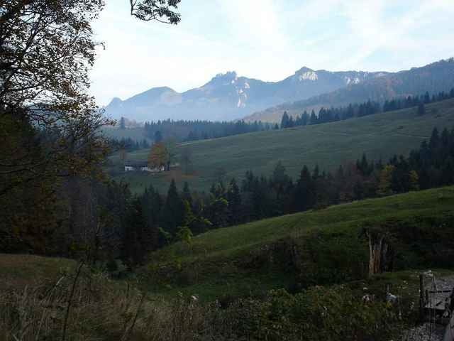
Erst einfache Tour zur Frasdorfer Hütte, dann steil zum Laubensteingipfel mit fabelhafter Alm und genialem Blick auf Simssee/ Chiemsee.
Auffahrt Im Tal nach oben zur Frasdorfer Hütte. Als Alternative westlich (sonniger) Weg über Winterstube. Ab Frasdorfer Hütte steiler und zum Gatter beim Eiskeller auch technisch schwierigere Auffahrt. Der Weg ist grundätzlich kalt und schattig, also auch im Sommer geeignet. Am Eiskeller links bergauf auf die weite Alm am Laubensteingipfel.
Einkehr Hofalm und Frasdorfer Hütte lohnen beide sehr.
Further information at
http://www.martin-blum.de/bikeTour gallery
Tour map and elevation profile
Minimum height 515 m
Maximum height 1336 m
More about the tour author
|
|
martin.blum |
Comments

A8 München Salzburg, Ausfahrt Frasdorf. Im Ort bei der Kirche nach Süden Richtung Sagberg/ Ledererstube. Dann nur noch Parkplatz Ledererstube folgen.
GPS tracks
Trackpoints-
GPX / Garmin Map Source (gpx) download
-
TCX / Garmin Training Center® (tcx) download
-
CRS / Garmin Training Center® (crs) download
-
Google Earth (kml) download
-
G7ToWin (g7t) download
-
TTQV (trk) download
-
Overlay (ovl) download
-
Fugawi (txt) download
-
Kompass (DAV) Track (tk) download
-
Track data sheet (pdf) download
-
Original file of the author (gpx) download
More about the tour author
|
|
martin.blum |
Add to my favorites
Remove from my favorites
Edit tags
Open track
My score
Rate