


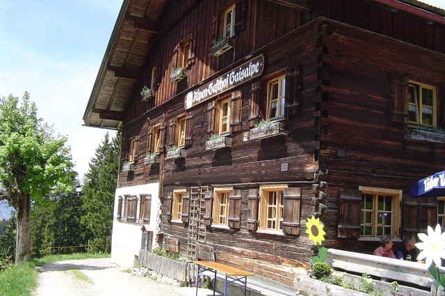
Die Tour führt uns von Tiefenbach aus im Zick-Zack Kurs durch Oberstdorf Richtung Fischen. Hinter Reichenbach beginnt der Anstieg zur Gaisalpe (Geöffnet von Mai bis Oktober) Von dort aus geht es über den Wallraffweg zurück nach Oberstdorf. Vorbei am Skistadion führt der Weg dann wieder nach Tiefenbach zum Gästehaus Tanneck.
VIEL SPASS BEIM NACHFAHREN !!!
VIEL SPASS BEIM NACHFAHREN !!!
Tour gallery
Tour map and elevation profile
Minimum height 763 m
Maximum height 1182 m
More about the tour author
|
|
Captain |
Comments

Gestartet sind wir in Tiefenbach am Gästehaus Tanneck (Im Weidach)
GPS tracks
Trackpoints-
GPX / Garmin Map Source (gpx) download
-
TCX / Garmin Training Center® (tcx) download
-
CRS / Garmin Training Center® (crs) download
-
Google Earth (kml) download
-
G7ToWin (g7t) download
-
TTQV (trk) download
-
Overlay (ovl) download
-
Fugawi (txt) download
-
Kompass (DAV) Track (tk) download
-
Track data sheet (pdf) download
-
Original file of the author (gpx) download
More about the tour author
|
|
Captain |
Add to my favorites
Remove from my favorites
Edit tags
Open track
My score
Rate