


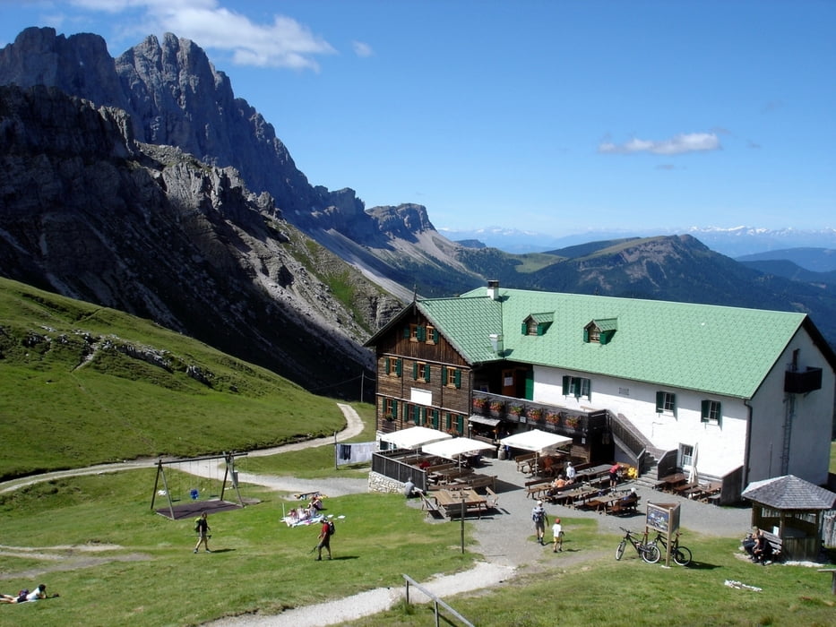
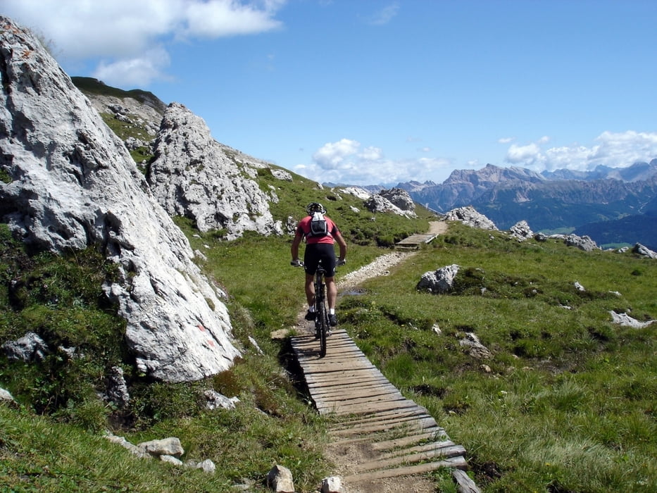
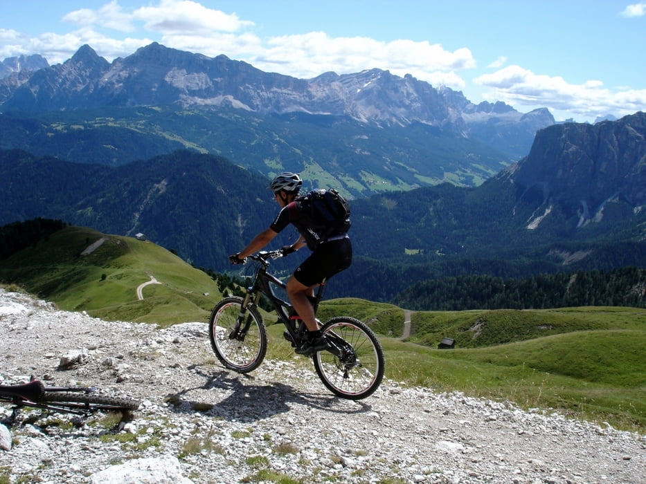
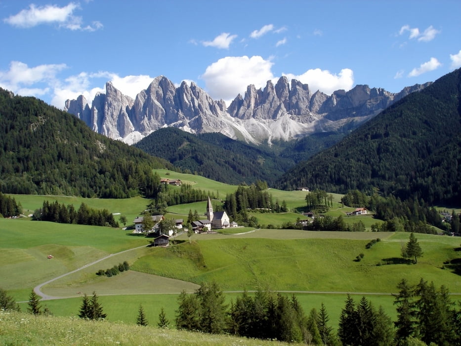
Partenza dal posteggio di Ranui a S.Maddalena in Funes e piacevole salita verso Malga Zannes e la Gampenalm. Da qui è faticosa l’ascesa per il Rifugio Genova e il Passo Poma (stupendo il panorama). Da qui single-track in quota e poi nel bosco (più complicato, a tratti c’è da scendere) fino all’Alpe Fornella. Breve tratto di asfalto per poi deviare su forestale, attraversando prima il greto di un fiume, per la Drockeralm. Da qui fino a S.Maddalena è un susseguirsi di saliscendi ed il panorama sulle Odle ci allevia la fatica che comincia a farsi sentire!
Further information at
http://www.sibillini-mtb.itTour gallery
Tour map and elevation profile
Minimum height 1313 m
Maximum height 2353 m
More about the tour author
|
|
barbonis |
Comments

GPS tracks
Trackpoints-
GPX / Garmin Map Source (gpx) download
-
TCX / Garmin Training Center® (tcx) download
-
CRS / Garmin Training Center® (crs) download
-
Google Earth (kml) download
-
G7ToWin (g7t) download
-
TTQV (trk) download
-
Overlay (ovl) download
-
Fugawi (txt) download
-
Kompass (DAV) Track (tk) download
-
Track data sheet (pdf) download
-
Original file of the author (gpx) download
More about the tour author
|
|
barbonis |
Add to my favorites
Remove from my favorites
Edit tags
Open track
My score
Rate