


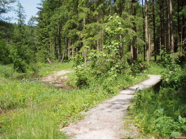
Die Strecke ist eine Zusammenfassung der Touren 2668,2680,1562 (Bernbachtal, Wüstenrot, Räuberweg) Sie fängt etwas weiter im Westen an und geht über Wüstenrot noch weiter Richtung Nord-Osten. Man kann die Tour am Wegpunkt A1 sehr gut um ein gutes Stück abkürzen. Dies ist vor allem für diejenigen Interessant die nicht so auf Fahrradwege (Teer) und nur Schotter stehen. Landschaftlich ist der Zusatzteil jedoch durchaus sehenswert (mehrere kleine Seen, Schotterhighspeedabfahrt etc.).
Further information at
http://www.mtbike.orgTour gallery
Tour map and elevation profile
Minimum height 345 m
Maximum height 557 m
More about the tour author

|
olaf.krause |
Comments

Ich habe versucht im Track alle Trails zu markieren (Fahrverbot; Anfang mit TA Ende mit TE). D.h. Ihr könnt anhand des Track entscheiden welcher Tourteil für Euch interessant sein könnte.
GPS tracks
Trackpoints-
GPX / Garmin Map Source (gpx) download
-
TCX / Garmin Training Center® (tcx) download
-
CRS / Garmin Training Center® (crs) download
-
Google Earth (kml) download
-
G7ToWin (g7t) download
-
TTQV (trk) download
-
Overlay (ovl) download
-
Fugawi (txt) download
-
Kompass (DAV) Track (tk) download
-
Track data sheet (pdf) download
-
Original file of the author (g7t) download
More about the tour author
|
|
olaf.krause |
Add to my favorites
Remove from my favorites
Edit tags
Open track
My score
Rate