


kleine Einführungsrunde im oberen Vinschgau und einen Blick ins Matschertal. Highlight ist sicherliche der Bergwaalweg mit einem traumhaften Flow und manchmal ein bisserl tricky.
Achtung: der Weg unterhalb der Spitzigen Lu hört bei km 15,2 einfach auf. Ich musste daher am Gatter das bike ca. 100hm steil nach unten tragen. Besser circa 200 vorher den Wanderweg Nr. 18 nehmen, der führt durch die Schlucht direkt auf den Verbindungsweg Richtung Matscher Tal.
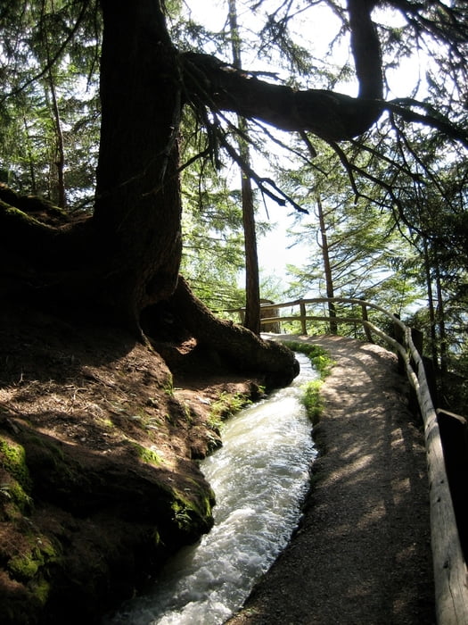
Tour gallery
Tour map and elevation profile
Minimum height 910 m
Maximum height 1858 m
More about the tour author

|
Pitcairn |
Comments

GPS tracks
Trackpoints-
GPX / Garmin Map Source (gpx) download
-
TCX / Garmin Training Center® (tcx) download
-
CRS / Garmin Training Center® (crs) download
-
Google Earth (kml) download
-
G7ToWin (g7t) download
-
TTQV (trk) download
-
Overlay (ovl) download
-
Fugawi (txt) download
-
Kompass (DAV) Track (tk) download
-
Track data sheet (pdf) download
-
Original file of the author (gpx) download
More about the tour author
|
|
Pitcairn |
Add to my favorites
Remove from my favorites
Edit tags
Open track
My score
Rate