
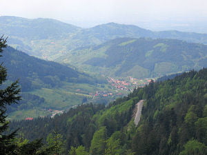

Was soll ich da schreiben... es geht steil Bergauf damit man schnell auf 1167m Höhe ist. Ab hier kann man die Aussicht geniesen und auf tollen Singeltrails Richtung Seibelseckle rocken. Von hier (Aussicht) geht es zur Darmstädter Hüttet-Ruhestein-Vogelskopf (1000m Weg) die beste Aussicht ins Achertal, und wo man heute schon war. Sattel runter, Abfahrt auf flowigenTrails bis Ottenhöfen mit technischen Passagen.
Tour map and elevation profile
Minimum height 161 m
Maximum height 1158 m
More about the tour author

|
RT-Cycles |
Comments
GPS tracks
Trackpoints-
GPX / Garmin Map Source (gpx) download
-
TCX / Garmin Training Center® (tcx) download
-
CRS / Garmin Training Center® (crs) download
-
Google Earth (kml) download
-
G7ToWin (g7t) download
-
TTQV (trk) download
-
Overlay (ovl) download
-
Fugawi (txt) download
-
Kompass (DAV) Track (tk) download
-
Track data sheet (pdf) download
-
Original file of the author (gpx) download
More about the tour author
|
|
RT-Cycles |
Add to my favorites
Remove from my favorites
Edit tags
Open track
My score
Rate
heute gefahren
Die Abfahrt nach Ottenhoefen kannte ich nocht nicht, war klasse. Genau richtig zwischen flow und verblockt um Spass zu machen, danke fuers Zeigen :)