
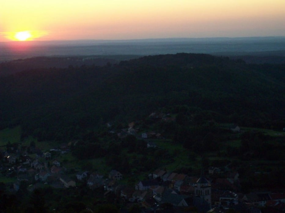

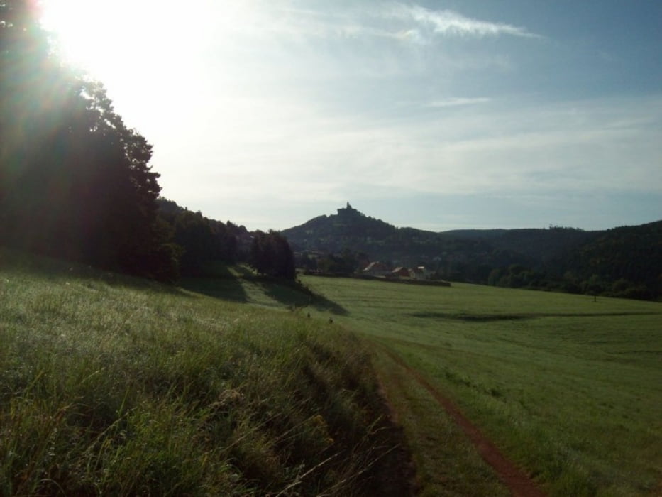
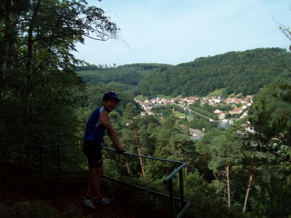
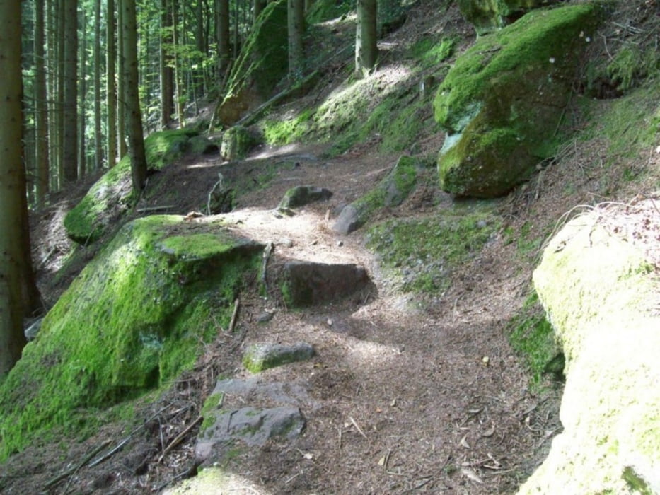
"Balcons de Dabo"
wohl eine der besten CTFs der Welt!
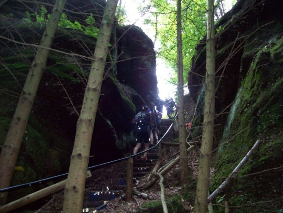
Trails ohne Ende, technisch und landschaftlich sehr schön! Aber auch richtig anstrengend. Die 90er Runde (die eigentlich nur 80km hat) hats richtig in sich. Bei der 90er Runde wird ein kleiner Teil (vor allem der laaange Anstieg) doppelt befahren.
Der Boden ist überwiegend sehr sandig und steinig.
Wegen der Teilweise nicht ungefährlichen Passagen und des konditionellen Anspruchs ist die Tour nicht für Anfänger zu empfehlen.
Idealer Ausgangspunkt um die Tour nachzufahren ist der Campingplatz am Fuße der Kapelle von Dabo (Camping du Rocher, direkt am Rocher de Dabo)
Further information at
http://www.balcons-de-dabo.org/Tour gallery
Tour map and elevation profile
Minimum height 224 m
Maximum height 646 m
More about the tour author

|
BikeAid |
Comments

Start und Ziel sind am Freizeitzentrum am Ortseingang von Dabo aus nördlicher Richtung kommend.
GPS tracks
Trackpoints-
GPX / Garmin Map Source (gpx) download
-
TCX / Garmin Training Center® (tcx) download
-
CRS / Garmin Training Center® (crs) download
-
Google Earth (kml) download
-
G7ToWin (g7t) download
-
TTQV (trk) download
-
Overlay (ovl) download
-
Fugawi (txt) download
-
Kompass (DAV) Track (tk) download
-
Track data sheet (pdf) download
-
Original file of the author (gpx) download
More about the tour author
|
|
BikeAid |
Add to my favorites
Remove from my favorites
Edit tags
Open track
My score
Rate