


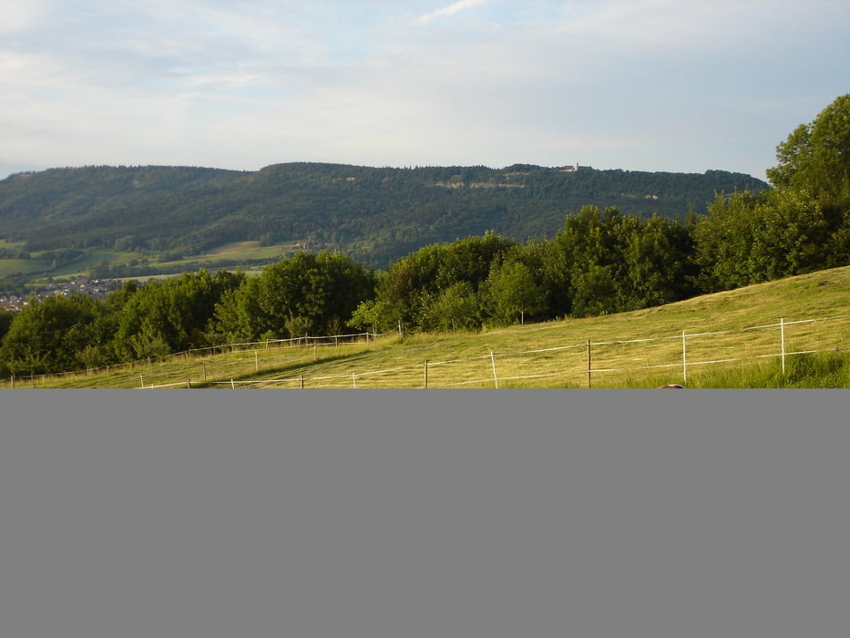
Aldingen - Winzingen - Ri-Spaichingen - am Fischweiher vorbei - auf Heubergbahntrasse Ri Spaichingen bis Kreuzung, links Ri Dreifaltigkeitsberg -Startplatz Drachenflieger - Ri-Böttingen - Breite Steige - Balgheim - Bulzingen - Zundelberg - Hausen ob Verena - Strasse nach Spaichingen an zweiter Kehre gerade in den Feldweg - durch den Wald - am Waldrand entlang und bald wieder in den Wald bis sich der Weg verliert, dann zwischen den Bäumen nach unten bis man wieder auf einen Waldweg trifft - Strasse links - bis freie Fläche kommt, hier auf Feld-/Waldweg wieder rechts halten - Aldingen
Tour gallery
Tour map and elevation profile
Minimum height 634 m
Maximum height 1016 m
More about the tour author

|
JV |
Comments

Startpunkt Aldingen: ca. 15 km von der Ausfahrt Rottweil in Richtung Tuttlingen, z.B. Parkplatz am Rathaus
GPS tracks
Trackpoints-
GPX / Garmin Map Source (gpx) download
-
TCX / Garmin Training Center® (tcx) download
-
CRS / Garmin Training Center® (crs) download
-
Google Earth (kml) download
-
G7ToWin (g7t) download
-
TTQV (trk) download
-
Overlay (ovl) download
-
Fugawi (txt) download
-
Kompass (DAV) Track (tk) download
-
Track data sheet (pdf) download
-
Original file of the author (gpx) download
More about the tour author
|
|
JV |
Add to my favorites
Remove from my favorites
Edit tags
Open track
My score
Rate