


Kohlfurth - Müngstner Brücke II
Dies ist eine Rundtour und sie beginnt auf dem Parkplatz nach dem Strandcafe in der Kohlfurth.
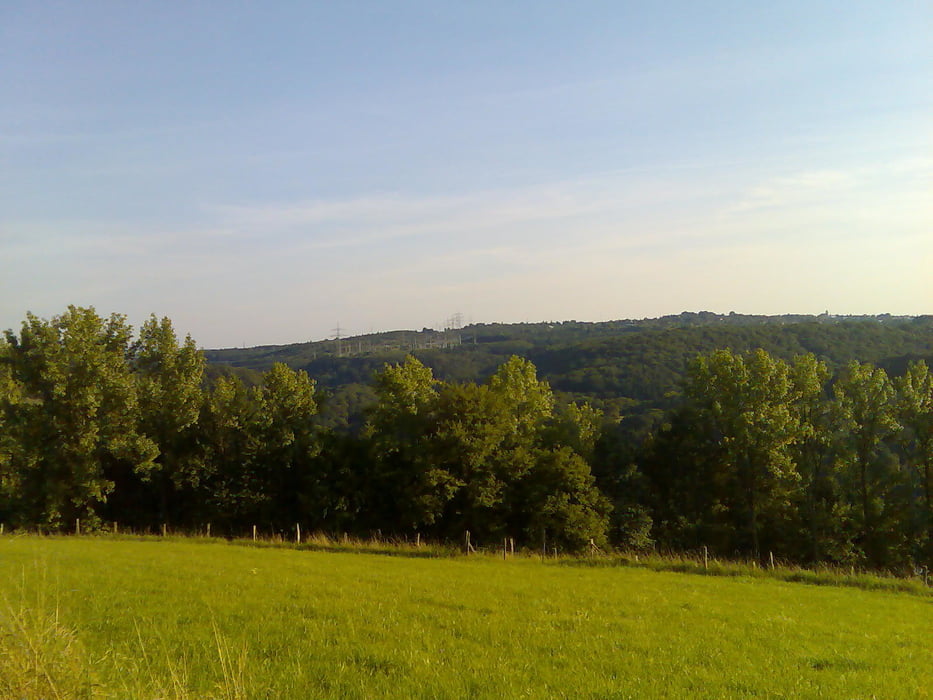
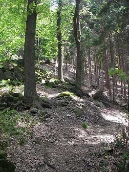
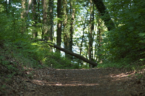
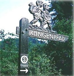
Vom Parkplatz aus nach rechts abbiegen (so können die Trails am besten gefahren werden) in Richtung der Müngstner Brücke. Auf dieser Seite der Wupper sind vier Singeltrails eingebaut die etwas Technik vorraus setzen (Wurzeln und Steine). Der Rückweg geht über den Solinger Klingenpfad bis zum Strandcafe zurück. Der größte Teil der Strecke verläuft im Wald, hier und da müssen Straßen als Verbindung genutzt werden.
Viel Spaß beim Nachfahren !
Tour gallery
Tour map and elevation profile
Minimum height 108 m
Maximum height 225 m
More about the tour author
|
|
MarcusVergin |
Comments

GPS tracks
Trackpoints-
GPX / Garmin Map Source (gpx) download
-
TCX / Garmin Training Center® (tcx) download
-
CRS / Garmin Training Center® (crs) download
-
Google Earth (kml) download
-
G7ToWin (g7t) download
-
TTQV (trk) download
-
Overlay (ovl) download
-
Fugawi (txt) download
-
Kompass (DAV) Track (tk) download
-
Track data sheet (pdf) download
-
Original file of the author (gpx) download
More about the tour author
|
|
MarcusVergin |
Add to my favorites
Remove from my favorites
Edit tags
Open track
My score
Rate