Login

Forgot your login?

Cookies have to be accepted!
Your browser's cookie functionality is disabled. Please enable this functionality.

Not a member yet?

Register now
Login

Available for registred users only

Log in to use this feature.

Forgot your login?

Cookies have to be accepted!
Your browser's cookie functionality is disabled. Please enable this functionality.

Not a member yet?

Register now
Filter
Categories
Advanced filters
  • Distance (km)
  • Height
Save filters Reset filter

TrackRank

QRCode

Technical data

Distance39,1 km Height2094 m Way down2099 m Duration00:00 h:m Date19.08.2009
Scores Author Landscape Fun factor Fitness Technique

Statistics

2036 Views Scores 377 Downloads Average
Rate
  • Track data sheet
  • Directions
  • Downloads
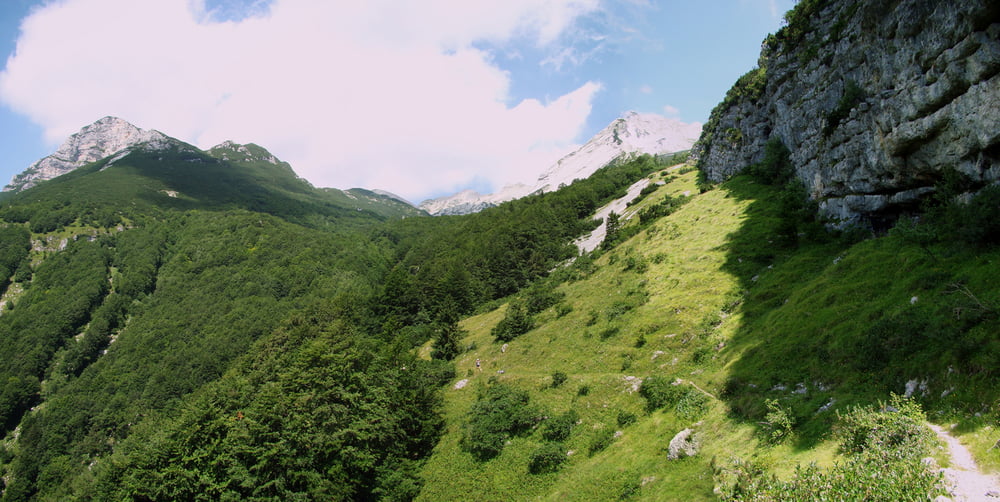
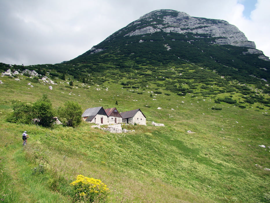
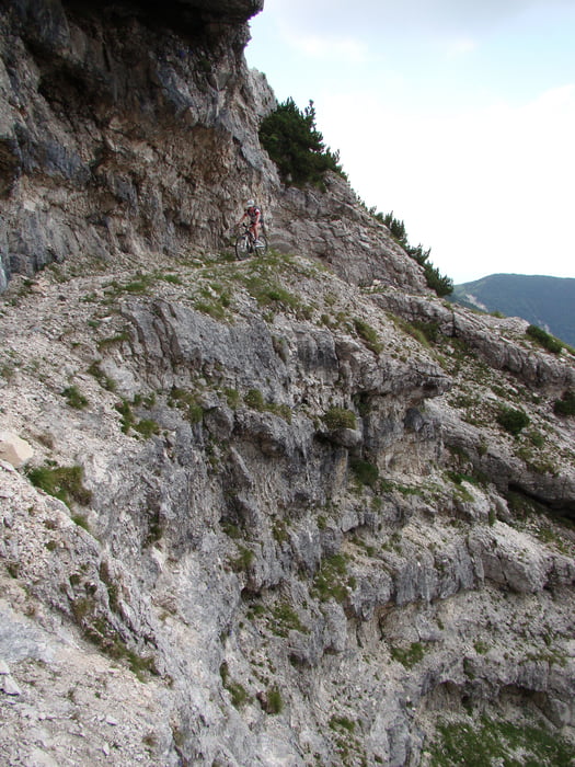
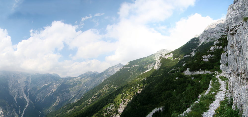
Prijeten in nepreveč naporen vzpon skozi tolminska korita,do Tolminskih Raven,nato pa vstop v TNP in po mulatjeri na Planino Razor.Od tu naprej je singlca do planine na Kalu prepovedana za kolesarje,zato spošujmo naravo in vozimo samo po poti.Pot nadaljujemo po mulatjeri do planine Dobrenjščica,od tu naprej pa strm spust,primeren za izkušene gorske kolesarje do planine Polog.

Tour gallery

Tour map and elevation profile

  • Open Street Map
  • Google
Minimum height 161 m Maximum height 1770 m Detailed view

More about the tour author

caperos
Member since 2008

Send private message

Comments

Začetek v Tolminu.

GPS tracks

Trackpoints
  • GPX / Garmin Map Source (gpx) download
  • TCX / Garmin Training Center® (tcx) download
  • CRS / Garmin Training Center® (crs) download
  • Google Earth (kml) download
  • G7ToWin (g7t) download
  • TTQV (trk) download
  • Overlay (ovl) download
  • Fugawi (txt) download
  • Kompass (DAV) Track (tk) download
  • Track data sheet (pdf) download
  • Original file of the author (gpx) download

More about the tour author

caperos
Member since 2008

Send private message
Share track
Add to my favorites
Remove from my favorites
Edit tags
My score
Rate
Track: Dobrenjščica
Type: Mountain bike
Distance: 39,1 km
Evaluated on:
Duration:
Day(s)
Hour(s)
Minute(s)
Score: Landscape Fun factor Fitness Technique