


Ellmau - Hintersteinersee
Die Tour Beginnt und Endet auf dem Dorfplatz von Ellmau.
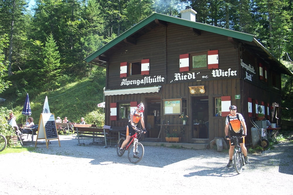
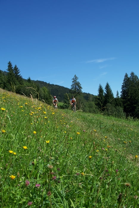
Sie führt Teilweise über Zufahrtsstraßen und Wald- oder Wanderwege. Nach dem Anstieg bis hinter die Riedelhütte, kommt eine Alm wo man ncht mehr fahren kann ! Hier muß leider ein kurzes Stück geschoben oder getragen werden (ca. 20 min), danach geht es auf Waldwegen weiter.
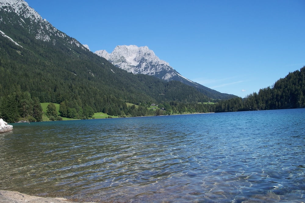
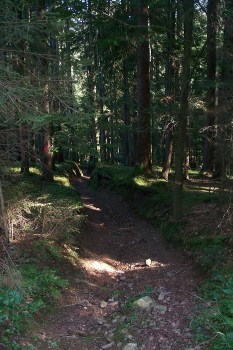
Wenn man den Hintersteinersee einmal umfährt, geht auf der einen Seite ein schöner Trail oberhalb des Ufers entlang. Danach weiter über Landwirtschaftliche Straßen, bis zur Abfahrt! Diese ist eingentlich kein richtiger Singeltrail, aber durch Forstmaschinen schwer zu fahren. Wenn man von einer Rinne in die nächste über gleitet hat man eine schöne 10 Minütige Abfahrt.
Auf dem Radweg geht es über Scheffau wieder zurück nach Ellmau.
Viel Spaß beim Nachfahren !
Tour gallery
Tour map and elevation profile
Minimum height 662 m
Maximum height 1267 m
More about the tour author
|
|
MarcusVergin |
Comments

GPS tracks
Trackpoints-
GPX / Garmin Map Source (gpx) download
-
TCX / Garmin Training Center® (tcx) download
-
CRS / Garmin Training Center® (crs) download
-
Google Earth (kml) download
-
G7ToWin (g7t) download
-
TTQV (trk) download
-
Overlay (ovl) download
-
Fugawi (txt) download
-
Kompass (DAV) Track (tk) download
-
Track data sheet (pdf) download
-
Original file of the author (gpx) download
More about the tour author
|
|
MarcusVergin |
Add to my favorites
Remove from my favorites
Edit tags
Open track
My score
Rate