


Date: September 10, 2009
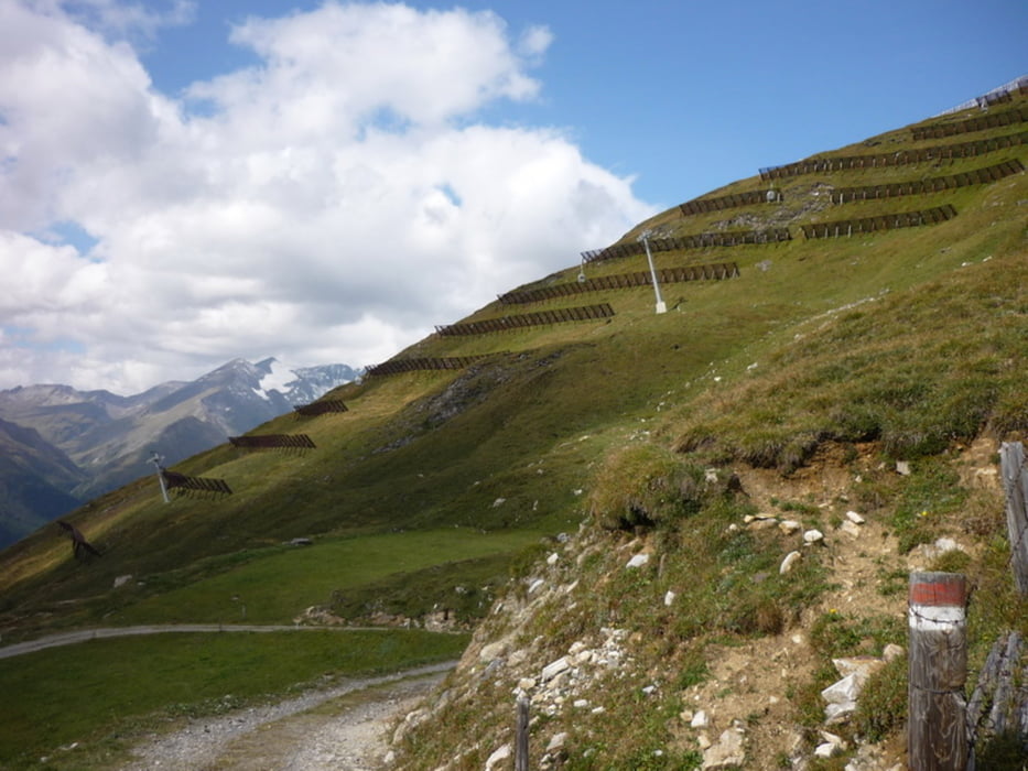
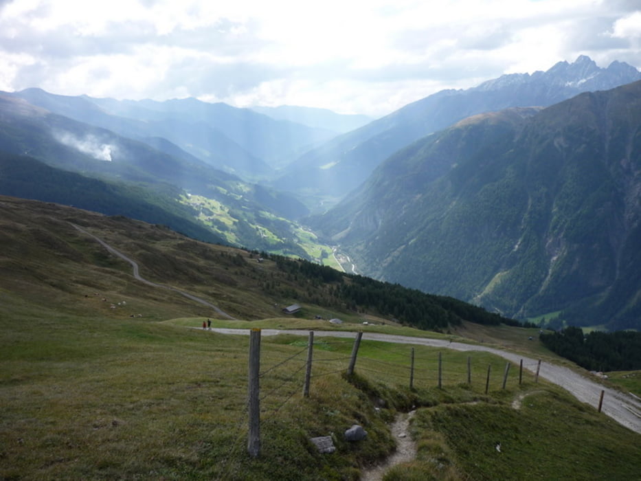
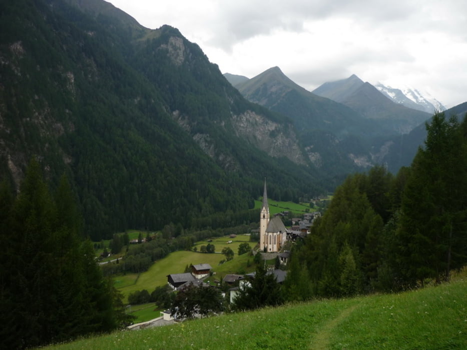
Go up to the top with the cable car from the Heiligenblut lower station.
There is a parking garage not far from the village-center (follow the bus parking sign).
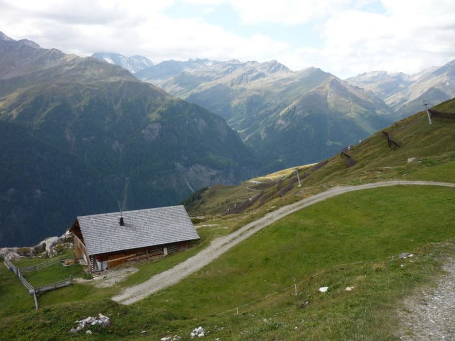
During the tour, the tourist path will cross the Grossglockner-Hochalpenstrasse with a nice restaurant there, try their milk :)
Further information at
http://www.beepee.hu/kepek/v/ausztrianemet0909/schareck0910/Tour gallery

Tour map and elevation profile
Minimum height 1305 m
Maximum height 2547 m
More about the tour author
|
|
beepee |
Comments

Go up to the top with the cable car from the Heiligenblut lower station.
There is a parking garage not far from the village-center (follow the bus parking sign).
During the tour, the tourist path will cross the Grossglockner-Hochalpenstrasse with a nice restaurant there, try their milk :)
GPS tracks
Trackpoints-
GPX / Garmin Map Source (gpx) download
-
TCX / Garmin Training Center® (tcx) download
-
CRS / Garmin Training Center® (crs) download
-
Google Earth (kml) download
-
G7ToWin (g7t) download
-
TTQV (trk) download
-
Overlay (ovl) download
-
Fugawi (txt) download
-
Kompass (DAV) Track (tk) download
-
Track data sheet (pdf) download
-
Original file of the author (gpx) download
More about the tour author
|
|
beepee |
Add to my favorites
Remove from my favorites
Edit tags
Open track
My score
Rate