Login

Forgot your login?

Cookies have to be accepted!
Your browser's cookie functionality is disabled. Please enable this functionality.

Not a member yet?

Register now
Login

Available for registred users only

Log in to use this feature.

Forgot your login?

Cookies have to be accepted!
Your browser's cookie functionality is disabled. Please enable this functionality.

Not a member yet?

Register now
Filter
Categories
Advanced filters
  • Distance (km)
  • Height
Save filters Reset filter

TrackRank

QRCode

Technical data

Distance15,1 km Height1350 m Way down1289 m Duration03:15 h:m Date14.03.2010
Scores Author User Landscape Fun factor Fitness Technique

Statistics

483 Views 1 Score 91 Downloads 4.00 Average
Rate
  • Track data sheet
  • Directions
  • Downloads

Aufstieg: 2 Stunden 30 Minuten

Abfahrt:45 Minuten

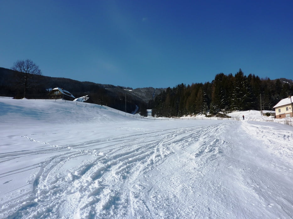
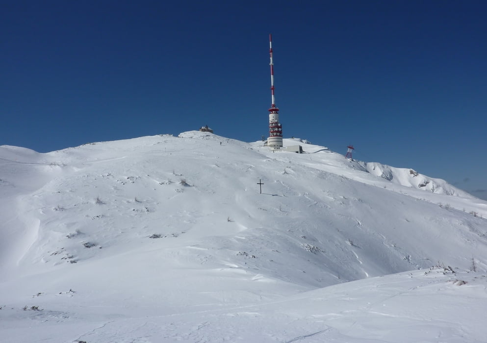
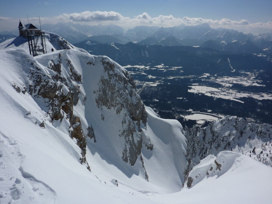
Die Skitour führt von Heiligengeist  über die aufgelassene Skipiste auf den Hausberg der Villacher.


Further information at

http://www.naturparkdobratsch.info/

Tour gallery

Tour map and elevation profile

  • Open Street Map
  • Google
Minimum height 896 m Maximum height 2164 m Detailed view

More about the tour author

harald07071
Member since 2008

Send private message

Comments

Von Villach nach Heiligengeist.

GPS tracks

Trackpoints
  • GPX / Garmin Map Source (gpx) download
  • TCX / Garmin Training Center® (tcx) download
  • CRS / Garmin Training Center® (crs) download
  • Google Earth (kml) download
  • G7ToWin (g7t) download
  • TTQV (trk) download
  • Overlay (ovl) download
  • Fugawi (txt) download
  • Kompass (DAV) Track (tk) download
  • Track data sheet (pdf) download
  • Original file of the author (gpx) download

More about the tour author

harald07071
Member since 2008

Send private message
Share track
Add to my favorites
Remove from my favorites
Edit tags
My score
Rate
Track: Dobratsch (2166m)
Type: Ski touring
Distance: 15,1 km
Evaluated on:
Duration:
Day(s)
Hour(s)
Minute(s)
Score: Landscape Fun factor Fitness Technique