


Ein schöner Skigipfel, der von zwei Seiten aus zu erreichen ist (Winnebachseehütte und Westfalenhaus).
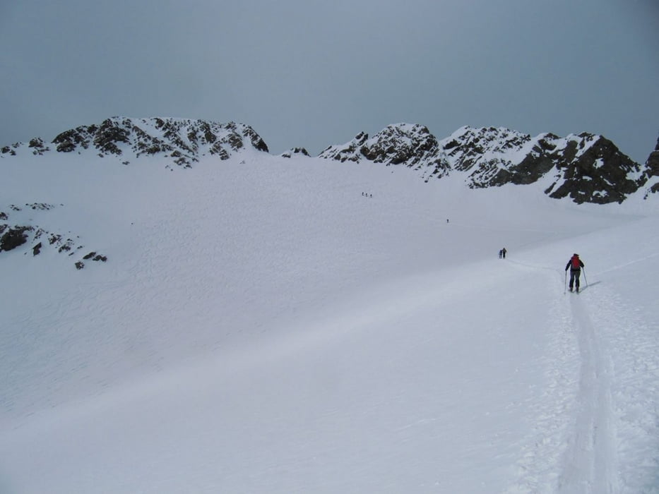
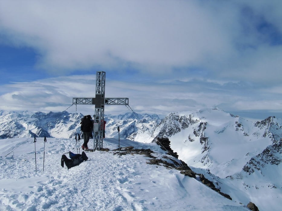
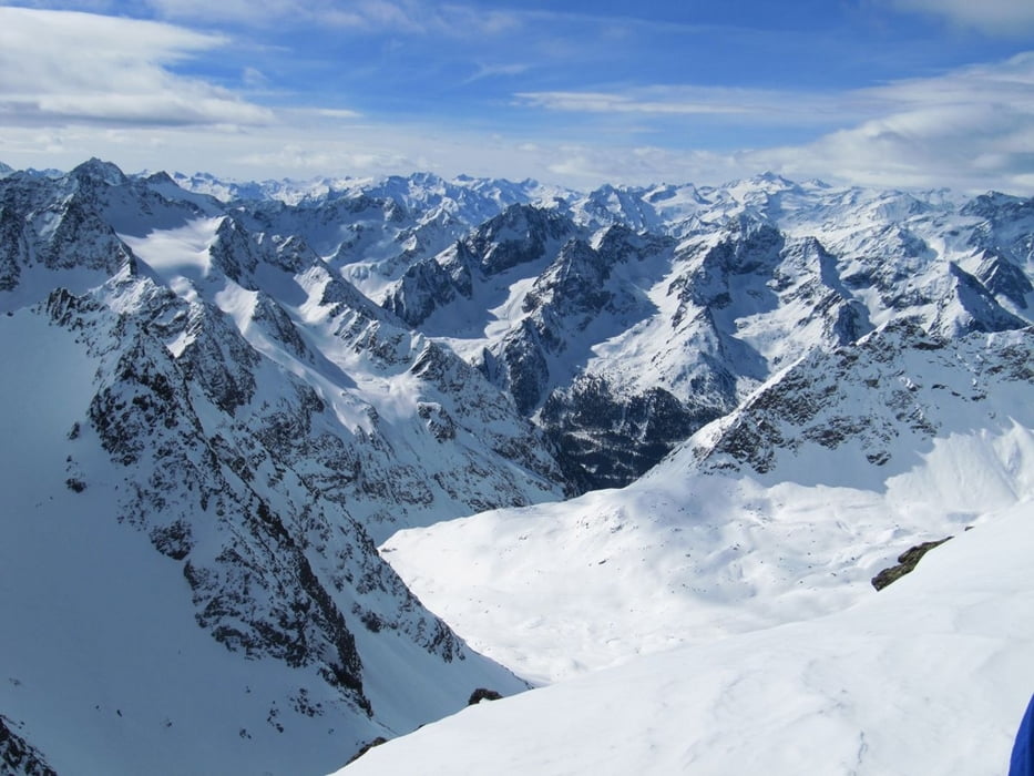
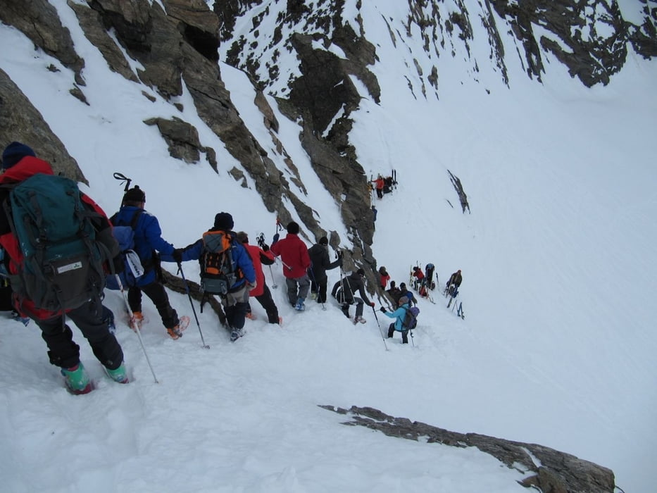
Von der Winnebachseehütte flach Richtung Norden, das Tal wendet sich dann nach rechts, in Richtung Osten. Man hält sich immer rechts und erreicht dann das Winnebachjoch, 2788 m. Die Trackaufzeichnung war wieder unterbrochen, deshalb wurde sie zwischen WP fehler1 und fehler2 gelöscht, man geht aber auf das Joch zu. Nun hält man sich links und kommt über eine Steilstufe (südseitig, evtl. hart, Harscheisen!) in das Becken unterhalb des Gipfels. Nun auf dem Weißkogelferner in einem Linksbogen zum Skidepot unterhalb des Gipfels (3160m) und zu Fuß die letzten Meter im Schnee zum Gipfel. Hier besonders gute Sicht bis zum Ausgangspunkt Winnebachseehütte und ins lange Zwieselbachtal (Guben-Schweinfurter-Hütte).
Die Abfahrt folgt der Aufstiegsspur.
Further information at
http://www.dav-hof.de/cms/huetten/winnebachseehuette.phpTour gallery
Tour map and elevation profile
Minimum height 2362 m
Maximum height 3157 m
More about the tour author
|
|
herzi |
Comments

Der Ausgangspunkt (Winnebachseehütte) ist zu erreichen über das Ötztal (Autobahnausfahrt von Innsbruck Richtung Arlberg), in Lägenfeld links ab nach Grieß und dort links ab Richtung PP (alles bestens ausgeschildert). Weiter siehe Winterzustieg Winnebachseehütte auf gps-tour.info
GPS tracks
Trackpoints-
GPX / Garmin Map Source (gpx) download
-
TCX / Garmin Training Center® (tcx) download
-
CRS / Garmin Training Center® (crs) download
-
Google Earth (kml) download
-
G7ToWin (g7t) download
-
TTQV (trk) download
-
Overlay (ovl) download
-
Fugawi (txt) download
-
Kompass (DAV) Track (tk) download
-
Track data sheet (pdf) download
-
Original file of the author (gpx) download
More about the tour author
|
|
herzi |
Add to my favorites
Remove from my favorites
Edit tags
Open track
My score
Rate