


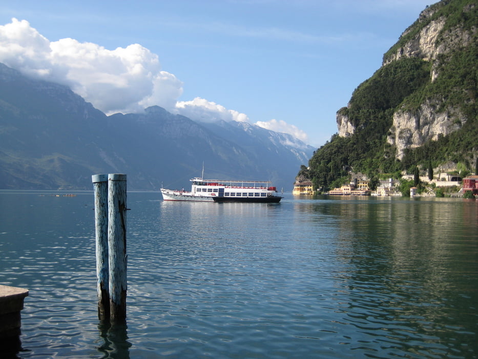
Klassische Gardaseetour mit knackiger Auffahrt über Pregasina und Passo Rocchetta zum Refugio am Passo Nota. Abfahrt dann sehr gelassen fast durchgängig auf Teer über Vesio nach Limone. Von dort dann mit dem Schiff zurück nach Riva.
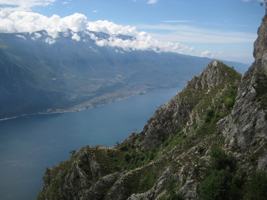
Von den Tiefblicken auf den Gardasee kaum zu übertreffende Tour. Anspruchsvolle Auffahrt mit sehr gelassener Abfahrt ist sicher eine spezielle Kombination.
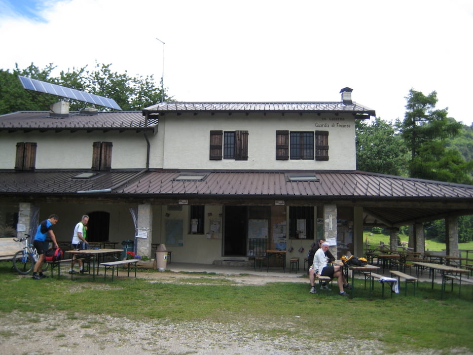
Start in Riva – Auffahrt über die alte Ponalestraße nach Pregasina – teilweise sehr steile Auffahrt zur Malga Palaer – Weiterfahrt zum Passo Rocchetta mit häufigen Schiebestücken – tollste Aussicht von dort – Weg zum Passo Nota überwiegend fahrbar auf Trail steil am Hang – nette Pausenmöglichkeit am Refugio Passo Nota mit belegter Semmel und Espresso aus dem Plastikbecher – Abfahrt auf kleinem Teersträßchen nach Vesio durch ein wunderschönes Tal – Weiterfahrt auf steiler Teerstraße nach Limone – Rückfahrt von Limone mit dem Schiff nach Riva oder alternativ nach Torbole (Rückfahrt auf dem Rad durch die Tunnels sollte man bleiben lassen).
Tour gallery
Tour map and elevation profile
Minimum height -29 m
Maximum height 1283 m
More about the tour author
|
|
leichergps |
Comments

GPS tracks
Trackpoints-
GPX / Garmin Map Source (gpx) download
-
TCX / Garmin Training Center® (tcx) download
-
CRS / Garmin Training Center® (crs) download
-
Google Earth (kml) download
-
G7ToWin (g7t) download
-
TTQV (trk) download
-
Overlay (ovl) download
-
Fugawi (txt) download
-
Kompass (DAV) Track (tk) download
-
Track data sheet (pdf) download
-
Original file of the author (gpx) download
More about the tour author
|
|
leichergps |
Add to my favorites
Remove from my favorites
Edit tags
Open track
My score
Rate