


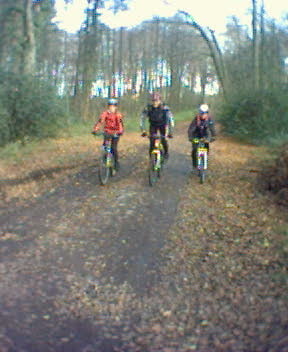
Zu Viert starten wir in MH Selbeck auf der Wedauer Str. und radeln in Richtung Breitscheid. Weiter in Richtung Hösel zum Angerbachtal (diesmal über andere Wege). Den Ziehberg hoch zum Golfplatz Hösel. Von dort über den Bahndamm in Richtung Jagdhütte. Über einen Reiterhof wieder rauf nach Isenbügel und runter zum Chinesen im Tal. Nochmal rauf, runter und wieder rauf über die Felder in Richtung Selbeck.
Tour gallery
Tour map and elevation profile
Minimum height 62 m
Maximum height 190 m
More about the tour author

|
Slayer |
Comments
Entweder startet man in MH Selbeck auf der Wedauer Str., an der Kirche, oder aber am Cafe Hösel, alternativ geht auch das Restaurant Jadghütte (zwischen Kettwig und Heiligenhaus)
GPS tracks
Trackpoints-
GPX / Garmin Map Source (gpx) download
-
TCX / Garmin Training Center® (tcx) download
-
CRS / Garmin Training Center® (crs) download
-
Google Earth (kml) download
-
G7ToWin (g7t) download
-
TTQV (trk) download
-
Overlay (ovl) download
-
Fugawi (txt) download
-
Kompass (DAV) Track (tk) download
-
Track data sheet (pdf) download
-
Original file of the author (gpx) download
More about the tour author
|
|
Slayer |
Add to my favorites
Remove from my favorites
Edit tags
Open track
My score
Rate
Tour