Login

Forgot your login?

Cookies have to be accepted!
Your browser's cookie functionality is disabled. Please enable this functionality.

Not a member yet?

Register now
Login

Available for registred users only

Log in to use this feature.

Forgot your login?

Cookies have to be accepted!
Your browser's cookie functionality is disabled. Please enable this functionality.

Not a member yet?

Register now
Filter
Categories
Advanced filters
  • Distance (km)
  • Height
Save filters Reset filter

TrackRank

QRCode

Technical data

Distance29,6 km Height661 m Way down663 m Duration02:34 h:m Date19.07.2010
Scores Author Landscape Fun factor Fitness Technique

Statistics

1164 Views Scores 186 Downloads Average
Rate
  • Track data sheet
  • Directions
  • Downloads

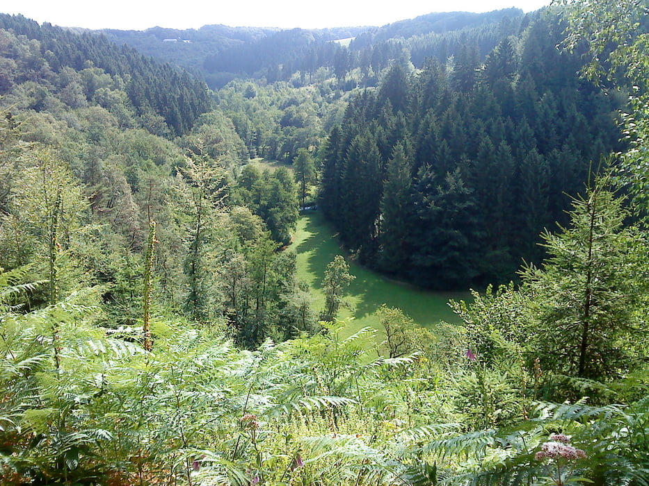
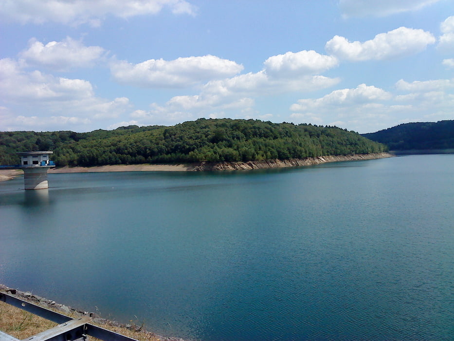
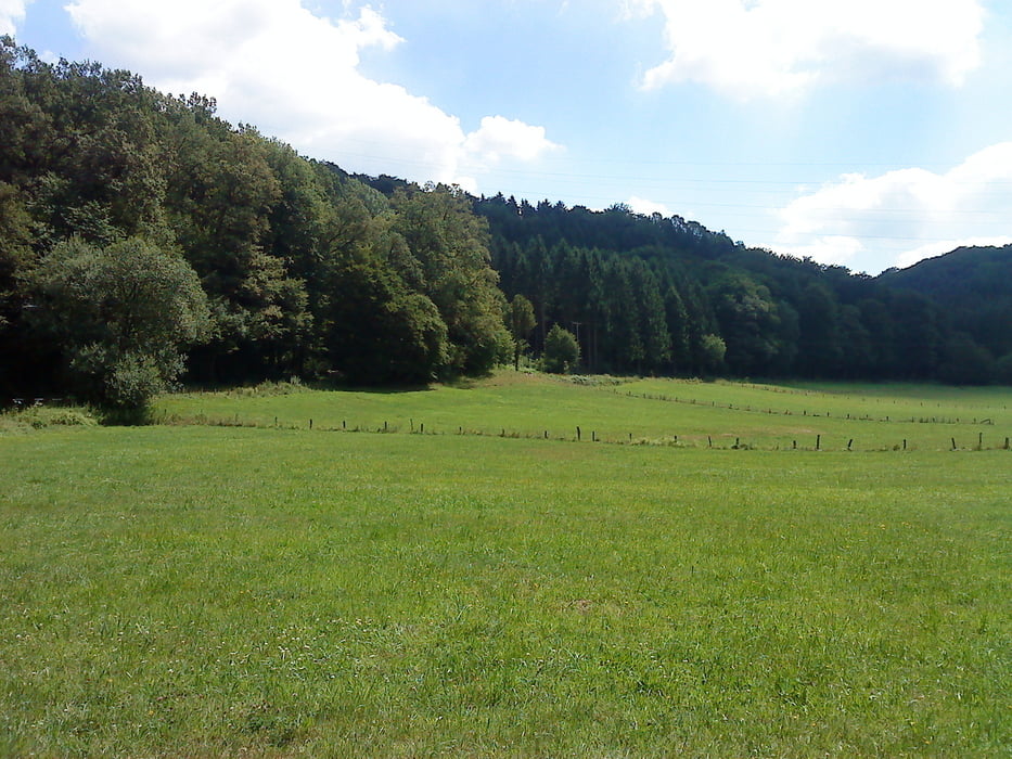
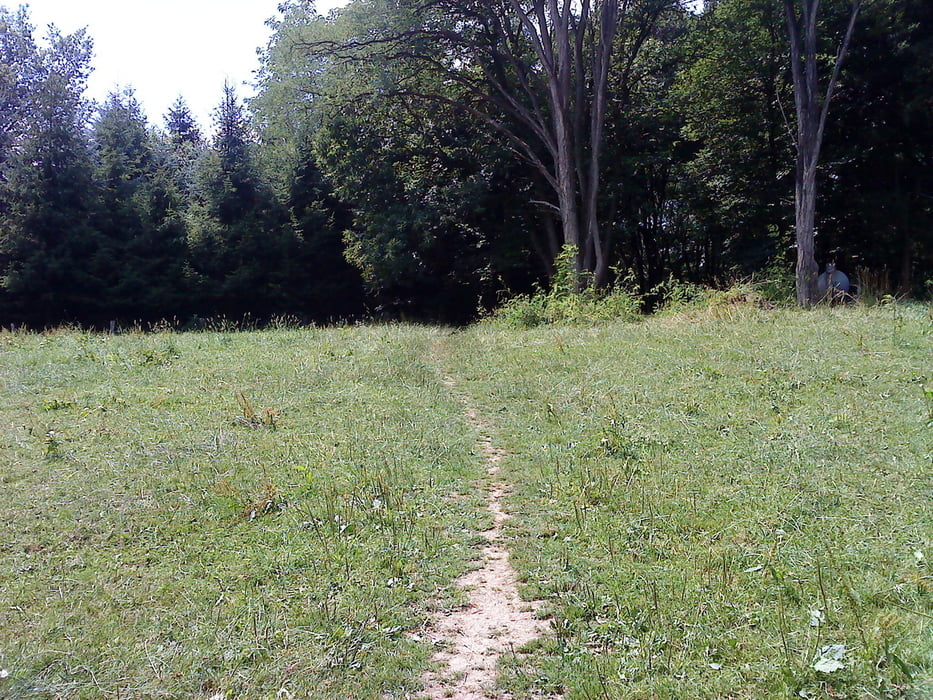
Es handelt sich um  die Tour #34473: Burscheid. Dhünntalsperre, Großeledder die ich am 18.07.10 nachgefahren   und werde diese auch noch mal fahren.


Tour gallery

Tour map and elevation profile

  • Open Street Map
  • Google
Minimum height 105 m Maximum height 291 m Detailed view

More about the tour author

Wollibalou
Member since 2009

Send private message

Comments

Start und Zielpunkt ist der Parkplatz Kämpchen an de B51 nähe der Autobahn Ausfahrt Burscheid an der A1 .


GPS tracks

Trackpoints
  • GPX / Garmin Map Source (gpx) download
  • TCX / Garmin Training Center® (tcx) download
  • CRS / Garmin Training Center® (crs) download
  • Google Earth (kml) download
  • G7ToWin (g7t) download
  • TTQV (trk) download
  • Overlay (ovl) download
  • Fugawi (txt) download
  • Kompass (DAV) Track (tk) download
  • Track data sheet (pdf) download
  • Original file of the author (gpx) download

More about the tour author

Wollibalou
Member since 2009

Send private message
Share track
Add to my favorites
Remove from my favorites
Edit tags
My score
Rate
Track: Burscheid. Dhünntalsperre, Großeledder
Type: Mountain bike
Distance: 29,6 km
Evaluated on:
Duration:
Day(s)
Hour(s)
Minute(s)
Score: Landscape Fun factor Fitness Technique