Login

Forgot your login?

Cookies have to be accepted!
Your browser's cookie functionality is disabled. Please enable this functionality.

Not a member yet?

Register now
Login

Available for registred users only

Log in to use this feature.

Forgot your login?

Cookies have to be accepted!
Your browser's cookie functionality is disabled. Please enable this functionality.

Not a member yet?

Register now
Filter
Categories
Advanced filters
  • Distance (km)
  • Height
Save filters Reset filter

TrackRank

QRCode

Technical data

Distance10,9 km Height848 m Way down808 m Duration03:45 h:m Date05.08.2010
Scores Author Landscape Fun factor Fitness Technique

Statistics

1925 Views Scores 133 Downloads Average
Rate
  • Track data sheet
  • Directions
  • Downloads

Aufstieg: 2Stunden 25 Minuten
Abstieg: 1 Stunde 20 Minuten
Zustieg:
Vom Parkplatz folgt man dem Forstweg links zu einer Brücke, dann weiter in südlicher Richtung bis zu dem Weg , der zum Posporcorapass abzweigt (408). Dem Weg bis zum Pass folgen, dann rechts abbiegen. Über einen sehr steilen Steig durch eine Latschenzone aufwärts, bis man zum Einstieg nach einer Höhle kommt.
Abstieg:
Vom Gipfel den markierten Weg (447) in nördlicher Richtung folgen.
Vorbei an alten Stellungen bis man wieder zum Forstweg kommt.
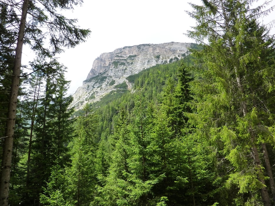
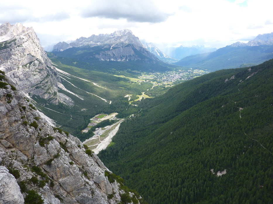
 

Tour gallery

Tour map and elevation profile

  • Open Street Map
  • Google
Minimum height 1307 m Maximum height 2160 m Detailed view

More about the tour author

harald07071
Member since 2008

Send private message

Comments

Von Cortina fährt man in Richtung Norden auf der Straße Podestagno/Toblach bis nach dem alten Flugplatz links eine Staße abzweigt.

GPS tracks

Trackpoints
  • GPX / Garmin Map Source (gpx) download
  • TCX / Garmin Training Center® (tcx) download
  • CRS / Garmin Training Center® (crs) download
  • Google Earth (kml) download
  • G7ToWin (g7t) download
  • TTQV (trk) download
  • Overlay (ovl) download
  • Fugawi (txt) download
  • Kompass (DAV) Track (tk) download
  • Track data sheet (pdf) download
  • Original file of the author (gpx) download

More about the tour author

harald07071
Member since 2008

Send private message
Share track
Add to my favorites
Remove from my favorites
Edit tags
My score
Rate
Track: Col Rosa (2166m)
Type: Via ferrata
Distance: 10,9 km
Evaluated on:
Duration:
Day(s)
Hour(s)
Minute(s)
Score: Landscape Fun factor Fitness Technique