

Date: July 27, 2010
Start: 1075 m (Riesachfall parking area)
Finish: 1075 m (Riesachfall parking area)
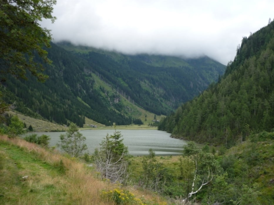
Highest point: 1343 m (Riesachsee)
Lowest point: 1075 m
Total ascent: 268 m
Total descent: 268 m
Information about the 'Wild Water' hikint trailr:
http://www.schladming-dachstein.at/en/region/schladming-rohrmoos/summer/hiking/wild_water.htm
GPX file is modified, because GPS reception at the waterfalls was extremely bad.
Further information at
http://www.beepee.hu/v/ausztria2010/dachstein/riesachfall/Tour gallery
Tour map and elevation profile
Minimum height 1075 m
Maximum height 1371 m
More about the tour author
|
|
beepee |
Comments

From Schladming, follow signs towards Untertal.
After a while, you will reach a toll booth. Ticket is free if you have a 'Sommercard' (you will automatically receive it from participating accomodations - http://www.sommercard.info).
Drive all the way to the end of the paved road, park at the 'Riesachfalle' parking area.
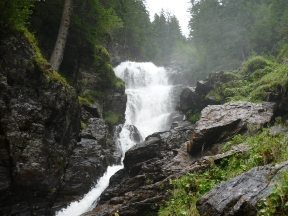
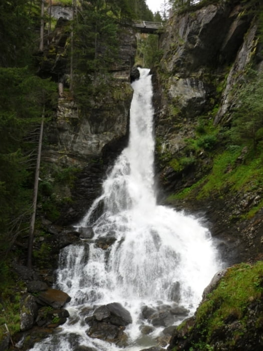
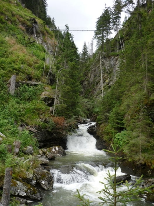
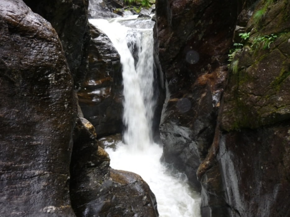
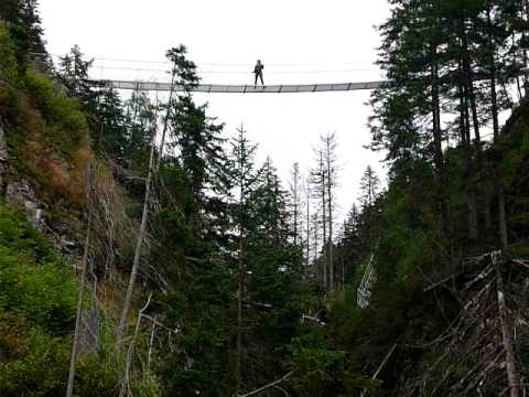
Walk up to Rieasachsee on 'Alpinsteig' - lots of stairs but also lots of great waterfalls and views. On the way back, take the wide trail through the forest.
GPS tracks
Trackpoints-
GPX / Garmin Map Source (gpx) download
-
TCX / Garmin Training Center® (tcx) download
-
CRS / Garmin Training Center® (crs) download
-
Google Earth (kml) download
-
G7ToWin (g7t) download
-
TTQV (trk) download
-
Overlay (ovl) download
-
Fugawi (txt) download
-
Kompass (DAV) Track (tk) download
-
Track data sheet (pdf) download
-
Original file of the author (gpx) download
More about the tour author
|
|
beepee |
Add to my favorites
Remove from my favorites
Edit tags
Open track
My score
Rate