


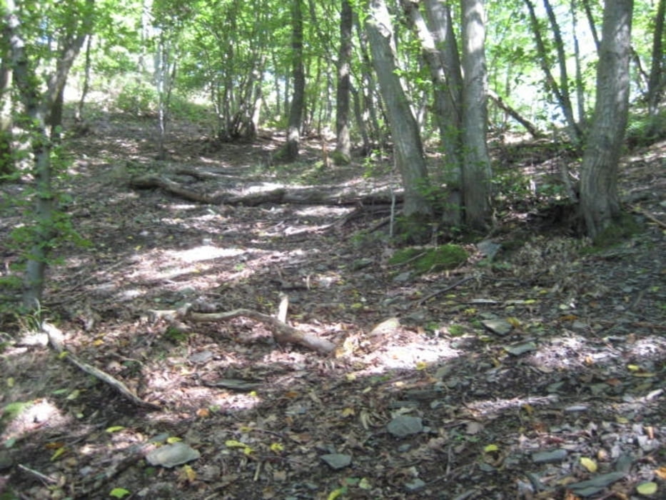
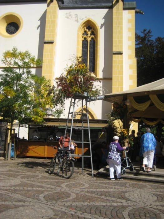
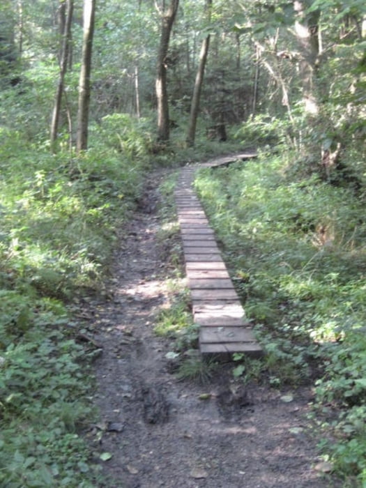
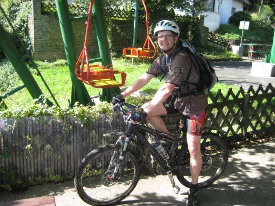
Von Rheinbach ging es über Hilberath in Richtung Kreuzberg durch den Matsch. Kurz vor Kreuzberg links in Richtung Altenahr/ Gondelstation. Da der Rad/Wanderweg nach Ahrweiler sehr befahren war dachte ich mir noch mal einen abstecher auf die andere Seite in den Berg zu machen. In Ahrweiler angekommen gönnte ich mir eine Weinschorle. Als Drecksspatz gings dann über den Alpenwegshof zurück in Richtung Todenfeld Heimwerts. Es war, bei der Hitze, von meiner Kondition grenzwertig. Zwischendurch hab ich mich ein wenig im Wald verirrt ;-)))
Tour gallery
Tour map and elevation profile
Minimum height 5 m
Maximum height 375 m
More about the tour author
|
|
gaudirausch |
Comments

Start in Rheinbach
GPS tracks
Trackpoints-
GPX / Garmin Map Source (gpx) download
-
TCX / Garmin Training Center® (tcx) download
-
CRS / Garmin Training Center® (crs) download
-
Google Earth (kml) download
-
G7ToWin (g7t) download
-
TTQV (trk) download
-
Overlay (ovl) download
-
Fugawi (txt) download
-
Kompass (DAV) Track (tk) download
-
Track data sheet (pdf) download
-
Original file of the author (gpx) download
More about the tour author
|
|
gaudirausch |
Add to my favorites
Remove from my favorites
Edit tags
Open track
My score
Rate