


Start ist bei einem Parkplatz in der Nähe der Skiflugschanze. Es geht vorbei an der Skiflugschanze, dann steil hoch zum Schlappolthöfle. Nun nicht rechts zur Fellhorn-Mittelstation, sondern links über das Kanzelwandhaus und Bierenwangalpe zur Kanzelwandbahn Bergstation. Die Abfahrt von der Fellhornbahn Mittelstation zur Ob. Bierenwangalpe ist für Mountainbiker gesperrt. Von der Bergstation Kanzelwand nicht ganz hinunter nach Ritzlern, sondern bei Höhe 1200 nach rechts den schmalen Ritzler Höhenweg (Fußgänger !!!) über Bergstüble, Mittelalpe und dem Oberallgäuer Rundwanderweg zum Berggasthaus Schönblick. Anschließend nochmal ein kurzer Anstieg zum Sattelkopf und dann Abfahrt zum Ausgangspunkt.
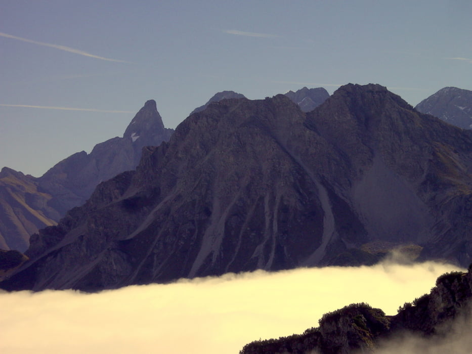
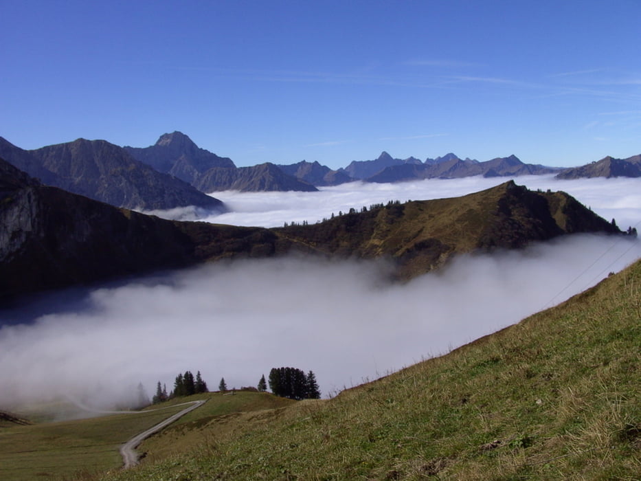
Tour gallery
Tour map and elevation profile
Minimum height 854 m
Maximum height 1929 m
More about the tour author
|
|
yr1willi |
Comments

Über Kempten - Immenstadt nach Oberstdorf Richtung Fellhornbahn.
GPS tracks
Trackpoints-
GPX / Garmin Map Source (gpx) download
-
TCX / Garmin Training Center® (tcx) download
-
CRS / Garmin Training Center® (crs) download
-
Google Earth (kml) download
-
G7ToWin (g7t) download
-
TTQV (trk) download
-
Overlay (ovl) download
-
Fugawi (txt) download
-
Kompass (DAV) Track (tk) download
-
Track data sheet (pdf) download
-
Original file of the author (gpx) download
More about the tour author
|
|
yr1willi |
Add to my favorites
Remove from my favorites
Edit tags
Open track
My score
Rate