


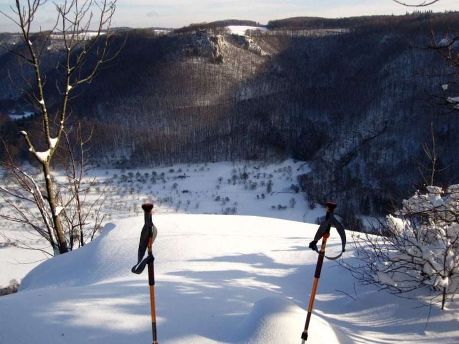
Die Pfanne ist eine Grillstelle mit Tal drumrum, umrahmt von Reussenstein, Neidlinger Wasserfall, Bahnhöfle und Heimenstein.
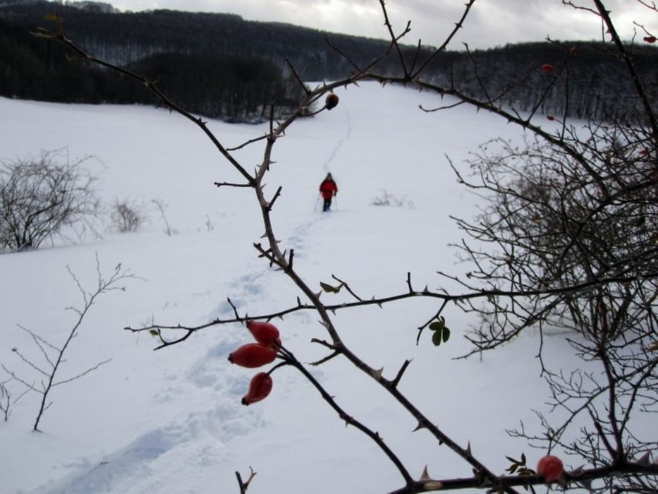
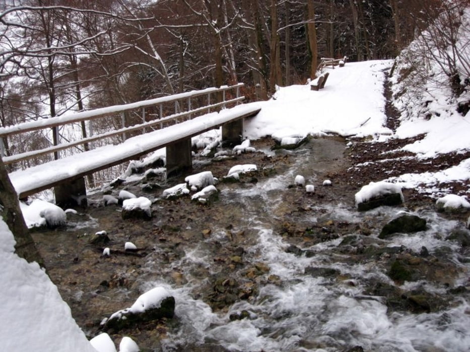
Diese Schneewanderung führt vom Parkplatz am Bahnhöfle, bei N48 33.153 E9 33.542, am Albtrauf entlang zum Heimenstein. Weiter über eine sehr große Wiese zur Burg Randeck. Von dort geht es durch Heidelandschaft, vorbei an Höllenlöchern hinunter ins Tal, in die Pfanne. Das Tal wird entlang der in Mengen vorhandenen Weidezäune durchquert, und über einen schmalen Wanderweg erreichen wir die Burg Reussenstein, die uns während der ganzen Wanderung begleitet. Ein paar Höhenmeter weiter unten rauscht der Neidlinger Wasserfall, den wir auch noch kurz besuchen, bevor wir wieder am Bahnhöfle sind.
Links:
Pfanne: http://www.neidlingen.de/portal/index.php?page=326
Reussenstein: http://www.reussenstein.de/
Heimenstein: http://de.wikipedia.org/wiki/Ruine_Heimenstein
Burg Randeck: http://de.wikipedia.org/wiki/Burg_Randeck_%28Landkreis_Esslingen%29
Further information at
http://www.neidlingen.de/portal/index.php?page=326Tour gallery
Tour map and elevation profile
Minimum height 466 m
Maximum height 805 m
More about the tour author
|
|
piggeldy |
Comments

Parkplatz am Bahnhöfle bei N48 33.153 E9 33.542
GPS tracks
Trackpoints-
GPX / Garmin Map Source (gpx) download
-
TCX / Garmin Training Center® (tcx) download
-
CRS / Garmin Training Center® (crs) download
-
Google Earth (kml) download
-
G7ToWin (g7t) download
-
TTQV (trk) download
-
Overlay (ovl) download
-
Fugawi (txt) download
-
Kompass (DAV) Track (tk) download
-
Track data sheet (pdf) download
-
Original file of the author (gpx) download
More about the tour author
|
|
piggeldy |
Add to my favorites
Remove from my favorites
Edit tags
Open track
My score
Rate