


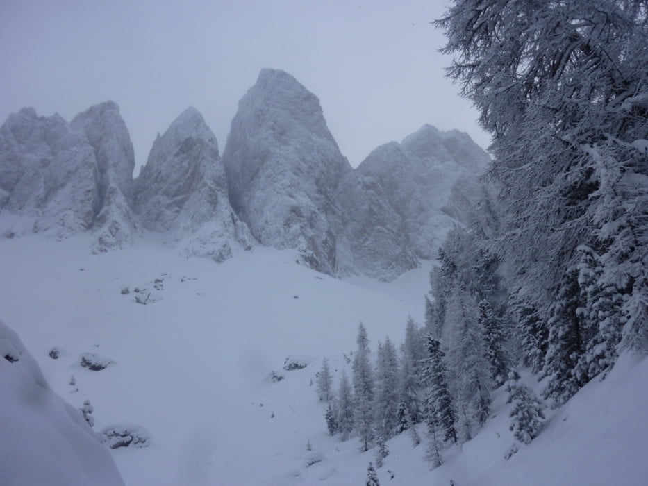
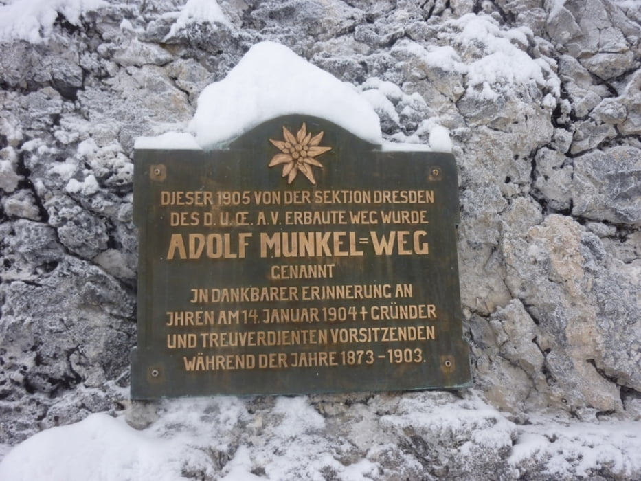
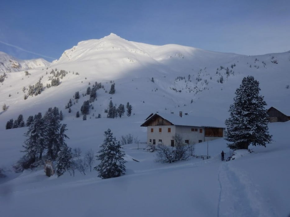
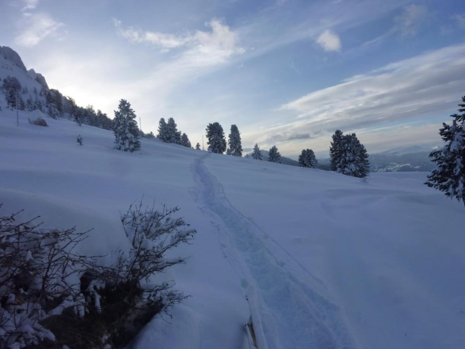
Wir starten in Ranui am Ende des Villnössertales. Parkplatz gegen Bezahlung. Anfangs auf Weg Nr. 28 zur Geisleralm http://www.geisleralm.com/# bis hierher auf meist präparierter Rodelpiste - ca. 2 St. Hier links zum Adolf Munkel Weg, den wir bis ans Ende folgen. Bei der nächsten Kreuzung kann man entscheiden ob man noch zur Gampenalm www.gampenalm.com/ weitergeht oder ob man hier über Zans nach Ranui zurückkehrt. Wir gehen weiter bis zur Gampenalm und leihen uns dort eine Rodel aus (3 €) und so haben wir bis zum Auto noch ca. 8 Km tolle Rodelabfahrt vor uns.
Tour gallery
Tour map and elevation profile
Minimum height 1338 m
Maximum height 2002 m
More about the tour author
|
|
Califan |
Comments

Autobahnausfahrt Klausen - Villnöss - St. Magdalena - nach dem Skilift vor der Brücke rechts. Bis hierher auch mit dem Linienbus. www.sad.it/intro.php
GPS tracks
Trackpoints-
GPX / Garmin Map Source (gpx) download
-
TCX / Garmin Training Center® (tcx) download
-
CRS / Garmin Training Center® (crs) download
-
Google Earth (kml) download
-
G7ToWin (g7t) download
-
TTQV (trk) download
-
Overlay (ovl) download
-
Fugawi (txt) download
-
Kompass (DAV) Track (tk) download
-
Track data sheet (pdf) download
-
Original file of the author (gpx) download
More about the tour author
|
|
Califan |
Add to my favorites
Remove from my favorites
Edit tags
Open track
My score
Rate