Login

Forgot your login?

Cookies have to be accepted!
Your browser's cookie functionality is disabled. Please enable this functionality.

Not a member yet?

Register now
Login

Available for registred users only

Log in to use this feature.

Forgot your login?

Cookies have to be accepted!
Your browser's cookie functionality is disabled. Please enable this functionality.

Not a member yet?

Register now
Filter
Categories
Advanced filters
  • Distance (km)
  • Height
Save filters Reset filter

TrackRank

QRCode

Technical data

Distance13,2 km Height1152 m Way down1081 m Duration04:00 h:m Date29.12.2010
Scores Author Landscape Fun factor Fitness Technique

Statistics

1131 Views Scores 98 Downloads Average
Rate
  • Track data sheet
  • Directions
  • Downloads

Aufstieg: 3 Stunden

Abfahrt: 1 Stunde

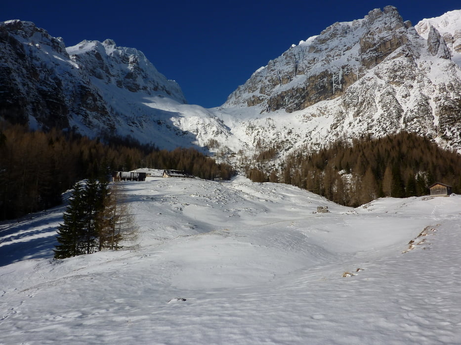
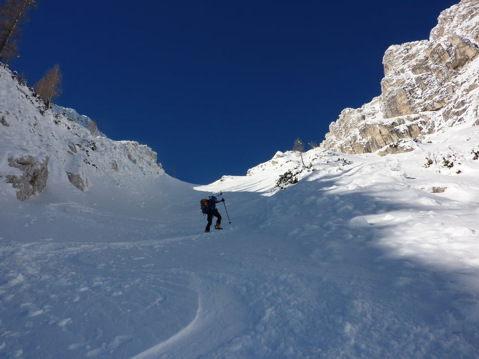
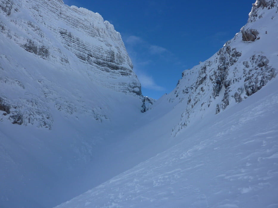
Entlang eines Forstweges erreicht man in rund 1500m freies Gelände. Hier tut sich das weite Kar unterhalb der Bärenlahnscharte auf. Vorbei an der Casera Grantagar (1530m) gelangt  man zu einer markanten Geländestufe. Von dieser geht es den Kessel nach Westen querend in wenigen Minuten zur Bärenlahnscharte.


Die Abfahrt erfolgt über die Aufstiegsroute.


Tour gallery

Tour map and elevation profile

  • Open Street Map
  • Google
Minimum height 983 m Maximum height 2059 m Detailed view

More about the tour author

harald07071
Member since 2008

Send private message

Comments

Von Tarvis mit dem Auto Richtung Sella Nevea bis man wenige Meter vor der Gemeindegrenze (Tarvis- Chiusaforte) zu einem kleinen Parkplatz (rechter Hand) kommt.

GPS tracks

Trackpoints
  • GPX / Garmin Map Source (gpx) download
  • TCX / Garmin Training Center® (tcx) download
  • CRS / Garmin Training Center® (crs) download
  • Google Earth (kml) download
  • G7ToWin (g7t) download
  • TTQV (trk) download
  • Overlay (ovl) download
  • Fugawi (txt) download
  • Kompass (DAV) Track (tk) download
  • Track data sheet (pdf) download
  • Original file of the author (gpx) download

More about the tour author

harald07071
Member since 2008

Send private message
Share track
Add to my favorites
Remove from my favorites
Edit tags
My score
Rate
Track: Bärenlahnscharte / Forcella Lavinal dell'Orso dalla Spragna (2138m)
Type: Ski touring
Distance: 13,2 km
Evaluated on:
Duration:
Day(s)
Hour(s)
Minute(s)
Score: Landscape Fun factor Fitness Technique