

Aufstieg: 2Std. 15min.
Abfahrt: 40min.
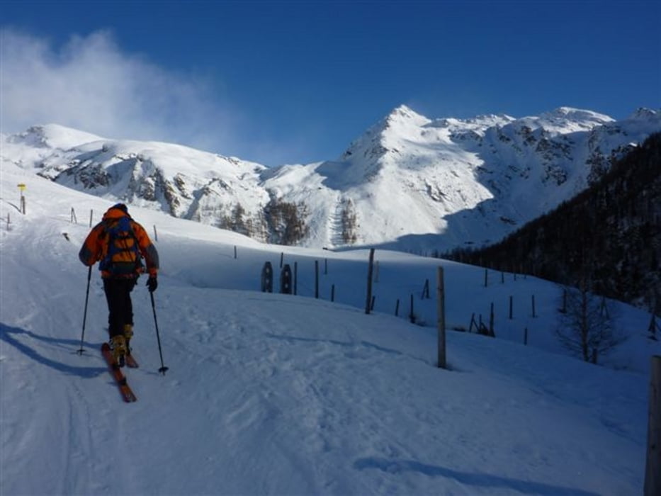
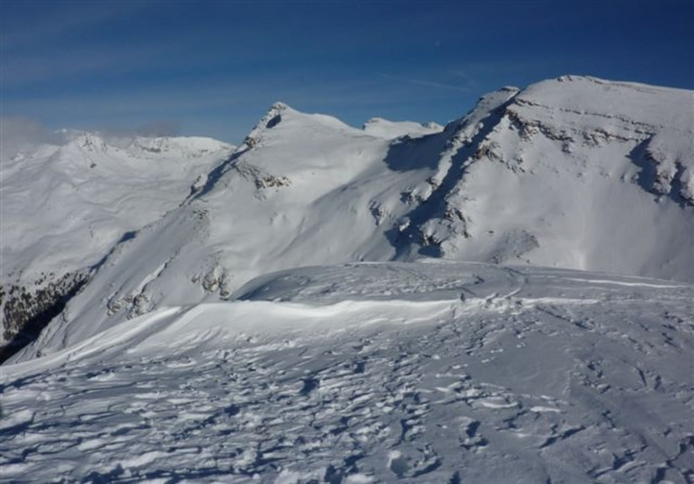
Vom Sadnighaus über den Almweg in nördöstlicher Richtung. bis zur Inneren Blaslalm.
Hier verläßt man den Almweg und steigt über die Astner Böden in nördl. Richtung weiter auf.
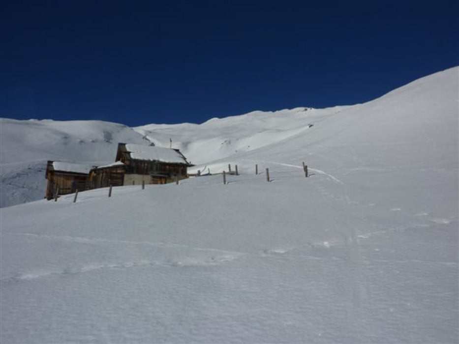
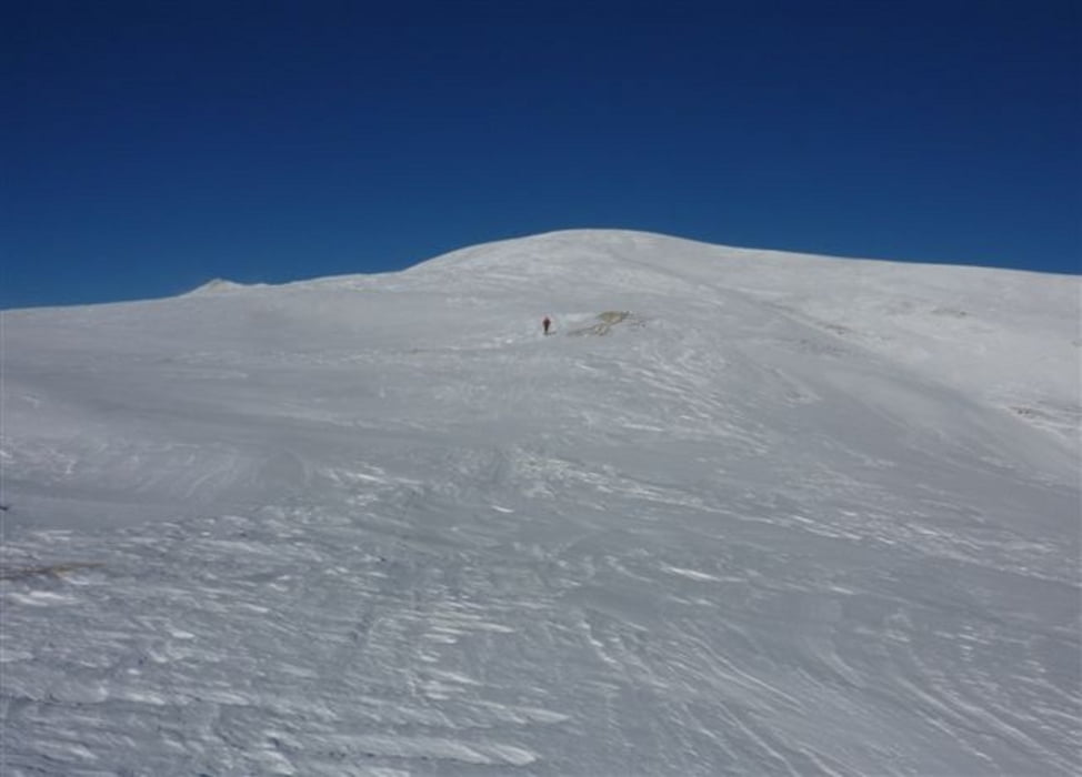
Nach der letzten Almhütte folgt ein kurzes Flachstück und anschließend nimmt die Steilheit wieder etwas zu. Eine Bergkuppe wird rechts umgangen und über den Südrücken der südöstlich vorgelagerte Wintergipfel erreicht.
Abfahrt wie Aufstieg
Further information at
http://www.hohetauern.at/Tour gallery
Tour map and elevation profile
Minimum height 1766 m
Maximum height 2679 m
More about the tour author
|
|
harald07071 |
Comments

Von Mörtschach im Mölltal entlang der 10km langen, in der Regel gut geräumte Straße ins Astental bis zum Parkplatz am ende der Straße.
(Schneeketten nicht vergessen)
GPS tracks
Trackpoints-
GPX / Garmin Map Source (gpx) download
-
TCX / Garmin Training Center® (tcx) download
-
CRS / Garmin Training Center® (crs) download
-
Google Earth (kml) download
-
G7ToWin (g7t) download
-
TTQV (trk) download
-
Overlay (ovl) download
-
Fugawi (txt) download
-
Kompass (DAV) Track (tk) download
-
Track data sheet (pdf) download
-
Original file of the author (gpx) download
More about the tour author
|
|
harald07071 |
Add to my favorites
Remove from my favorites
Edit tags
Open track
My score
Rate