


Wir laufen vom Parkplatz in St. Magdalena aus unsere Runden
auf der Talschluß Loipe.
Anschließend fahren wir auf der Loipe nach St. Martin ab.
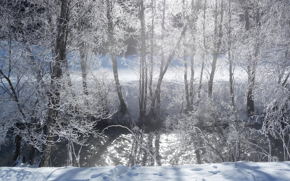
Die Loipe führt weiter, am Bach entlang Richtung Durnwald.
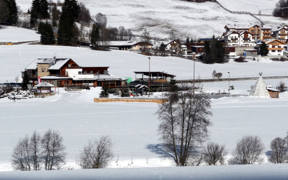
Nach einer Rast im binta pub geht es wieder zurück zum
Ausgangspunkt.
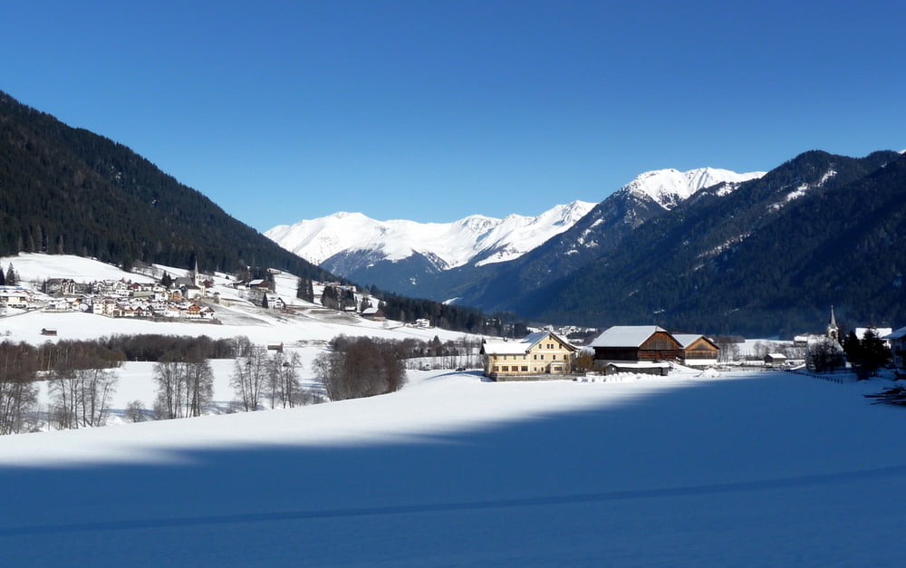
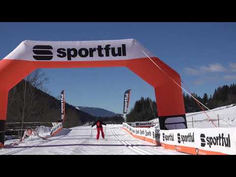
Beim Laufen auf der lang gestreckten Gsiesertal Loipe kann man,
wenn man nicht sportlich unterwegs ist, wunderbar entspannen.
Der Anstieg von St. Martin nach St. Magdalena fordert die eigene
Kondition so richtig heraus. Aber die Aussicht, oben angekommen,
in´s Gsiesertal und die Dolomiten im Hintergrund entschädigen für alles.
Wir kommen jedes Jahr wieder...
Further information at
http://www.gsieser-tal.com/de/tourismusverein/urlaubsthemen/langlaufen.htmlTour gallery
Tour map and elevation profile
Minimum height 1202 m
Maximum height 1489 m
More about the tour author
|
|
Schroettner |
Comments

Parkplätze gibt es in jeden Ort, besonders in St. Martin und St. Magdalena.
Auch entlag des Tales gibt es Möglichkeiten zu parken.
Die Loipen Gebühr zahlen wir für die sehr gut präparierten Loipen gerne.
GPS tracks
Trackpoints-
GPX / Garmin Map Source (gpx) download
-
TCX / Garmin Training Center® (tcx) download
-
CRS / Garmin Training Center® (crs) download
-
Google Earth (kml) download
-
G7ToWin (g7t) download
-
TTQV (trk) download
-
Overlay (ovl) download
-
Fugawi (txt) download
-
Kompass (DAV) Track (tk) download
-
Track data sheet (pdf) download
-
Original file of the author (gpx) download
More about the tour author
|
|
Schroettner |
Add to my favorites
Remove from my favorites
Edit tags
Open track
My score
Rate