Login

Forgot your login?

Cookies have to be accepted!
Your browser's cookie functionality is disabled. Please enable this functionality.

Not a member yet?

Register now
Login

Available for registred users only

Log in to use this feature.

Forgot your login?

Cookies have to be accepted!
Your browser's cookie functionality is disabled. Please enable this functionality.

Not a member yet?

Register now
Filter
Categories
Advanced filters
  • Distance (km)
  • Height
Save filters Reset filter

TrackRank

QRCode

Technical data

Distance59,1 km Height1030 m Way down1023 m Duration03:33 h:m Date19.05.2011
Scores Author Landscape Fun factor Fitness Technique

Statistics

154 Views Scores 9 Downloads Average
Rate
  • Track data sheet
  • Directions
  • Downloads

19.5.2011

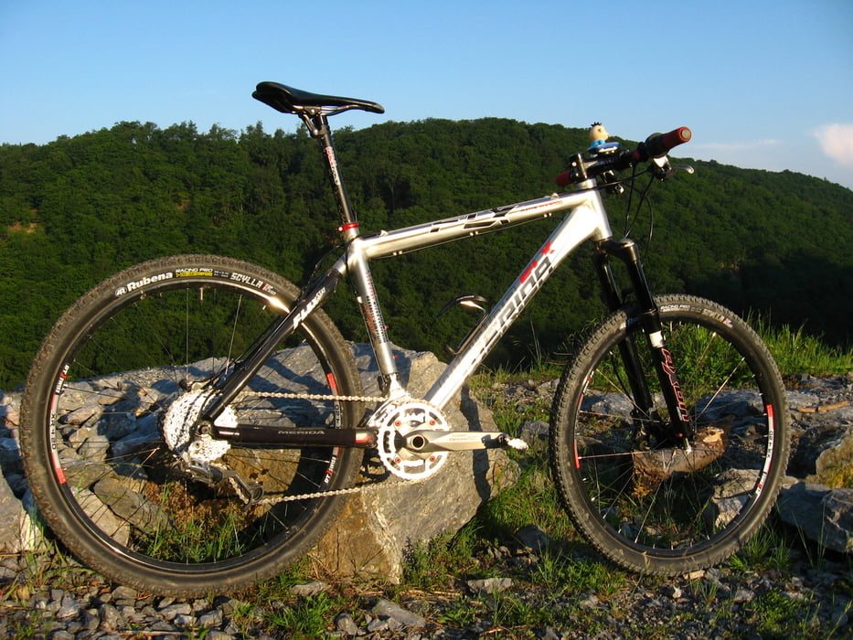
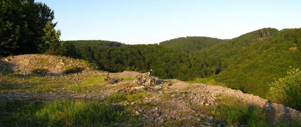
Pohodový výjazd s Milanom a Vladom. Konečne som sa dostal nad kameňolom v Medených Hámroch. Aj muflóny sme tam vyplašili. Jedinou temnou stránkou bolo, že ma cestou späť začalo bolieť brucho, tak som radšej ťahal po asfalte...

Tour gallery

Tour map and elevation profile

  • Open Street Map
  • Google
Minimum height 117 m Maximum height 502 m Detailed view

More about the tour author

tmax
Member since 2007

Send private message

Comments

BA-Dlhé Diely

GPS tracks

Trackpoints
  • GPX / Garmin Map Source (gpx) download
  • TCX / Garmin Training Center® (tcx) download
  • CRS / Garmin Training Center® (crs) download
  • Google Earth (kml) download
  • G7ToWin (g7t) download
  • TTQV (trk) download
  • Overlay (ovl) download
  • Fugawi (txt) download
  • Kompass (DAV) Track (tk) download
  • Track data sheet (pdf) download
  • Original file of the author (gpx) download

More about the tour author

tmax
Member since 2007

Send private message
Share track
Add to my favorites
Remove from my favorites
Edit tags
My score
Rate
Track: 20110519_Stupava, popod Pajštún a nad kameňolom v Medených Hámroch
Type: Mountain bike
Distance: 59,1 km
Evaluated on:
Duration:
Day(s)
Hour(s)
Minute(s)
Score: Landscape Fun factor Fitness Technique