

Hallo ,
hier meine kleine Feierabendrunde für euch.
Da es meine erste Route ist die ich hier Zeige, hoffe ich das es keine Fehler gibt.
Ansonsten wünsche ich euch viel Spaß beim Nachfahren und freue mich auf euer Feedback.
CillitBang
Tour gallery
Tour map and elevation profile
Minimum height 30 m
Maximum height 51 m
More about the tour author

|
CillitBang |
Comments

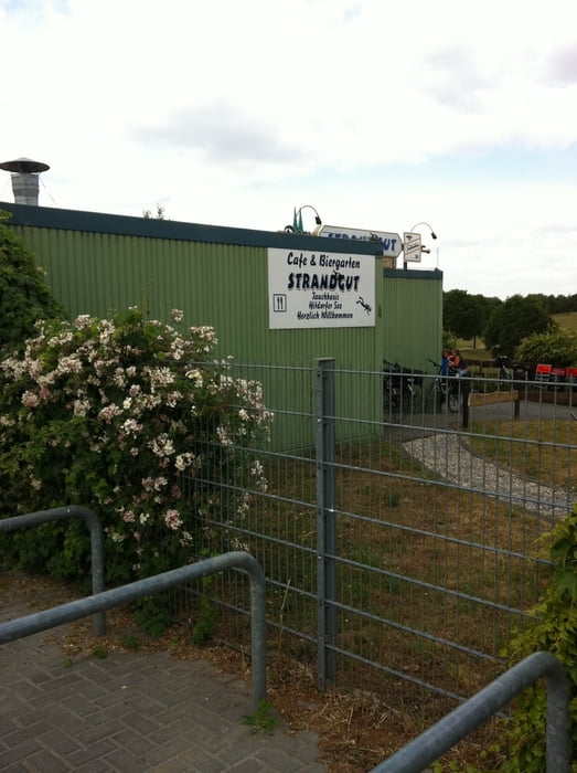
Als Abfahrtspunkt schlage ich die Wasserski Anlage in Langenfeld vor. Hier gibt es auch Parkplätze falls man mit dem Auto anreist. Eine S-Bahn Haltestelle in der nähe gibt es auch ( S6 Haltestelle Langenfeld - Berghausen ) Achtung es gibt zwei Haltestellen in Langenfeld. Langenfeld Rheinland und Langenfeld Berghausen zweitere benötigt Ihr.
Wichtigsten Punkte :
-Wasserski Langenfeld
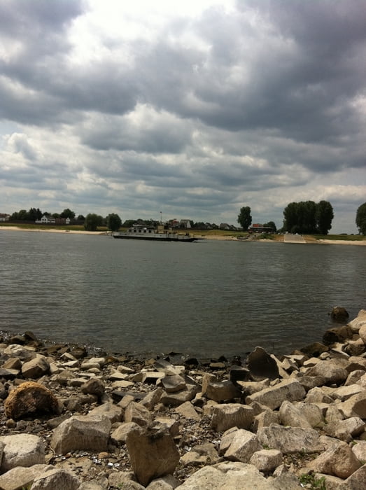
-Leverkusen Hitdorf
-Monheim am Rhein
GPS tracks
Trackpoints-
GPX / Garmin Map Source (gpx) download
-
TCX / Garmin Training Center® (tcx) download
-
CRS / Garmin Training Center® (crs) download
-
Google Earth (kml) download
-
G7ToWin (g7t) download
-
TTQV (trk) download
-
Overlay (ovl) download
-
Fugawi (txt) download
-
Kompass (DAV) Track (tk) download
-
Track data sheet (pdf) download
-
Original file of the author (gpx) download
More about the tour author
|
|
CillitBang |
Add to my favorites
Remove from my favorites
Edit tags
Open track
My score
Rate