


Von Toundout nach Skoura, letzter Bike Tag
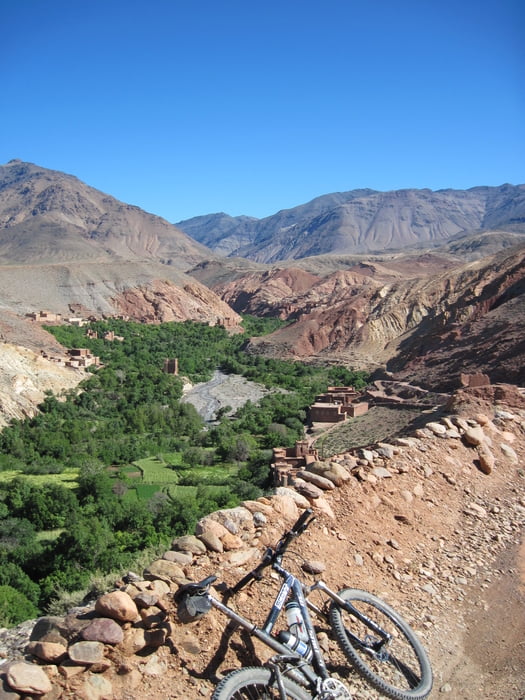
Gleich am Ortsrand verlassen wir die Asphaltstraße und es geht wieder bergauf auf Piste. Auf einer Hochebene gibt es kurze Anstiege und Abfahrten. Es scheint die Sonne, aber es ist nicht zu warm. Ideales Bikewetter.
Wir genießen nochmals die "Piste" und geben zwischendurch richtig Gas. Wir wissen, bald ist es vorbei mit dem Biken in einer solch herrlichen Gegend. Im Hintergrund begleiten uns auch wieder die schneebedeckten Berge.
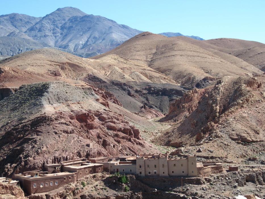
Es geht stetig leicht bergab und wir verlassen den Hohen Atlas. Bald kommt ein breites Flusstal mit zahlreichen Palmen. Es ist schon ein eigenartiger Kontrast, ein Wald von Palmen und im Hintergrund noch schneebedeckte Berge.
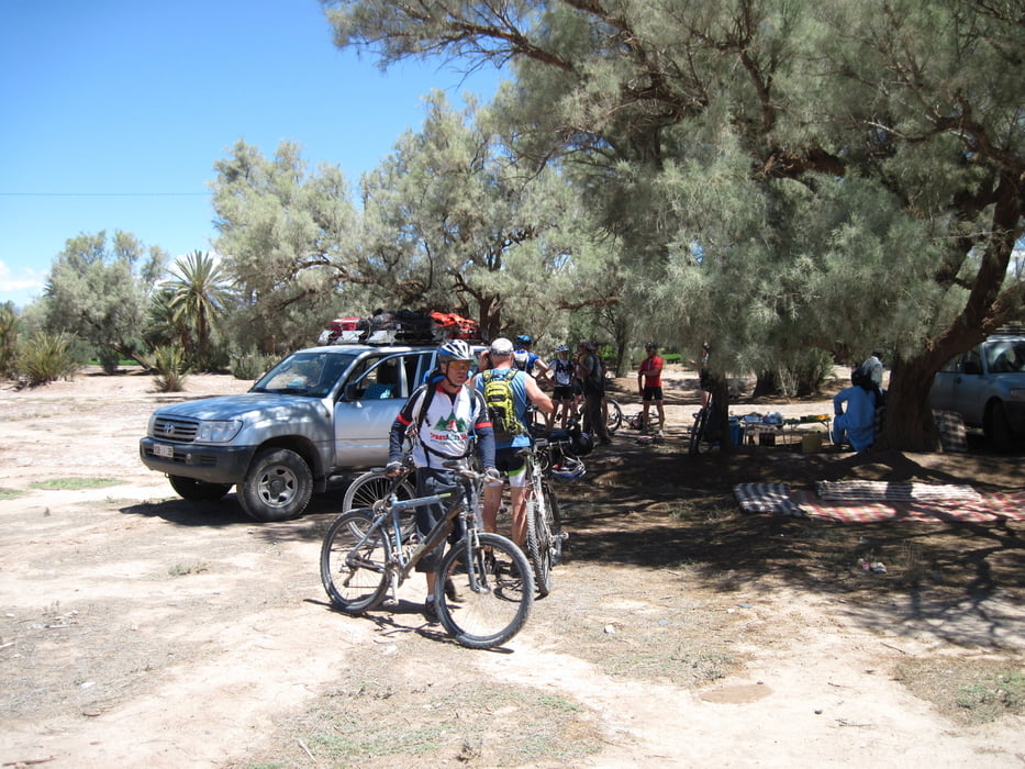
Zum letztenmal gibt es ein Picknick. Unsere Kochmannschaft hat sich nochmals richtig ins Zeug gelegt. Die gebratenen Hähnchenteile schmeckten herrlich.
Tour gallery
Tour map and elevation profile
Minimum height 1186 m
Maximum height 1645 m
More about the tour author
|
|
Frankenhoehe |
Comments

GPS tracks
Trackpoints-
GPX / Garmin Map Source (gpx) download
-
TCX / Garmin Training Center® (tcx) download
-
CRS / Garmin Training Center® (crs) download
-
Google Earth (kml) download
-
G7ToWin (g7t) download
-
TTQV (trk) download
-
Overlay (ovl) download
-
Fugawi (txt) download
-
Kompass (DAV) Track (tk) download
-
Track data sheet (pdf) download
-
Original file of the author (gpx) download
More about the tour author
|
|
Frankenhoehe |
Add to my favorites
Remove from my favorites
Edit tags
Open track
My score
Rate