


Tourdauer incl. Pausen.
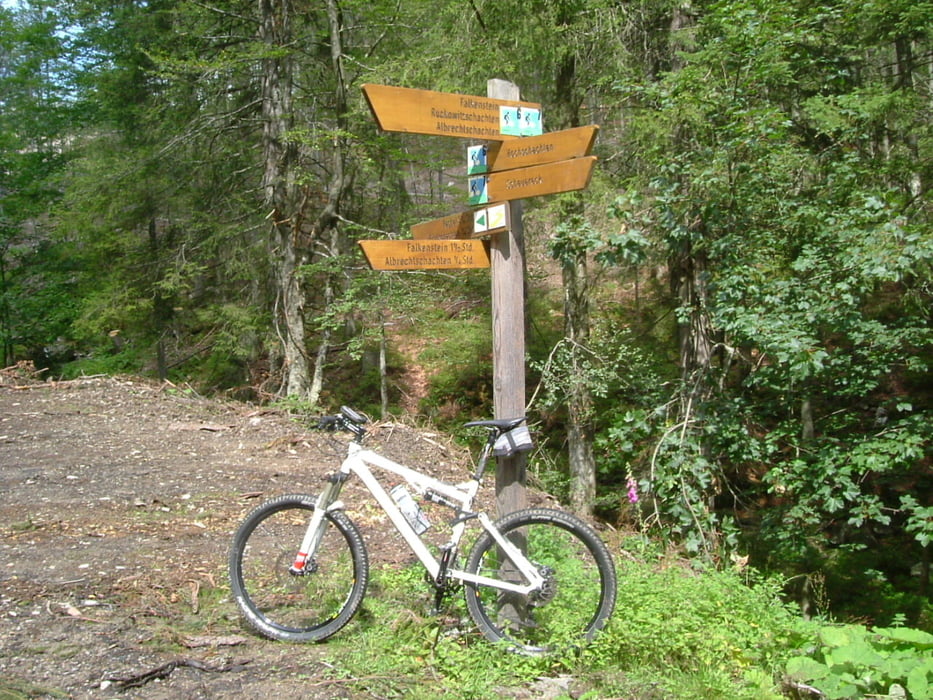
Rundtour durch üppige Nadel- & Buchenwälder, vorbei an der Trinkwasser Talsperre Frauenau und an mehreren Schachten. Möglichkeit zum Abstecher auf den Gr. Falkenstein.
Streckenverlauf weitgehend auf nicht asphaltierten Forststraßen, nur teilweise auf Asphalt.
Einkehr:
Am Start/Ziel beim Gasthaus Scheuereck oder auf dem Großen Falkenstein
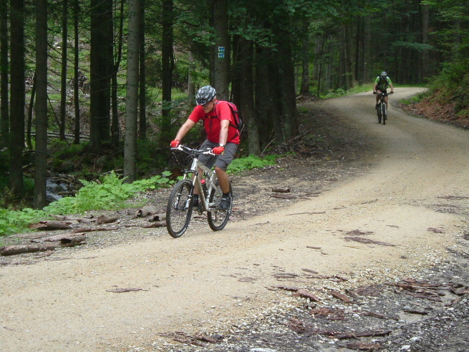
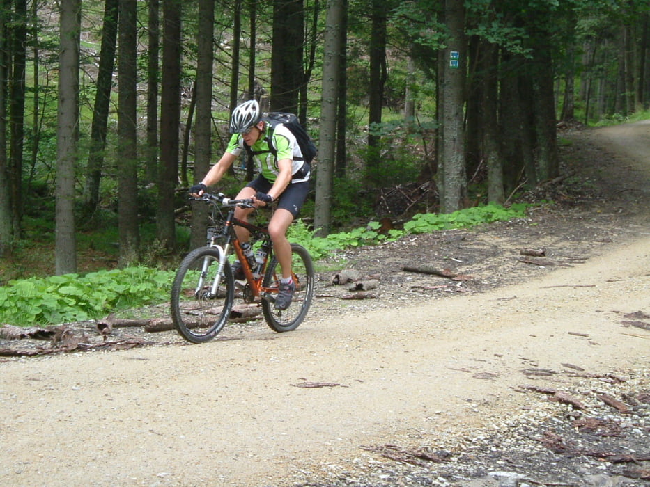
Tour gallery

Tour map and elevation profile
Minimum height 674 m
Maximum height 1243 m
More about the tour author
|
|
charly60 |
Comments

Bayer. Wald, Regen, auf der B 11 weiter Richtung Bayer. Eisenstein um dann rechts abzubiegen Richtung Buchenau / Spiegelhütte. Vor Spiegelhütte nach links bis Parkplatz am Gasthaus Scheuereck (Einkehr empfehlenswert - u.a. leckere hausgemachte Kuchen und Torten).
GPS tracks
Trackpoints-
GPX / Garmin Map Source (gpx) download
-
TCX / Garmin Training Center® (tcx) download
-
CRS / Garmin Training Center® (crs) download
-
Google Earth (kml) download
-
G7ToWin (g7t) download
-
TTQV (trk) download
-
Overlay (ovl) download
-
Fugawi (txt) download
-
Kompass (DAV) Track (tk) download
-
Track data sheet (pdf) download
-
Original file of the author (gpx) download
More about the tour author
|
|
charly60 |
Add to my favorites
Remove from my favorites
Edit tags
Open track
My score
Rate