Login

Forgot your login?

Cookies have to be accepted!
Your browser's cookie functionality is disabled. Please enable this functionality.

Not a member yet?

Register now
Login

Available for registred users only

Log in to use this feature.

Forgot your login?

Cookies have to be accepted!
Your browser's cookie functionality is disabled. Please enable this functionality.

Not a member yet?

Register now
Filter
Categories
Advanced filters
  • Distance (km)
  • Height
Save filters Reset filter

TrackRank

QRCode

Technical data

Distance12,6 km Height179 m Way down174 m Duration02:30 h:m Date05.11.2011
Scores Author User Landscape Fun factor Fitness Technique

Statistics

742 Views 1 Score 144 Downloads 3.00 Average
Rate
  • Track data sheet
  • Directions
  • Downloads
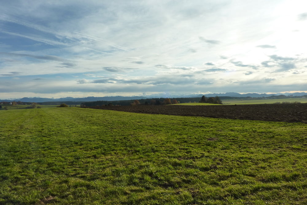
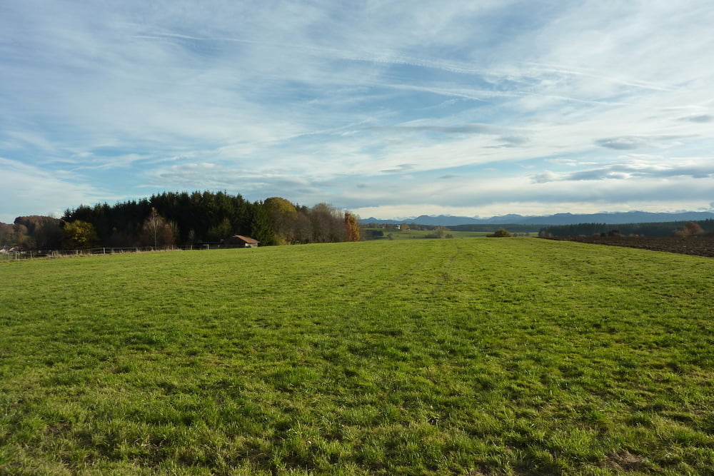
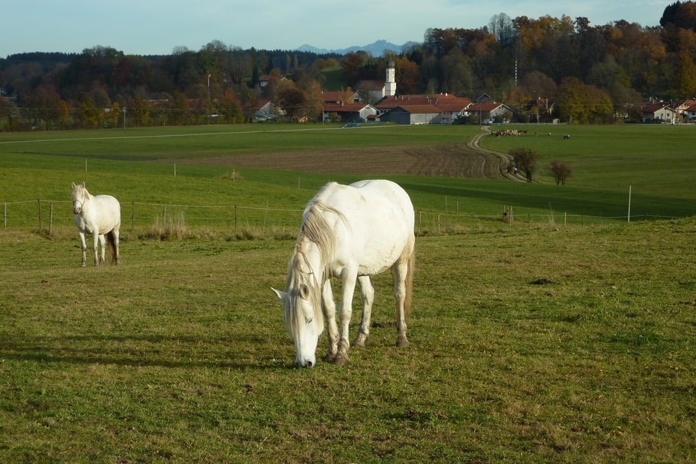
Schöne Rundtour, zum größten Teil über offenes Gelände. Fast keine Steigung. Teilweise führt der Weg entlang kaum befahrener Nebenstraßen, teilweise über Feld- und Waldwege.

Tour gallery

Tour map and elevation profile

  • Open Street Map
  • Google
Minimum height 675 m Maximum height 756 m Detailed view

More about the tour author

RolandTaufkirchen
Member since 2009

Send private message

Comments

B13 München-Holzkirchen. Kurz vor OTTERFING rechts abbiegen Richtung DIETRAMSZELL, bis STEINGAU. Hier vor dem Gasthaus parken.

GPS tracks

Trackpoints
  • GPX / Garmin Map Source (gpx) download
  • TCX / Garmin Training Center® (tcx) download
  • CRS / Garmin Training Center® (crs) download
  • Google Earth (kml) download
  • G7ToWin (g7t) download
  • TTQV (trk) download
  • Overlay (ovl) download
  • Fugawi (txt) download
  • Kompass (DAV) Track (tk) download
  • Track data sheet (pdf) download
  • Original file of the author (gpx) download

More about the tour author

RolandTaufkirchen
Member since 2009

Send private message
Share track
Add to my favorites
Remove from my favorites
Edit tags
My score
Rate
Track: sonnige Panorama-Rundtour westlich von OTTERFING
Type: Hiking
Distance: 12,6 km
Evaluated on:
Duration:
Day(s)
Hour(s)
Minute(s)
Score: Landscape Fun factor Fitness Technique