Login

Forgot your login?

Cookies have to be accepted!
Your browser's cookie functionality is disabled. Please enable this functionality.

Not a member yet?

Register now
Login

Available for registred users only

Log in to use this feature.

Forgot your login?

Cookies have to be accepted!
Your browser's cookie functionality is disabled. Please enable this functionality.

Not a member yet?

Register now
Filter
Categories
Advanced filters
  • Distance (km)
  • Height
Save filters Reset filter

TrackRank

QRCode

Technical data

Distance10,4 km Height966 m Way down918 m Duration3 days 0 h Date13.02.2012
Scores Author Landscape Fun factor Fitness Technique

Statistics

363 Views Scores 36 Downloads Average
Rate
  • Track data sheet
  • Directions
  • Downloads

Aufstieg: 2 Stunden 10 Minuten

Abfahrt: 50 Minuten

Aufstieg laut GPS

Abfahrt über Christebauerhütte
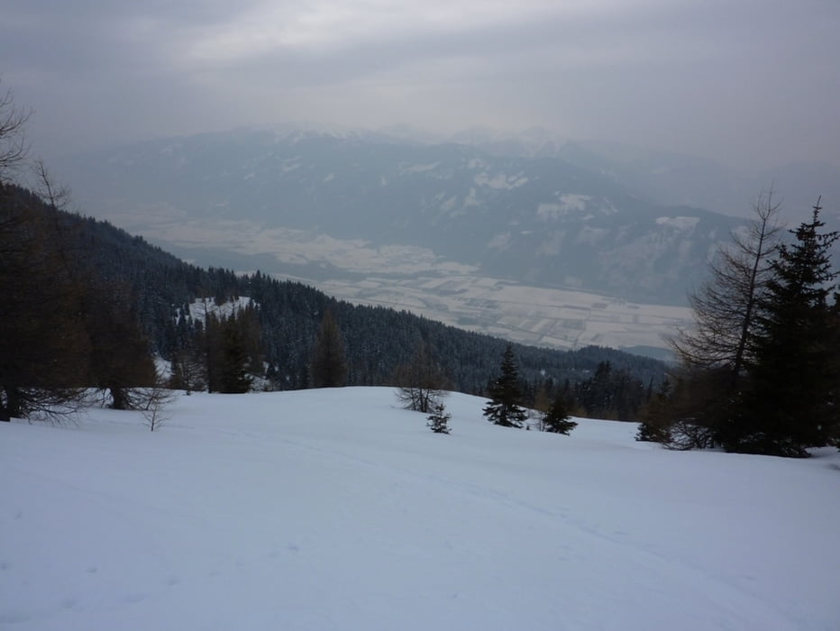
Tour gallery

Tour map and elevation profile

  • Open Street Map
  • Google
Minimum height 1229 m Maximum height 2247 m Detailed view

More about the tour author

harald07071
Member since 2008

Send private message

Comments

Von Spittal durch Pusarnitz hindurch weiter Richtung Göriach, dort führt eine Abzweigung nach Tröbach und weiter zum Hoisbauer.


GPS tracks

Trackpoints
  • GPX / Garmin Map Source (gpx) download
  • TCX / Garmin Training Center® (tcx) download
  • CRS / Garmin Training Center® (crs) download
  • Google Earth (kml) download
  • G7ToWin (g7t) download
  • TTQV (trk) download
  • Overlay (ovl) download
  • Fugawi (txt) download
  • Kompass (DAV) Track (tk) download
  • Track data sheet (pdf) download
  • Original file of the author (gpx) download

More about the tour author

harald07071
Member since 2008

Send private message
Share track
Add to my favorites
Remove from my favorites
Edit tags
My score
Rate
Track: Böse Nase (2285m)
Type: Ski touring
Distance: 10,4 km
Evaluated on:
Duration:
Day(s)
Hour(s)
Minute(s)
Score: Landscape Fun factor Fitness Technique