


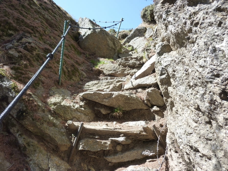
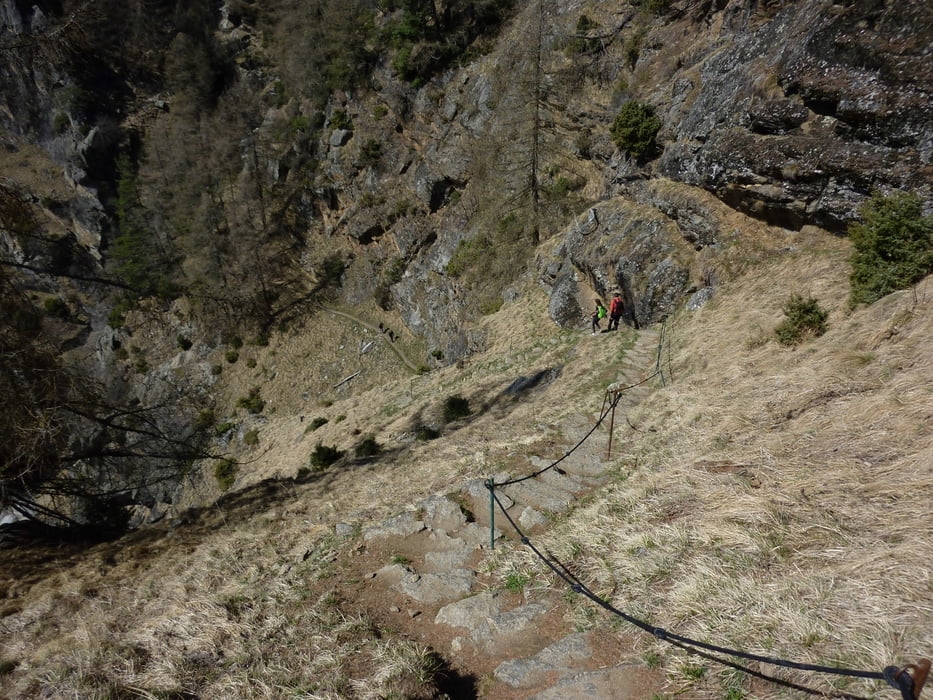
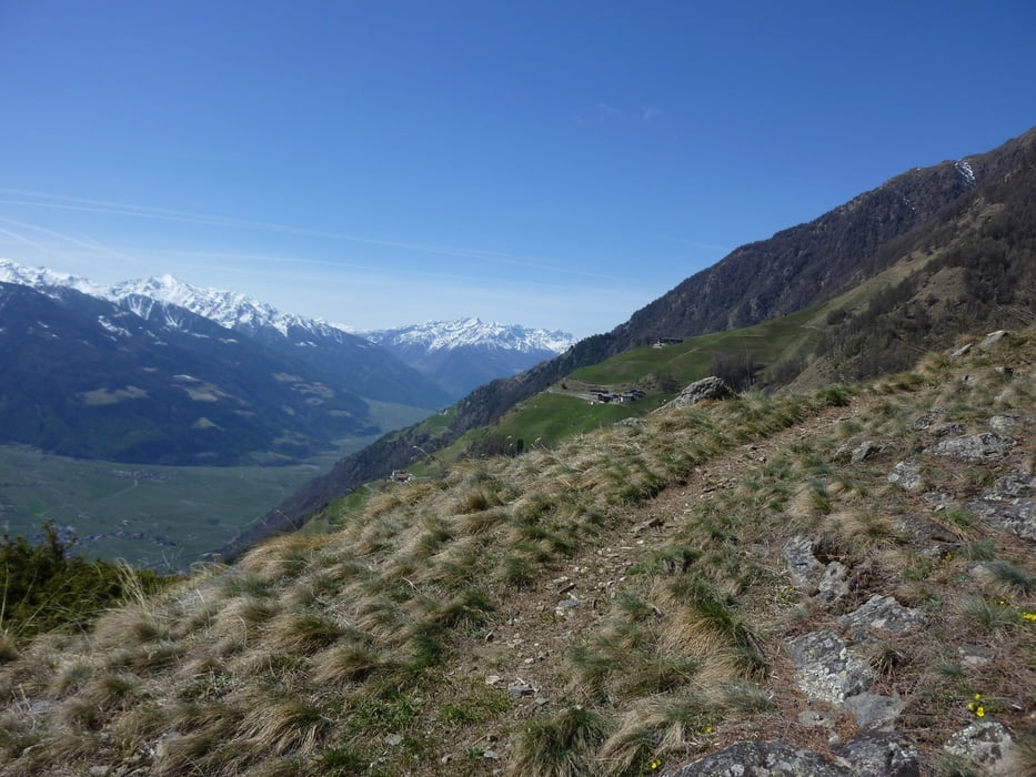
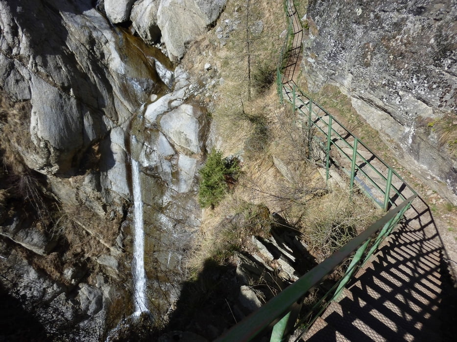
Wanderung auf der Sonnenseite des Vinschgaues mit tollen Panorama auf die Ultner Berge und die Ortlergruppe. Am Meraner Höhenweg bei den Stufen ist etwas Trittsicherheit notwendig. Wer nicht die 1000 Höhenmeter absteigen will, kann den Höhenweg bis zur Seilbahn Unterstell nehmen, muß dann etwas oberhalb Naturns den Wallburgweg nehmen und kommt so zurück zum Auto.
Am Höhenweg gibt es mehrere Einkehrmöglichkeiten: Schnatzhof, Pirchhof, Grubhof
Landkarte Nr. 011
Trackdatum:13.04.2012
Tour gallery
Tour map and elevation profile
Minimum height 540 m
Maximum height 1563 m
More about the tour author
|
|
Califan |
Comments

Von Meran Richtung Reschen bis zum Kreisverkehr vor Naturns. Hier sind rx beim Infostand einige Parkplätze.
Vom Reschen kommend nimmt man die Umfahrungsstrasse und nach dem Tunnel beim Kreisverkehr lx zum Parkplatz
GPS tracks
Trackpoints-
GPX / Garmin Map Source (gpx) download
-
TCX / Garmin Training Center® (tcx) download
-
CRS / Garmin Training Center® (crs) download
-
Google Earth (kml) download
-
G7ToWin (g7t) download
-
TTQV (trk) download
-
Overlay (ovl) download
-
Fugawi (txt) download
-
Kompass (DAV) Track (tk) download
-
Track data sheet (pdf) download
-
Original file of the author (gpx) download
More about the tour author
|
|
Califan |
Add to my favorites
Remove from my favorites
Edit tags
Open track
My score
Rate