


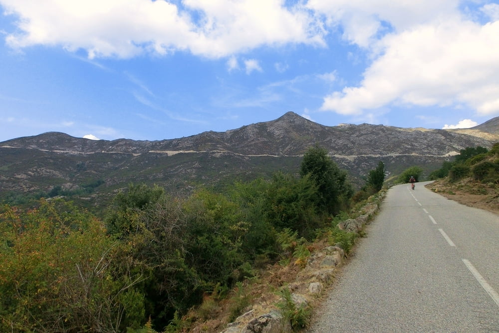
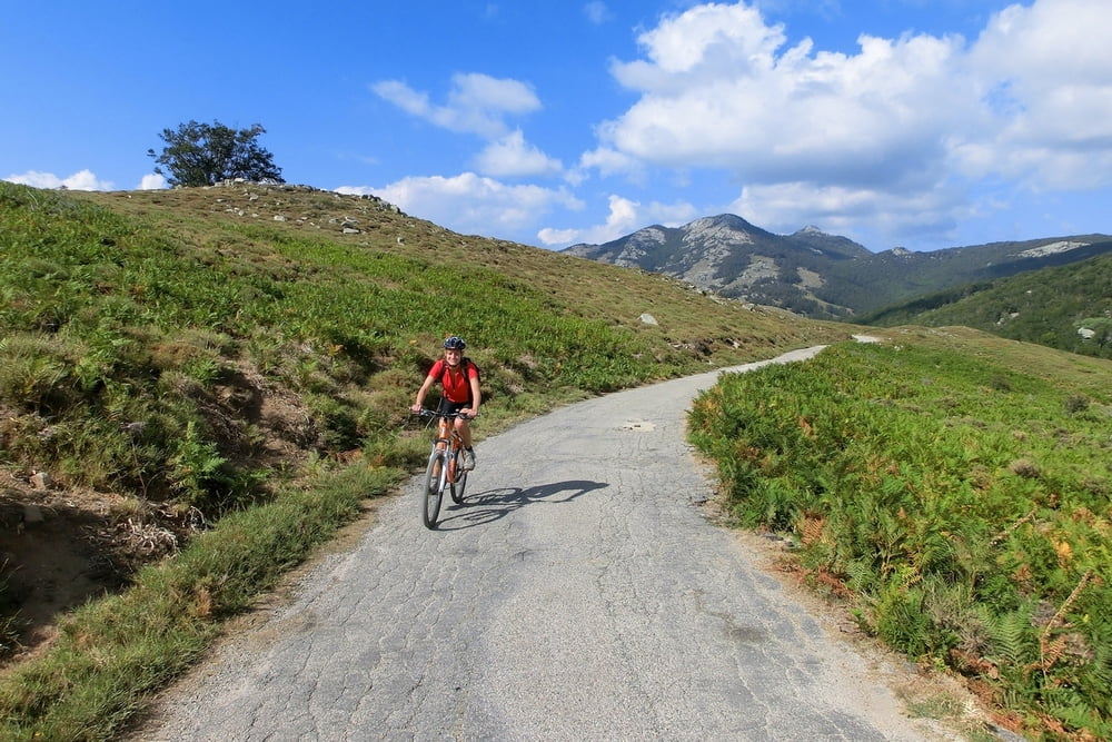
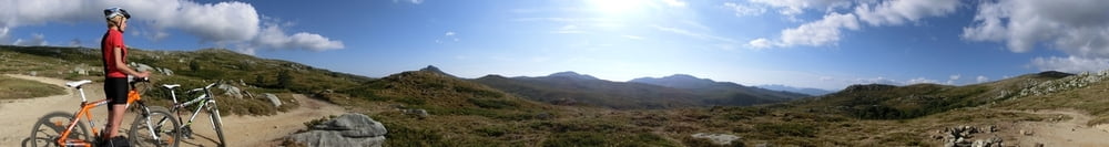
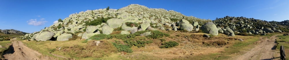
Ich lade mal meine bebilderte Version von #46213 (bzw. Tour 12 Rother) hoch, zum einen damit ihr einen visuellen Eindruck von dieser wirklich richtig schönen MTB Tour bekommt, zum anderen damit ich etwas zum nostalgischen Klicken habe, wenn mich wieder das Fernweh packt.
Gottverlassene Gebirgspässe, Gitan rauchende Hüttenkauze, eine märchenhafte Hochgebirgswiese mit Riesensteinen, Pferden und wilden Schweinen, eine rasante Abfahrt – herrlich!
Ich würd's wieder im Uhrzeigersinn fahren, so kommt mit dem Plateau du Coscione und der Abfahrt das Beste am Schluß. Auf dem Plateau mindestens zwei Einkehrmöglichkeiten, die Bergerie de Bassetta und das Refugio S. Petru. Die Jungs von der Bergerie de Bassetta kochen einen prima Cafe au lait und helfen einem bei Orientierungsproblemen.
Tour gallery
Tour map and elevation profile
Minimum height 714 m
Maximum height 1636 m
More about the tour author
|
|
mackator |
Comments

Start an beliebigem Punkt in Quenza
GPS tracks
Trackpoints-
GPX / Garmin Map Source (gpx) download
-
TCX / Garmin Training Center® (tcx) download
-
CRS / Garmin Training Center® (crs) download
-
Google Earth (kml) download
-
G7ToWin (g7t) download
-
TTQV (trk) download
-
Overlay (ovl) download
-
Fugawi (txt) download
-
Kompass (DAV) Track (tk) download
-
Track data sheet (pdf) download
-
Original file of the author (gpx) download
More about the tour author
|
|
mackator |
Add to my favorites
Remove from my favorites
Edit tags
Open track
My score
Rate