


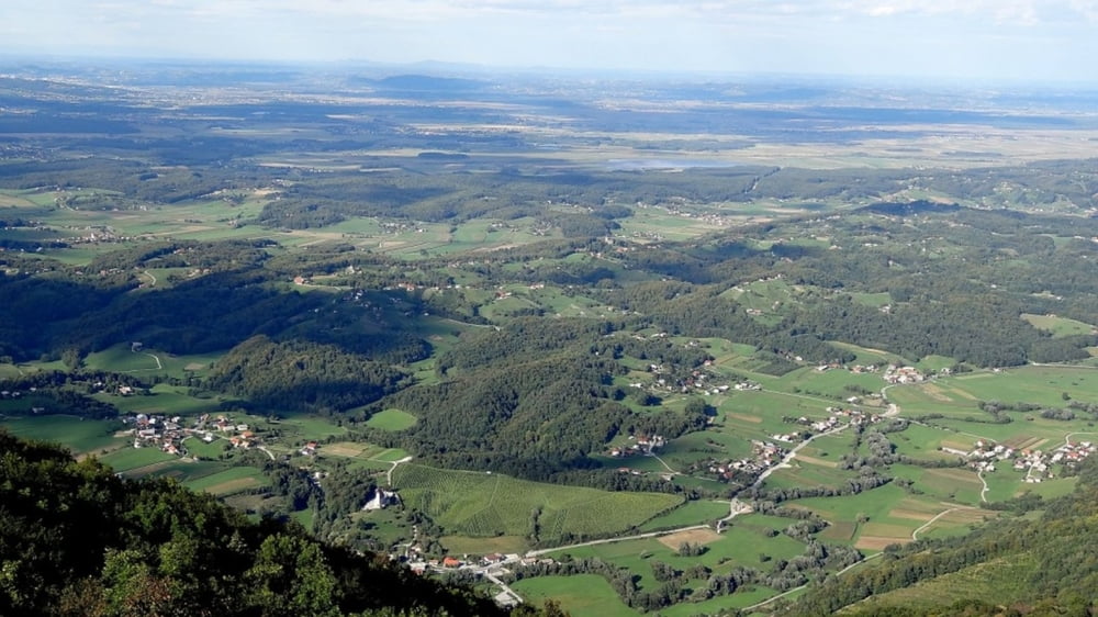
Izhodišče Maribor, po stranskih, manj prometnih cestah obkrožimo Boč (hrib nad Poljčanami) in se preko Rogaške Slatine (znano zdravilišče) zapeljemo do Rogatca ob hrvaški meji kjer se usmerimo proti severu do Majšperka in po Dravskem polju nazaj v Maribor na izhodišče. Razgibana trasa z ne prestrmimi in dolgimi vzponi.
Further information at
https://video.relive.cc/garmin_11183640584_1492869214176.mp4?x-ref=ogTour gallery
Tour map and elevation profile
Minimum height 249 m
Maximum height 416 m
More about the tour author

|
DuleLudWIG |
Comments

GPS tracks
Trackpoints-
GPX / Garmin Map Source (gpx) download
-
TCX / Garmin Training Center® (tcx) download
-
CRS / Garmin Training Center® (crs) download
-
Google Earth (kml) download
-
G7ToWin (g7t) download
-
TTQV (trk) download
-
Overlay (ovl) download
-
Fugawi (txt) download
-
Kompass (DAV) Track (tk) download
-
Track data sheet (pdf) download
-
Original file of the author (gpx) download
More about the tour author
|
|
DuleLudWIG |
Add to my favorites
Remove from my favorites
Edit tags
Open track
My score
Rate