Login

Forgot your login?

Cookies have to be accepted!
Your browser's cookie functionality is disabled. Please enable this functionality.

Not a member yet?

Register now
Login

Available for registred users only

Log in to use this feature.

Forgot your login?

Cookies have to be accepted!
Your browser's cookie functionality is disabled. Please enable this functionality.

Not a member yet?

Register now
Filter
Categories
Advanced filters
  • Distance (km)
  • Height
Save filters Reset filter

TrackRank

QRCode

Technical data

Distance110,1 km Height143 m Way down142 m Duration06:00 h:m Date12.05.2017
Scores Author Landscape Fun factor Fitness Technique

Statistics

188 Views Scores 36 Downloads Average
Rate
  • Track data sheet
  • Directions
  • Downloads

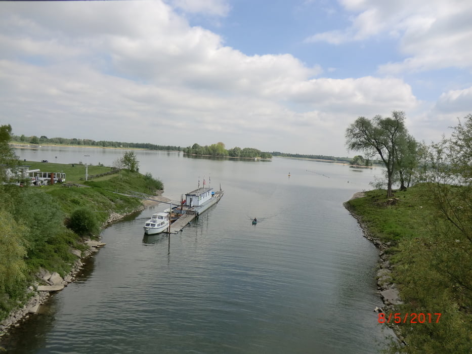
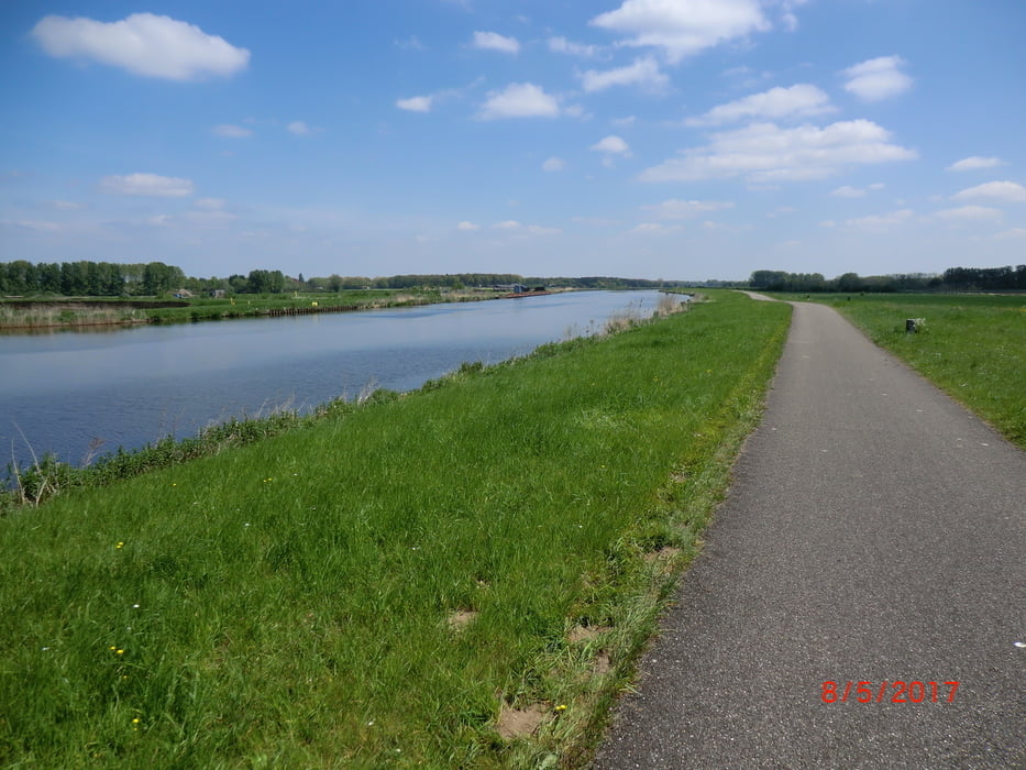
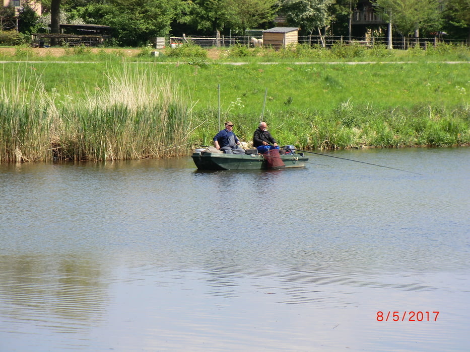
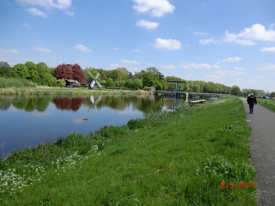
Schöne Tour von Emmerich über De Biland (NL) weiter am Neder-Rijn entlang bis Westervoort  -  weiter an der Ijssel über Doesburg, Doetinchem, Gendringen nach Emmerich.
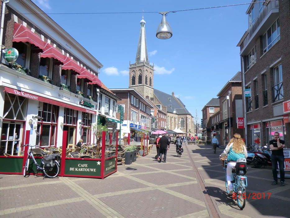
 

Tour gallery

Tour map and elevation profile

  • Open Street Map
  • Google
Minimum height 8 m Maximum height 24 m Detailed view

More about the tour author

bikeman-c
Member since 2008

Send private message

Comments

GPS tracks

Trackpoints
  • GPX / Garmin Map Source (gpx) download
  • TCX / Garmin Training Center® (tcx) download
  • CRS / Garmin Training Center® (crs) download
  • Google Earth (kml) download
  • G7ToWin (g7t) download
  • TTQV (trk) download
  • Overlay (ovl) download
  • Fugawi (txt) download
  • Kompass (DAV) Track (tk) download
  • Track data sheet (pdf) download
  • Original file of the author (gpx) download

More about the tour author

bikeman-c
Member since 2008

Send private message
Share track
Add to my favorites
Remove from my favorites
Edit tags
My score
Rate
Track: Am Rhein und Ijssel (NL) entlang
Type: Road biking
Distance: 110,1 km
Evaluated on:
Duration:
Day(s)
Hour(s)
Minute(s)
Score: Landscape Fun factor Fitness Technique