


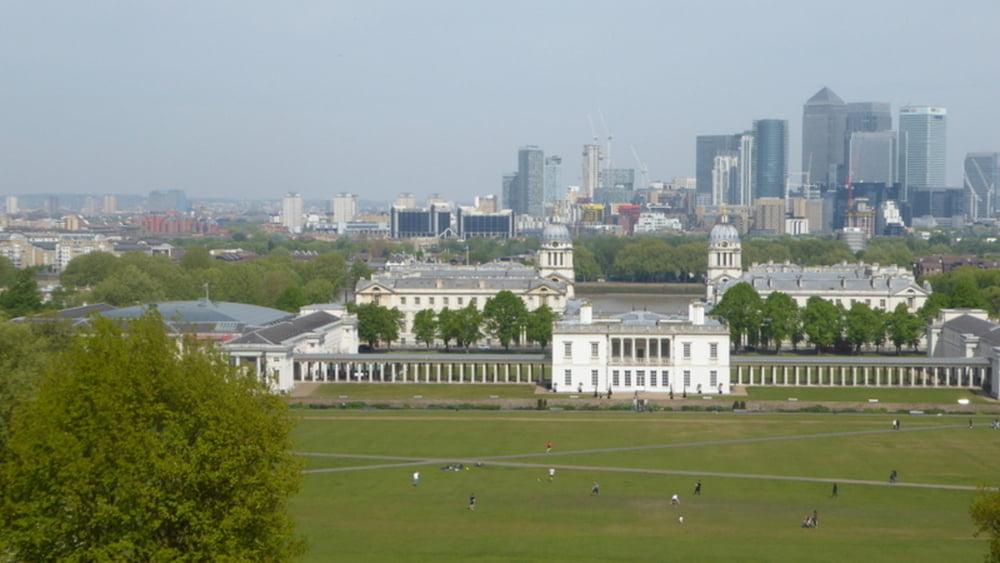
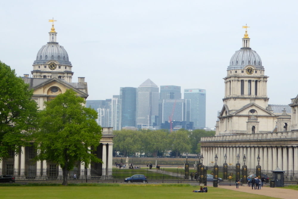
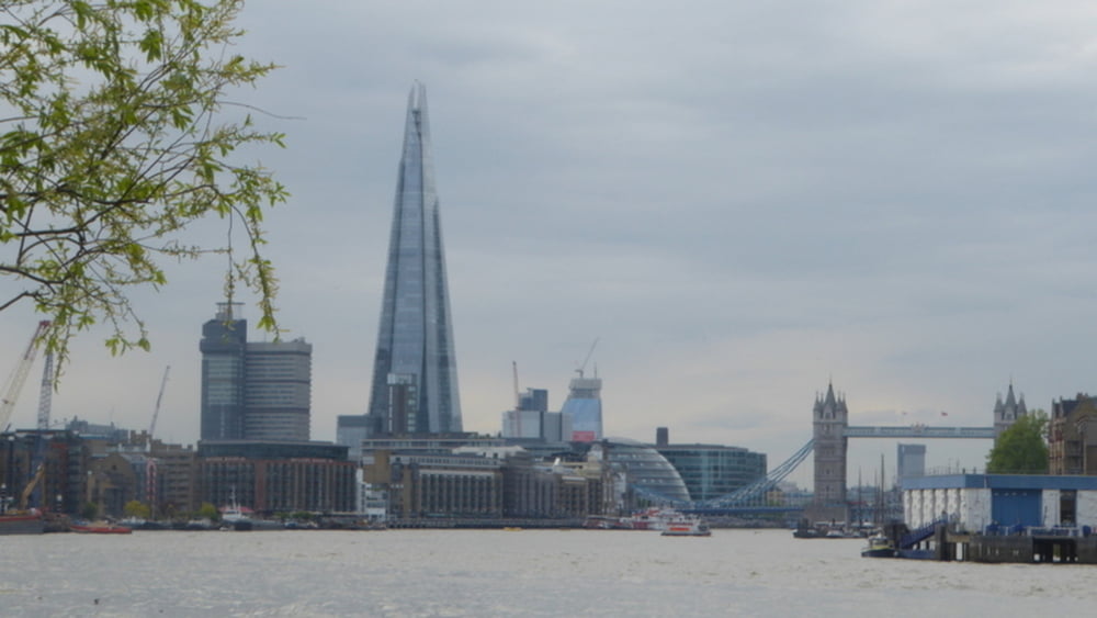
Wir fahren von London aus mit der Docklands Light Railway (DLR Hochbahn) bis nach Island Gardens Station. Von dort unterqueren wir zu Fuß die Themse in einem Tunnel und kommen in Greenwich raus. Dort vorbei am Teeklipper Cutty Shark wandern wir hoch zum Royal Observatory und dem 0-Meridian. Nach Besichtignen steigen wir wieder den Hügel hinab zur Themse und gehen dort auf dem "Thames Path" bis nach London zur Tower Bridge
Further information at
http://www.visitlondon.com/things-to-do/london-areas/greenwich/top-10-things-to-do-in-greenwich#1WsjkBfvGRUR4Ir6.97Tour gallery
Tour map and elevation profile
Minimum height -11 m
Maximum height 65 m
More about the tour author
|
|
horst1508 |
Comments

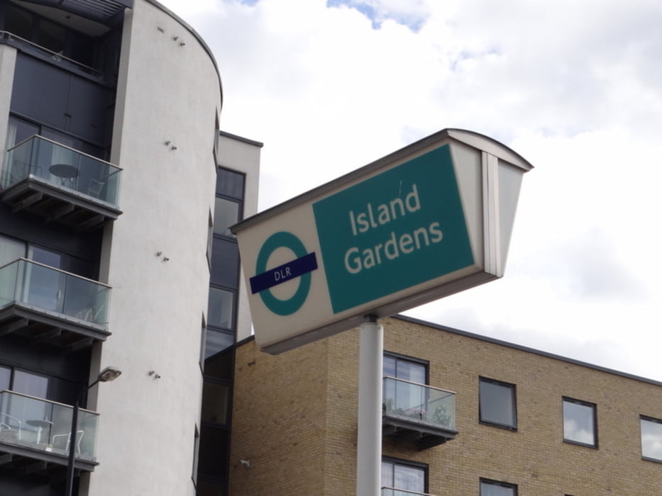
Mit Transport for London geht es mit DLR bis zur Station Island Gardens
GPS tracks
Trackpoints-
GPX / Garmin Map Source (gpx) download
-
TCX / Garmin Training Center® (tcx) download
-
CRS / Garmin Training Center® (crs) download
-
Google Earth (kml) download
-
G7ToWin (g7t) download
-
TTQV (trk) download
-
Overlay (ovl) download
-
Fugawi (txt) download
-
Kompass (DAV) Track (tk) download
-
Track data sheet (pdf) download
-
Original file of the author (gpx) download
More about the tour author
|
|
horst1508 |
Add to my favorites
Remove from my favorites
Edit tags
Open track
My score
Rate