
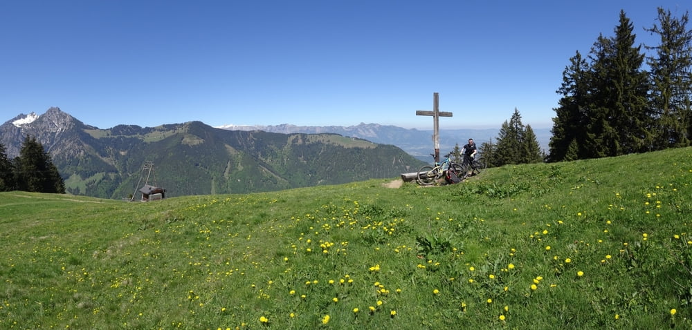

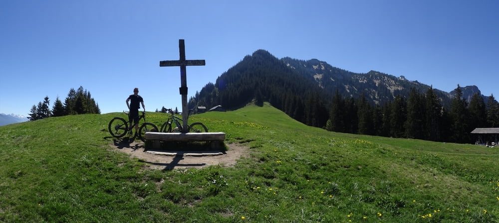
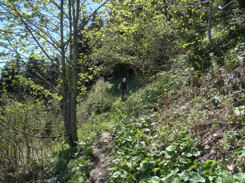
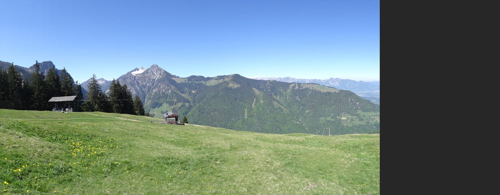
Tour zur Bazoraalpe von Frastanz aus
Ein Highlight in der Gegend.
Da es abwärts oft durch Wiesen geht bitte besonders sauber auf den Wegen fahren und nicht shreddern (Weg kaputtfahren).
Schwierierigkeit S2
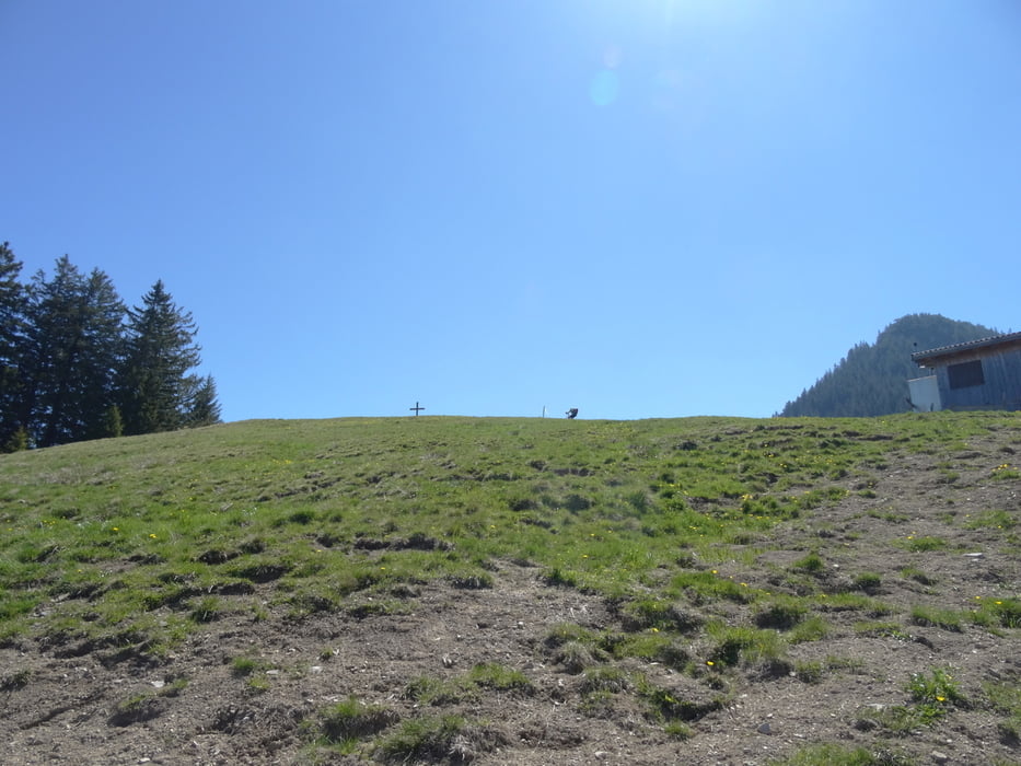
Tour gallery
Tour map and elevation profile
Minimum height 464 m
Maximum height 1422 m
More about the tour author
|
|
skyhopper |
Comments

Parken am Rathaus
GPS tracks
Trackpoints-
GPX / Garmin Map Source (gpx) download
-
TCX / Garmin Training Center® (tcx) download
-
CRS / Garmin Training Center® (crs) download
-
Google Earth (kml) download
-
G7ToWin (g7t) download
-
TTQV (trk) download
-
Overlay (ovl) download
-
Fugawi (txt) download
-
Kompass (DAV) Track (tk) download
-
Track data sheet (pdf) download
-
Original file of the author (gpx) download
More about the tour author
|
|
skyhopper |
Add to my favorites
Remove from my favorites
Edit tags
Open track
My score
Rate