


Arabba-Passo Pordoi- Rg Rif Sass Becè-Bindelweg Bindelweghütte-
Porta Vescovo-Ornella-Renaz--Weg22 Verda-Arabba
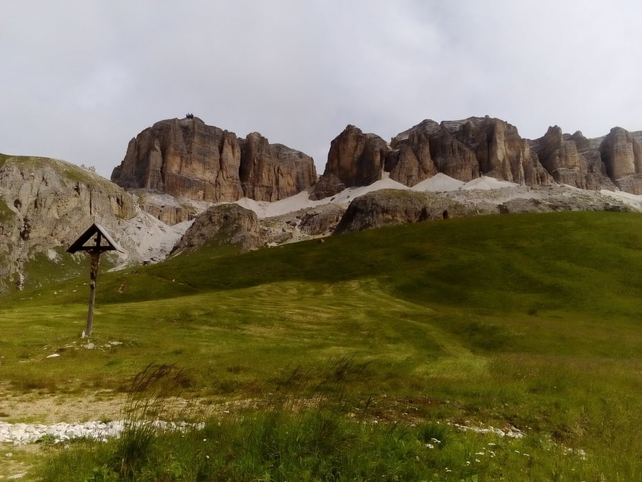
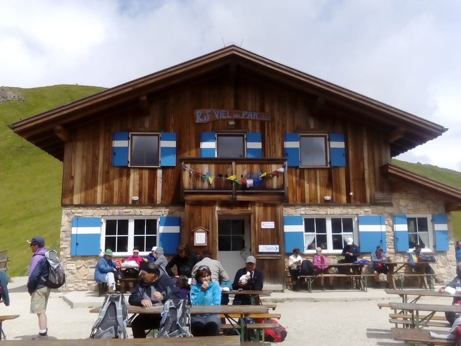
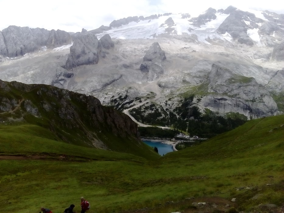
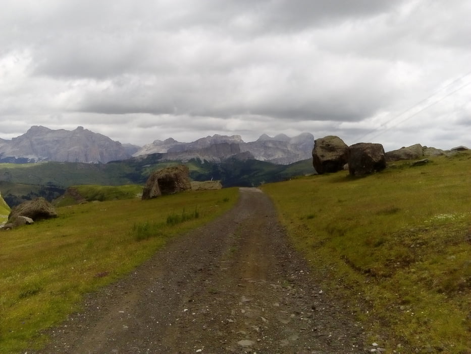
Auffahrt zum Pordoi ziemlich diritissima, um die verkehrsreiche Passstraße zu meiden. Vom Pass hinauf zum Bindelweg auch ein wenig geschoben. Dann geht’s dahin. Die Fußgängermassen hätte ich mir schlimmer vorgestellt, nur freundliche Leute getroffen. Das Panorama ist selbst bei einigermaßen bedecktem Himmel immer noch überwältigend! Vom Porta Vescovo hinunter zunächst auf Schotterstraße gut fahrbar, später muss man kurz durch die Botanik und dann kommt man auf einen Karrenweg, der schwer zu fahren ist. Nach Ornella taucht man förmlich in ein Loch hinab, 1395 hm. Straße Richtung Cherz, um den Weg 22 - singletrack - zu erreichen. Alles in allem eine sehr schöne Tour in traumhafter Bergkulisse, allerdings technisch einigermaßen herausfordernd.
Tour gallery
Tour map and elevation profile
Minimum height 1380 m
Maximum height 2467 m
More about the tour author
|
|
mitter |
Comments

Start in Arabba Garni Bellavista.
GPS tracks
Trackpoints-
GPX / Garmin Map Source (gpx) download
-
TCX / Garmin Training Center® (tcx) download
-
CRS / Garmin Training Center® (crs) download
-
Google Earth (kml) download
-
G7ToWin (g7t) download
-
TTQV (trk) download
-
Overlay (ovl) download
-
Fugawi (txt) download
-
Kompass (DAV) Track (tk) download
-
Track data sheet (pdf) download
-
Original file of the author (gpx) download
More about the tour author
|
|
mitter |
Add to my favorites
Remove from my favorites
Edit tags
Open track
My score
Rate