Login

Forgot your login?

Cookies have to be accepted!
Your browser's cookie functionality is disabled. Please enable this functionality.

Not a member yet?

Register now
Login

Available for registred users only

Log in to use this feature.

Forgot your login?

Cookies have to be accepted!
Your browser's cookie functionality is disabled. Please enable this functionality.

Not a member yet?

Register now
Filter
Categories
Advanced filters
  • Distance (km)
  • Height
Save filters Reset filter

TrackRank

QRCode

Technical data

Distance59,1 km Height666 m Way down505 m Duration02:49 h:m Date15.08.2017
Scores Author Landscape Fun factor Fitness Technique

Statistics

187 Views Scores 22 Downloads Average
Rate
  • Track data sheet
  • Directions
  • Downloads

Diese Tour bin ich zwar mit meinem E-MTB gefahren, aber ein Trekkingrad täte es auch, weil die Strecke sicher zu 75% auf Asphalt verläuft.

Die Rückfahrt zum Startpunkt geschieht auf der Straße und macht nocheinmal 11 km Asphalt.
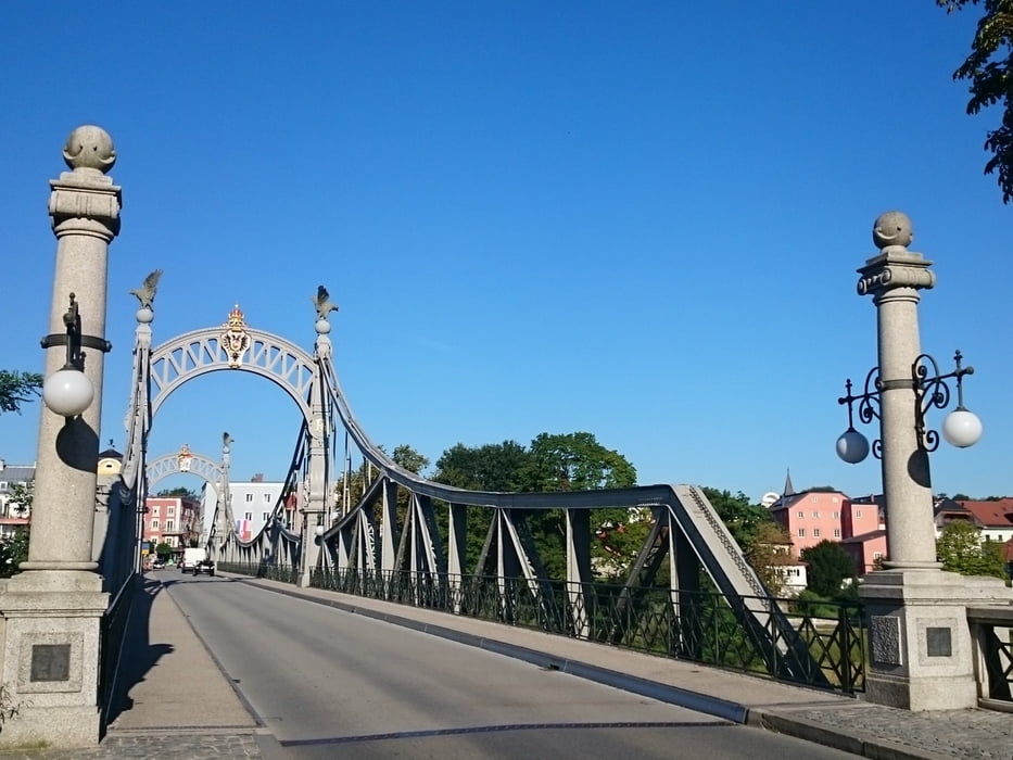
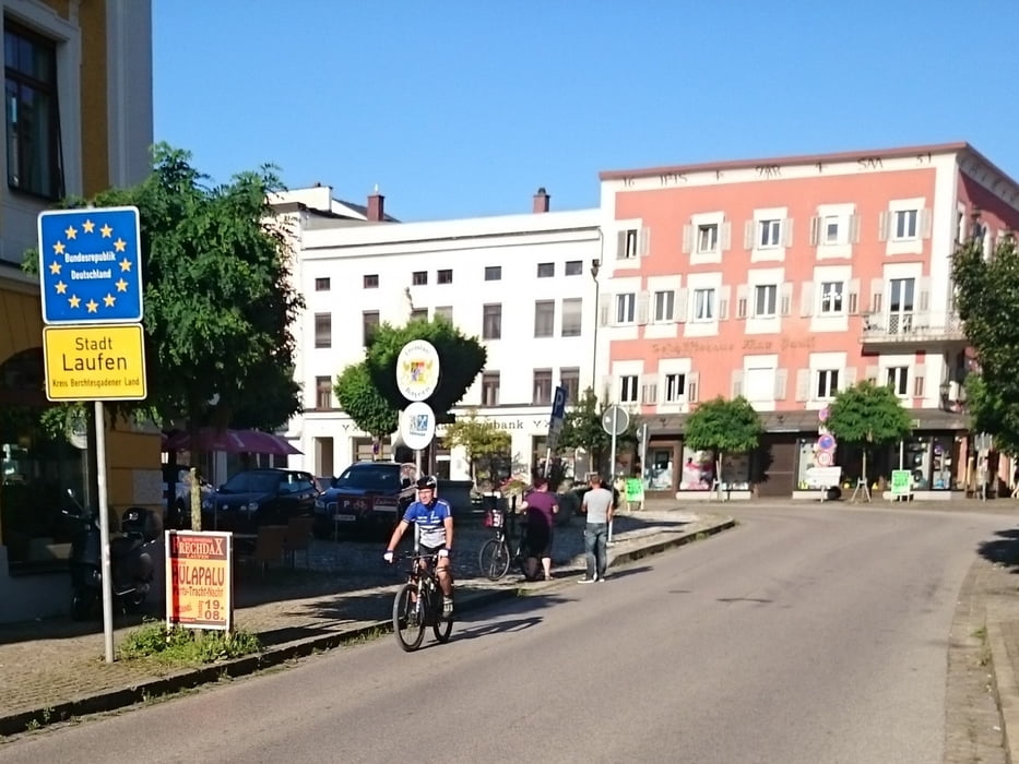
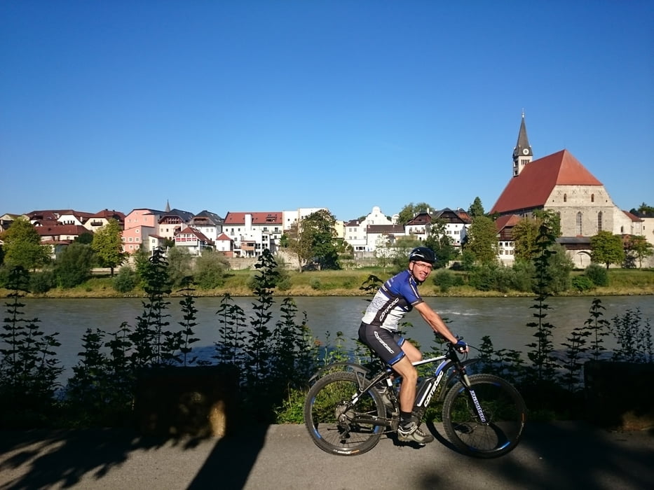
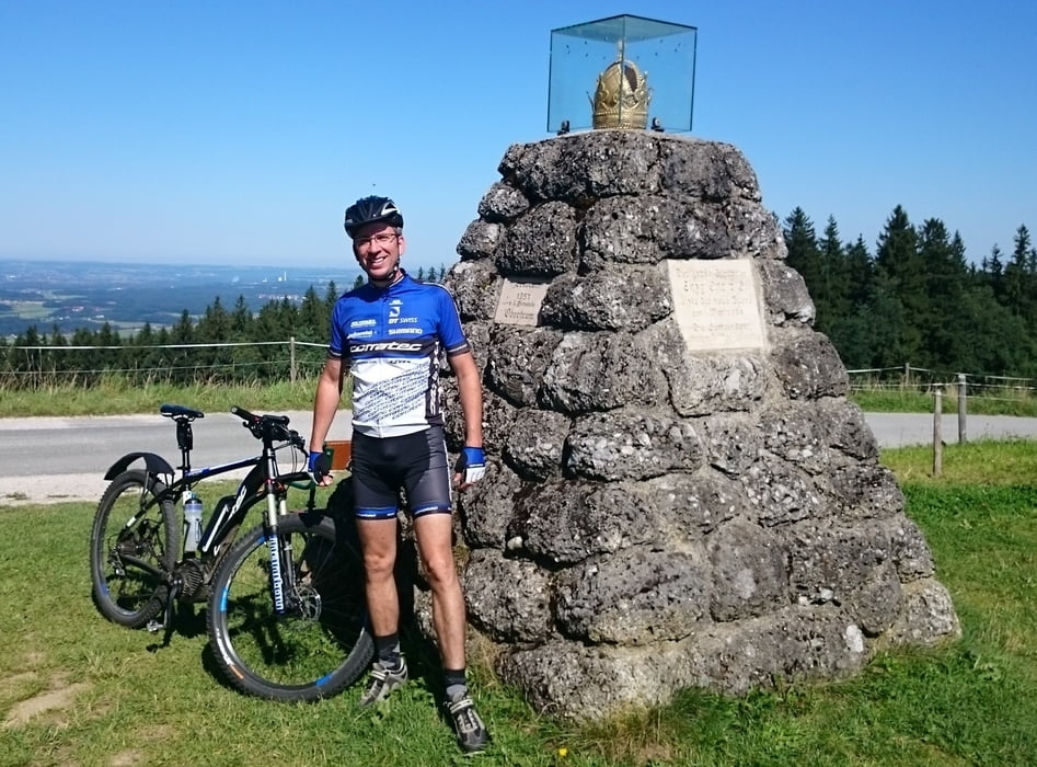
Tour gallery

Tour map and elevation profile

  • Open Street Map
  • Google
Minimum height 377 m Maximum height 761 m Detailed view

More about the tour author

rjkas
Member since 2003

Send private message

Comments

GPS tracks

Trackpoints
  • GPX / Garmin Map Source (gpx) download
  • TCX / Garmin Training Center® (tcx) download
  • CRS / Garmin Training Center® (crs) download
  • Google Earth (kml) download
  • G7ToWin (g7t) download
  • TTQV (trk) download
  • Overlay (ovl) download
  • Fugawi (txt) download
  • Kompass (DAV) Track (tk) download
  • Track data sheet (pdf) download
  • Original file of the author (tcx) download

More about the tour author

rjkas
Member since 2003

Send private message
Share track
Add to my favorites
Remove from my favorites
Edit tags
My score
Rate
Track: Schöngumprechting - Laufen (D) - Haunsberg > e-mtb
Type: Trekkingbike
Distance: 59,1 km
Evaluated on:
Duration:
Day(s)
Hour(s)
Minute(s)
Score: Landscape Fun factor Fitness Technique