


Start der Tour ist beim Sportplatz in Sittendorf.
Von Sittendorf geht es zum Schloss Wildegg, über eine Forststraße auf die Sulzer Höhe und weiter auf den Höllenstein.
Ab dem Höllenstein bergab zur Seewiese und über einen Wanderweg nach Kaltenleutgeben.
In Kaltenleutgeben Richtung Sportplatz, und danach über die Parabluistrecke Richtung Hochroterd.
Am Waldrand kurz vor Hochroterd, bevor man auf die Straße triftt zweigt ein Wanderwg auf die Sulzer Höhe ab.
Von der Sulzer Höhe verläuft die Tour durch Sulz und über Feldwege zurück nach Sittendorf.
Further information at
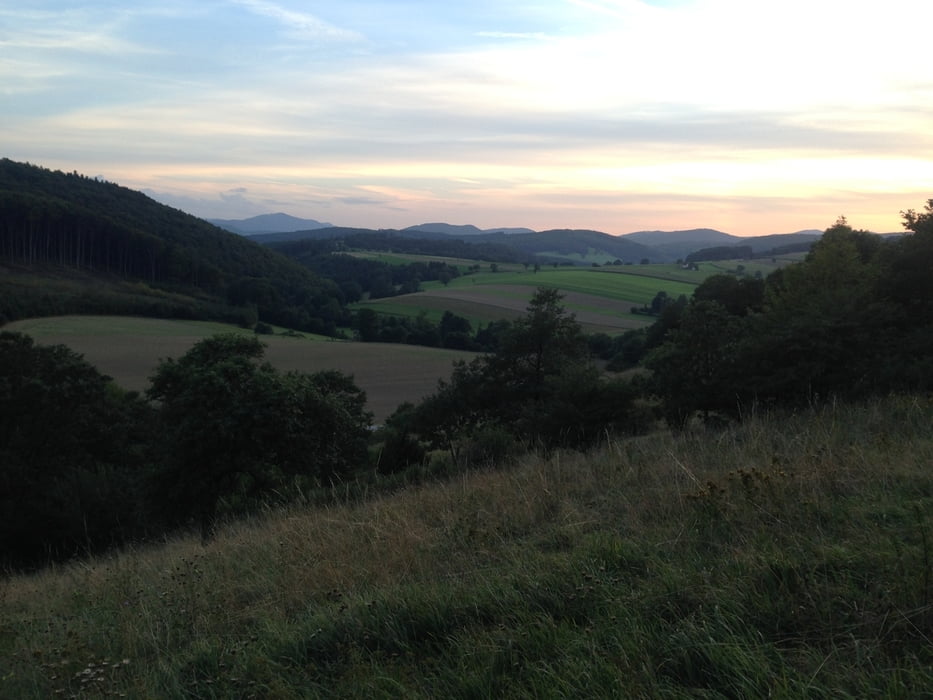
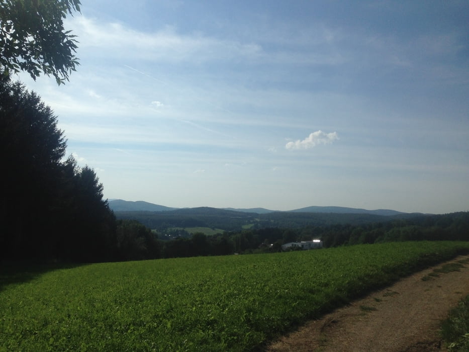
http://www.hoellensteinhaus.com/Tour gallery
Tour map and elevation profile
Minimum height 330 m
Maximum height 644 m
More about the tour author
|
|
kersti |
Comments

Parkmöglichkeit beim Sportplatz in Sittendorf.
GPS tracks
Trackpoints-
GPX / Garmin Map Source (gpx) download
-
TCX / Garmin Training Center® (tcx) download
-
CRS / Garmin Training Center® (crs) download
-
Google Earth (kml) download
-
G7ToWin (g7t) download
-
TTQV (trk) download
-
Overlay (ovl) download
-
Fugawi (txt) download
-
Kompass (DAV) Track (tk) download
-
Track data sheet (pdf) download
-
Original file of the author (gpx) download
More about the tour author
|
|
kersti |
Add to my favorites
Remove from my favorites
Edit tags
Open track
My score
Rate