
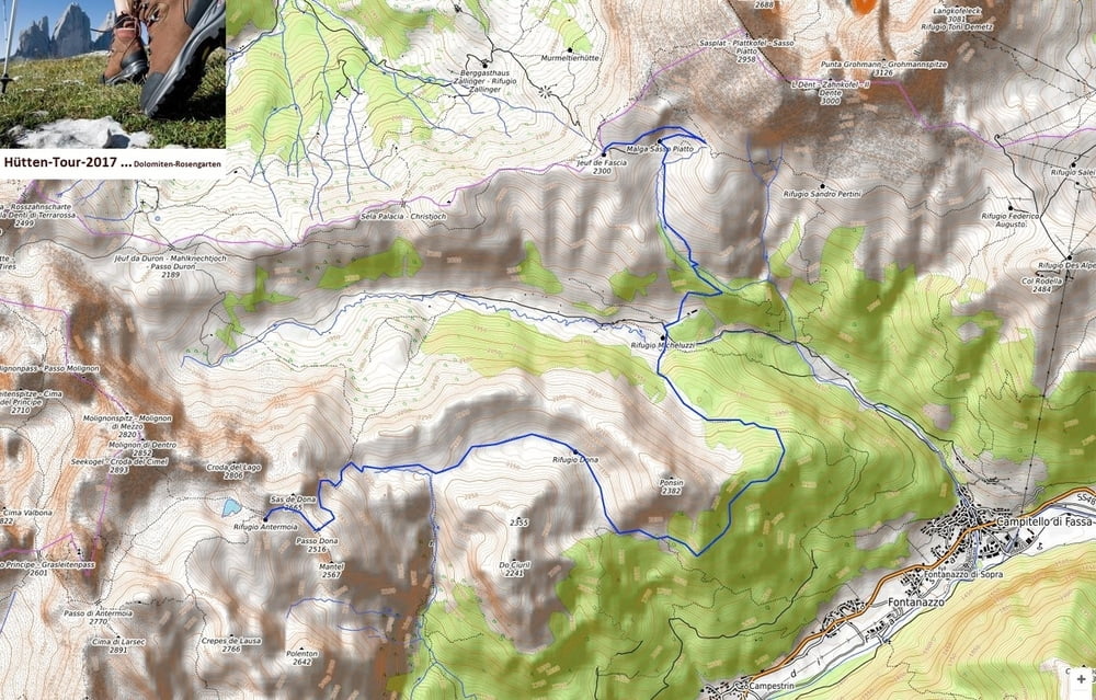

Hüttentour-Tour-3-0-Plattkofelhütte-Antermoiahütte
Tour 3 - 12 km
Gesamtseigung: 850 Hm
Gesamtgefälle: 770 Hm
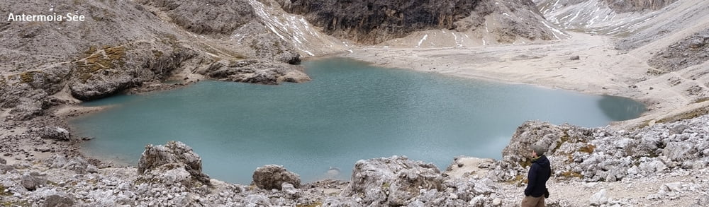
Plattkofelhütte - Antermoia
auf Weg-Nr. 533 (Richtung: Micheluzzi-Hütte)
Abzweig Weg-Nr. 532-578 (Richtung: Zopei)
Achtung: Abzweig "Sentiero Forestale prá Molin" nicht verpassen (Wegweiser!)
Rechts Weg-Nr. 577 Richtung "Rifugio Dona" - Camerloi (2.200m)
hier weiter auf Weg-Nr. 580
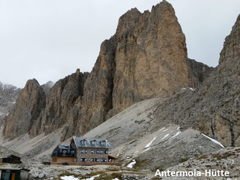
Weg-Nr. 580 vorbei an Passo Dona (2.516m) bis zur Hütte Antermoia
Tour gallery
Tour map and elevation profile
Minimum height 1838 m
Maximum height 2525 m
More about the tour author
|
|
Stummi |
Comments

GPS tracks
Trackpoints-
GPX / Garmin Map Source (gpx) download
-
TCX / Garmin Training Center® (tcx) download
-
CRS / Garmin Training Center® (crs) download
-
Google Earth (kml) download
-
G7ToWin (g7t) download
-
TTQV (trk) download
-
Overlay (ovl) download
-
Fugawi (txt) download
-
Kompass (DAV) Track (tk) download
-
Track data sheet (pdf) download
-
Original file of the author (gpx) download
More about the tour author
|
|
Stummi |
Add to my favorites
Remove from my favorites
Edit tags
Open track
My score
Rate