Login

Forgot your login?

Cookies have to be accepted!
Your browser's cookie functionality is disabled. Please enable this functionality.

Not a member yet?

Register now
Login

Available for registred users only

Log in to use this feature.

Forgot your login?

Cookies have to be accepted!
Your browser's cookie functionality is disabled. Please enable this functionality.

Not a member yet?

Register now
Filter
Categories
Advanced filters
  • Distance (km)
  • Height
Save filters Reset filter

TrackRank

QRCode

Technical data

Distance24,2 km Height73 m Way down73 m Duration00:00 h:m Date16.10.2017
Scores Author Landscape Fun factor Fitness Technique

Statistics

212 Views Scores 43 Downloads Average
Rate
  • Track data sheet
  • Directions
  • Downloads
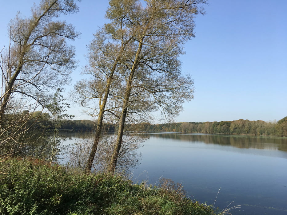
Vom Bahnhof geht es mit dem Faltrad in einem Bogen zur Fußgängerzone. Dann rund um den Halterner und Hullener Stausee zurück zum Bahnhof.

Tour gallery

Tour map and elevation profile

  • Open Street Map
  • Google
Minimum height 36 m Maximum height 60 m Detailed view

More about the tour author

Velo-Oldie
Member since 2009

Send private message

Comments

GPS tracks

Trackpoints
  • GPX / Garmin Map Source (gpx) download
  • TCX / Garmin Training Center® (tcx) download
  • CRS / Garmin Training Center® (crs) download
  • Google Earth (kml) download
  • G7ToWin (g7t) download
  • TTQV (trk) download
  • Overlay (ovl) download
  • Fugawi (txt) download
  • Kompass (DAV) Track (tk) download
  • Track data sheet (pdf) download
  • Original file of the author (gpx) download

More about the tour author

Velo-Oldie
Member since 2009

Send private message
Share track
Add to my favorites
Remove from my favorites
Edit tags
My score
Rate
Track: Haltern am See: Stadt und See
Type: Bicycle tours
Distance: 24,2 km
Evaluated on:
Duration:
Day(s)
Hour(s)
Minute(s)
Score: Landscape Fun factor Fitness Technique